Search Results for: “Fife”
UK Maps Collection


A collection of over 100 maps covering England, Scotland, Ireland and Wales. These high resolution maps can show you how place-names and counties differed from the present day. Contains various printable maps showing towns, counties, and countries in the UK from as early as 1660. More Info
Product Code: GRD36
Can't find what you're looking for? Try using our filter system to narrow down your search.
Available through our sister site GenFair
FIFE & KINROSS 1845
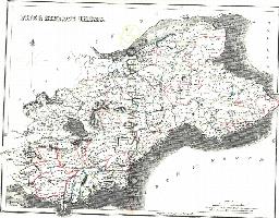
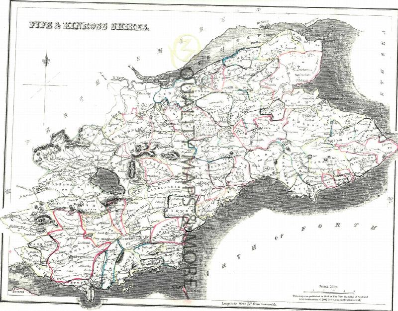
A QUALITY A3 SIZE COLOUR REPRODUCTION FROM THE NEW STATISTICAL ACCOUNT OF SCOTLAND 1845. MOST MAPS HAVE THE PARISHES OUTLINED LASER PRINTER ON GOOD QUALITY CARTRIDGE PAPER. SENT FOLDED IN A PLASTIC DISPLAY SLEEVE IN A STIFF CARD ENVELOPE AT THE LARGE LETTER RATE. SCALES VARY [WATERMARKS WILL NOT SHOW ON PURCHASES]
Catholic Ancestor Volume 09 Number 5 / June 2003
- Catholics In Cambridgeshire - Recusants Of Lancashire And Loyalty To The King - Fosters, Charnocks, Houghtons, Daltons, and Holdens In The 17th Century - Catholics In Two City Of London Parishes - Warrington Catholic Philanthropic Society - Catholics Marriage Registers In Fife - Irish Nuns In America - Review: Branching Out - Fruits Of The Tree
Scotland’s Last Days of Colliery Steam by Tom Heavyside
Long after steam engines disappeared from passenger rail lines, they were used extensively around Scotland's coal mines until as late as 1981. In this collection of 58 superb photographs, taken by the author during the mid- to late 1970s, these engines are shown hard at work at collieries in Ayrshire, Fife, Clackmannanshire, Stirlingshire, Lanarkshire and the Lothians. Enhanced by informative capt...More Info
PS90 Compleat Parish Officer 1734
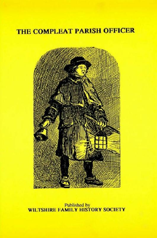
Reprint of a guide for parish officers to deal with complex poor laws and social problems. A5 104p