Search Results for: “Norfolk”
S&N Tri-County CD of Devon, Norfolk and Warwick
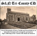
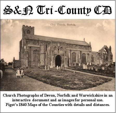
Church photographs of Devon, Norfolk, and Warwickshire in an interactive document and as images for personal use; Pigot's 1840 maps of the counties with details and distances... More Info
Product Code: GRD30
UK Maps Collection


A collection of over 100 maps covering England, Scotland, Ireland and Wales. These high resolution maps can show you how place-names and counties differed from the present day. Contains various printable maps showing towns, counties, and countries in the UK from as early as 1660. More Info
Product Code: GRD36
Can't find what you're looking for? Try using our filter system to narrow down your search.
Available through our sister site GenFair
Norfolk - A Genealogical Bibliography
Topics covered include Norfolk history, bibliography and archives, journals and newspapers, pedigree collections, parish registers, monumental inscriptions, heraldry, probate records, official lists of names, directories, ecclesiastical records, estate records, education, etc.