Search Results for: “Northamptonshire”
UK Maps Collection


A collection of over 100 maps covering England, Scotland, Ireland and Wales. These high resolution maps can show you how place-names and counties differed from the present day. Contains various printable maps showing towns, counties, and countries in the UK from as early as 1660. More Info
Product Code: GRD36
Northamptonshire, The Homeland Handbooks - Northampton with its surroundings (Approx. 1910)
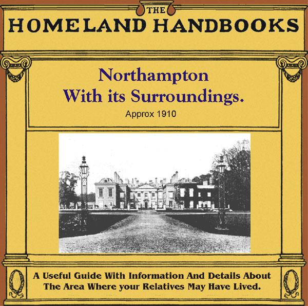
This guide provides invaluable background information on Northampton with its surroundings in the 1900's. This official council guide has maps, photographs and illustrations. It covers the history, traditions, worthies, antiquities and literary associations. This is a useful guide with information and details about the area where your relatives may have lived. *Digitally enhanced images of the original text *Includes maps, photographs and illustrations *Bookmarked by major headings *Fully p More Info
Can't find what you're looking for? Try using our filter system to narrow down your search.
Available through our sister site GenFair
EU/Overseas membership of Northamptonshire FHS - with email journal - 5 year subscription
**For persons living outside the UK only**.
EU/Overseas membership of Northamptonshire FHS - with printed journal - 5 year subscription
**For persons living outside the UK only**.
NORTHAMPTONSHIRE 1787
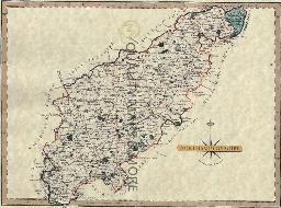
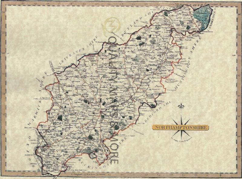
A QUALITY A3 SIZE COLOUR REPRODUCTION FROM JOHN CARY'S 1787 ATLAS WITH DETAILS OF THE COUNTY OVERLEAF. LASER PRINTER ON GOOD QUALITY CARTRIDGE PAPER. SENT FOLDED IN A PLASTIC DISPLAY SLEEVE IN A STIFF CARD ENVELOPE AT THE LARGE LETTER RATE. SCALES VARY
Northamptonshire (The King's England)
Arthur Mee's classic pre-WW2 guide to the region's settlements including churches and castles and other historic places – 'County of spires and stately homes' – with 275 places and 172 pictures.