UK Maps Collection


A collection of over 100 maps covering England, Scotland, Ireland and Wales. These high resolution maps can show you how place-names and counties differed from the present day. Contains various printable maps showing towns, counties, and countries in the UK from as early as 1660. More Info
Product Code: GRD36
The Phillimore Atlas and Index of Parish Registers - Hardback Book Special Offer
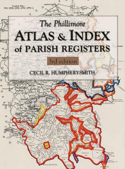
This guide to parish registers, now in its third edition, and covering England, Scotland and Wales, is a vital, time-saving tool that has become universally known as 'the genealogist's bible'. The Atlas includes the famous county 'parish' maps, which show pre-1832 parochial boundaries, colour-coded probate jurisdictions, starting dates of surviving registers, and churches and chapels, where relevant. Topographical maps face each 'parish' map, and show the contemporary road system and other... More Info
The Genealogists' Atlas Of Lancashire Circa. 1930 Free UK P&P
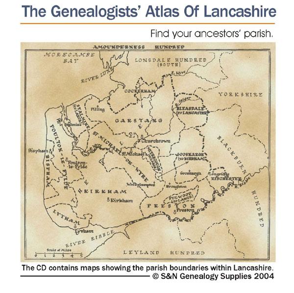
This CD is fully bookmarked and allows you to search through the parishes to help find your ancestors' parish. It contains maps of parishes and townships and lists of non-parochial registers.... More Info
Suffolk, The Homeland Handbooks - Bury St. Edmund's, with its Surroundings - 1907 Ordnance Map Special Offer Free UK P&P
This guide provides invaluable background information on Bury St. Edmund's, with its Surroundings in the 1900's. This official council guide has maps, photographs and illustrations. It covers the history, traditions, worthies, antiquities and literary associations. This CD is a useful guide with information and details about the area where your relatives may have lived. *Digitally enchanced images of the original text *Includes maps, photographs and illustrations *Searchable by whole or pa... More Info
Surrey, The Homeland Handbooks - Haslemere and Hindhead - The Hill Country of the Surrey Borderland. Ordnance Map (Approx 1918) Special Offer
This guide provides invaluable background information on Haslemere and Hindhead in the 1900's. This official council guide has maps, photographs and illustrations. It covers the history, traditions, worthies, antiquities and literary associations. This is a useful guide with information and details about the area where your relatives may have lived. *Digitally enhanced images of the original text * Includes maps, photographs and illustrations * Bookmarked by major headings *Fully printable... More Info
The National Gazetteer of Great Britain and Ireland for 1868 Special Offer
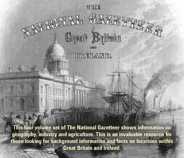
This four volume set of The National Gazetteer shows information on geography, industry and agriculture. This is an invaluable resource for those looking for background information and facts on locations within Great Britain and Ireland. *Digitally enhanced images of the original text *Searchable *Includes colour maps *Bookmarked alphabetically *Fully printable... More Info
Surrey, The Homeland Handbooks - Guildford 1904 Special Offer
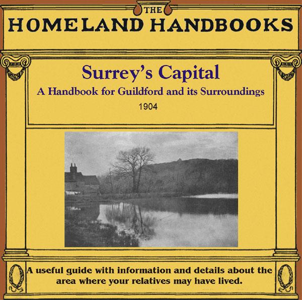
This guide provides invaluable background information on Guildford in the 1900s. This official council guide has maps, photographs and illustrations. It covers the town's history, traditions, worthies, antiquities and literary associations. This CD is a useful guide with information and details about the area where your relatives may have lived. *Digitally enchanced images of the original text *Includes maps, photographs and illustrations *Searchable by whole or part name *Bookmarked by ... More Info
Yorkshire, Barnsley & Doncaster Area c.1920 Map CD (28 maps)
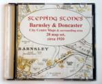
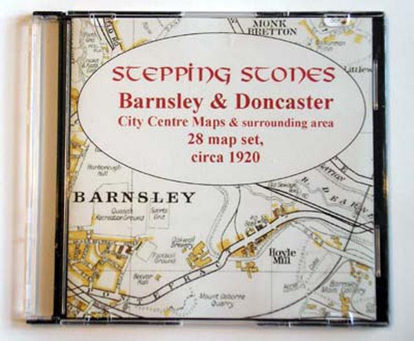
Stepping Stones publication Barnsley and Doncaster Area c.1920 Map CD (28 maps)... More Info
Product Code: SS5080
Yorkshire, Bradford Area c.1920 Map CD (21 maps) Special Offer
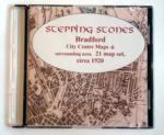
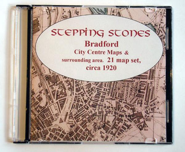
Stepping Stones publication Bradford Area c.1920 Map CD (21 maps)... More Info
Yorkshire, Bradford c.1890-95 Map CD (2 maps) Special Offer
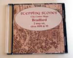
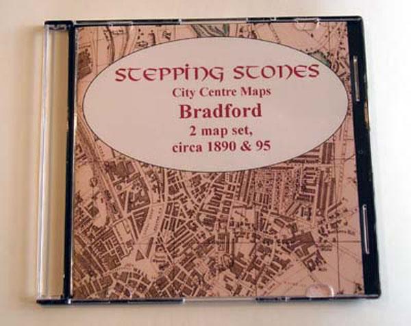
Stepping Stones publication Bradford Map CD (2 maps, c.1890-95)... More Info
Sussex, Brighton c.1895 Map CD Special Offer
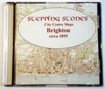
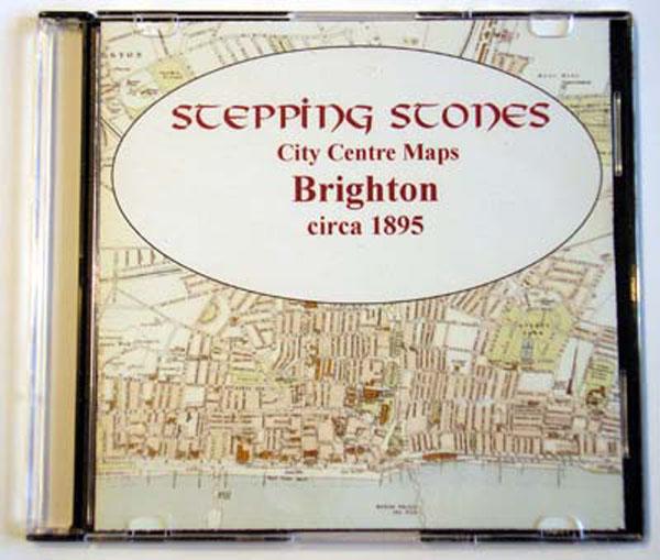
Stepping Stones publication Brighton c.1895 Map CD... More Info
Yorkshire, Halifax Area c.1920 Map CD (21 maps) Special Offer
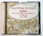
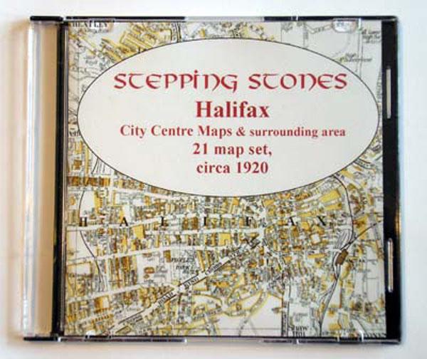
Stepping Stones publication Halifax Area c.1920 Map CD (21 maps)... More Info
Skipton & Harrogate Area c.1920 Map CD (30 maps) Special Offer
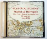

Stepping Stones publication Skipton and Harrogate Area c.1920 Map CD (30 maps)... More Info
Southampton c.1895 Map CD Special Offer
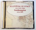
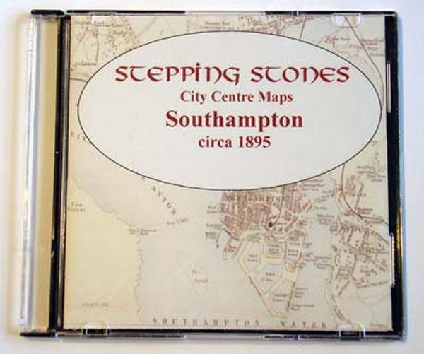
Stepping Stones publication Southampton c.1895 Map CD... More Info

Can't find what you're looking for? Try using our filter system to narrow down your search.