|
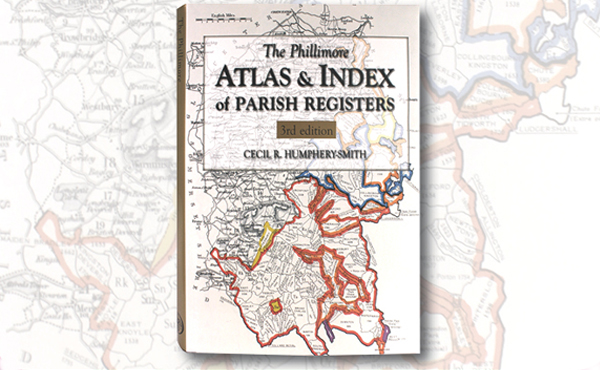
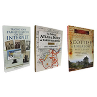
This guide to parish registers, now in its third edition, and covering England,
Scotland and Wales, is a vital, time-saving tool that has become universally
known as 'the genealogist's bible'. The Atlas includes the famous county
'parish' maps, which show pre-1832 parochial boundaries, colour-coded probate
jurisdictions, starting dates of surviving registers, and churches and chapels,
where relevant. The Index lists the parishes, with grid references to the county
maps. It indicates the present whereabouts of original registers and copies, and
whether a parish is included in other indexes. It also gives registration
districts and census information.
|