Search Results for: “Norfolk”
UK Maps Collection


A collection of over 100 maps covering England, Scotland, Ireland and Wales. These high resolution maps can show you how place-names and counties differed from the present day. Contains various printable maps showing towns, counties, and countries in the UK from as early as 1660. More Info
Product Code: GRD36
Can't find what you're looking for? Try using our filter system to narrow down your search.
Available through our sister site GenFair
NORFOLK 1787
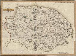
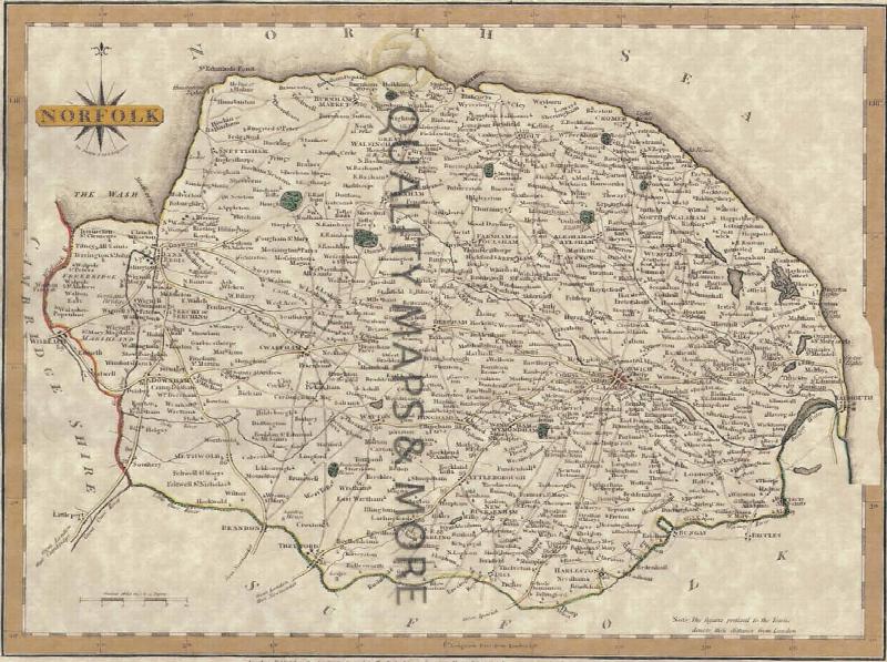
A QUALITY A3 SIZE COLOUR REPRODUCTION FROM JOHN CARY'S 1787 ATLAS WITH DETAILS OF THE COUNTY OVERLEAF. LASER PRINTER ON GOOD QUALITY CARTRIDGE PAPER. SENT FOLDED IN A PLASTIC DISPLAY SLEEVE IN A STIFF CARD ENVELOPE AT THE LARGE LETTER RATE. SCALES VARY
Norfolk (The King's England)
Arthur Mee's classic pre-WW2 guide to the region's settlements including churches and castles and other historic places – 'Green pastures and still waters' – with 502 places and 184 pictures.
Catholic Missions and Registers - The Midlands & East Anglia
By Michael Gandy. Providing details of Roman Catholic churches and missions, on a county-by-county basis, with dates of foundation and the dates and location of their records. This volume covers the counties of Bedfordshire, Buckinghamshire, Cambridgeshire, Derbyshire, Huntingdonshire, Leicestershire, Lincolnshire, Norfolk, Northamptonshire, Nottinghamshire, Oxfordshire, Rutland, Shropshire, Staff...More Info
Lincolnshire Marriage Index 1700-1837 Volume 1
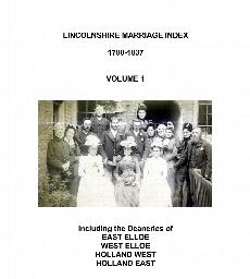
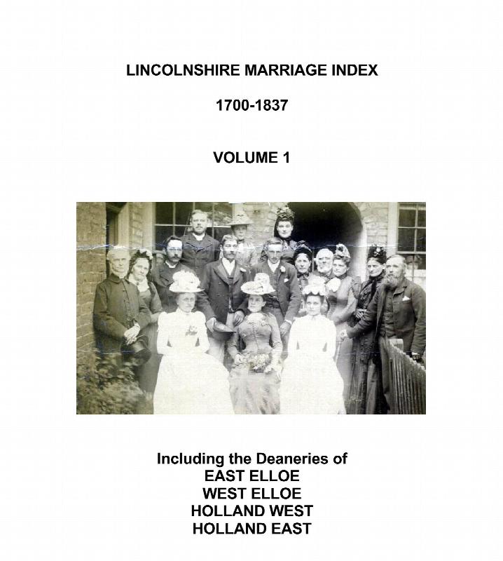
Covers marriages in the Church of England Deaneries of East Elloe, West Elloe, Holland East and Holland West, which are situated in the south-east of the county. Included are the the large parishes of Boston, Spalding & Holbeach. This part of Lincolnshire borders on the counties of Cambridgeshire & Norfolk, and many people from those counties and places further afield are mentioned. Gives full d...More Info
Some Travellers in the 1891 Census - 2
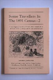

By Janet Keet-Black. Circus, Gypsies, Showmen, Theatre, Travellers, and others - extracted from Durham, Northumberland, Yorkshire, Essex, London, Middlesex, Norfolk. More than 2,000 individuals recorded. Transcribed in "as enumerated" format with a surname index. 60 pages.