Search Results for: “Essex”
UK Maps Collection


A collection of over 100 maps covering England, Scotland, Ireland and Wales. These high resolution maps can show you how place-names and counties differed from the present day. Contains various printable maps showing towns, counties, and countries in the UK from as early as 1660. More Info
Product Code: GRD36
Can't find what you're looking for? Try using our filter system to narrow down your search.
Available through our sister site GenFair
Essex Machine Breakers
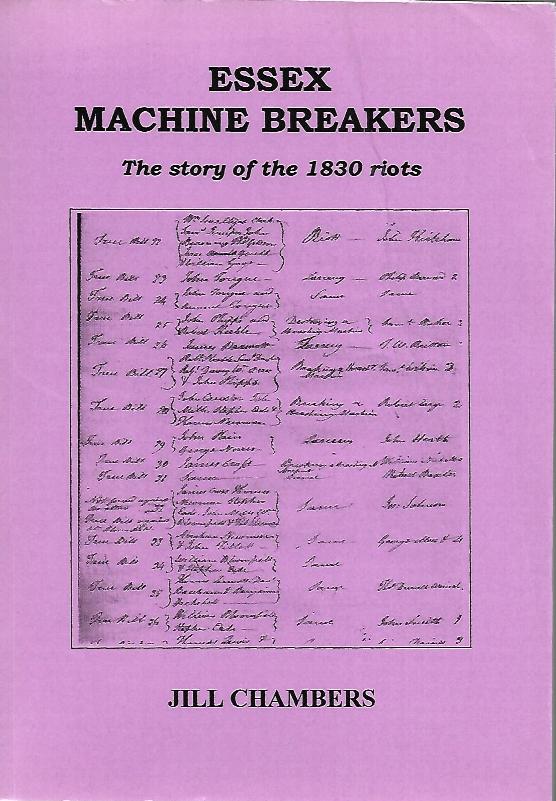
In Essex there were three main areas of disturbance. The first was centred in the north-west corner of the county, close to Suffolk, Cambridgeshire, and Hertfordshire, beginning on the 1st December 1830, and in the main taking the form of simple wages riots. The second centre of disturbance was the area around Colchester, in particular the costal strip between Ramsey and Clacton, and beginning wit...More Info
Essex - The Genealogists Library Guide
Genealogical Sources; History of Essex; Local Histories; Bibliograpyy and Archives; Periodicals; Occupational Information; Parish Registers & other records of births, marriages & deaths; Monumental Inscriptions; Probate Records; Trade Directories Maps & Dialect; Official Lists of Names; Records of National & County Administration; Parochial & Borough Administration; Ecclesiastical Records; Estate ...More Info
ESSEX 1787
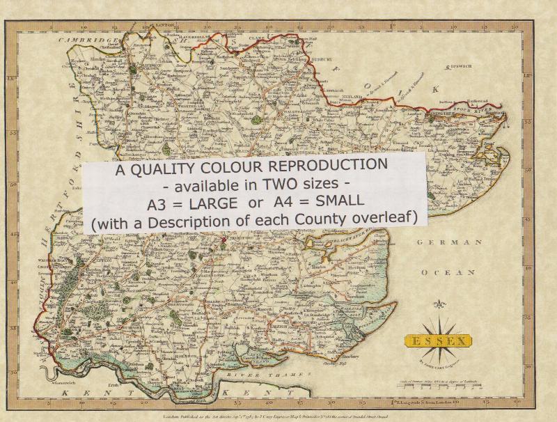
A QUALITY A3 SIZE COLOUR REPRODUCTION FROM JOHN CARY'S 1787 ATLAS WITH DETAILS OF THE COUNTY OVERLEAF. LASER PRINTER ON GOOD QUALITY CARTRIDGE PAPER. SENT FOLDED IN A PLASTIC DISPLAY SLEEVE IN A STIFF CARD ENVELOPE AT THE LARGE LETTER RATE. SCALES VARY
Essex (The King's England)
Arthur Mee's classic pre-WW2 guide to the region's settlements including churches and castles and other historic places – 'London's North Sea neighbour' – with 373 places and 153 pictures.