Search Results for: “Gloucestershire”
UK Maps Collection


A collection of over 100 maps covering England, Scotland, Ireland and Wales. These high resolution maps can show you how place-names and counties differed from the present day. Contains various printable maps showing towns, counties, and countries in the UK from as early as 1660. More Info
Product Code: GRD36
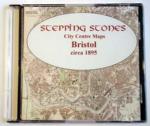
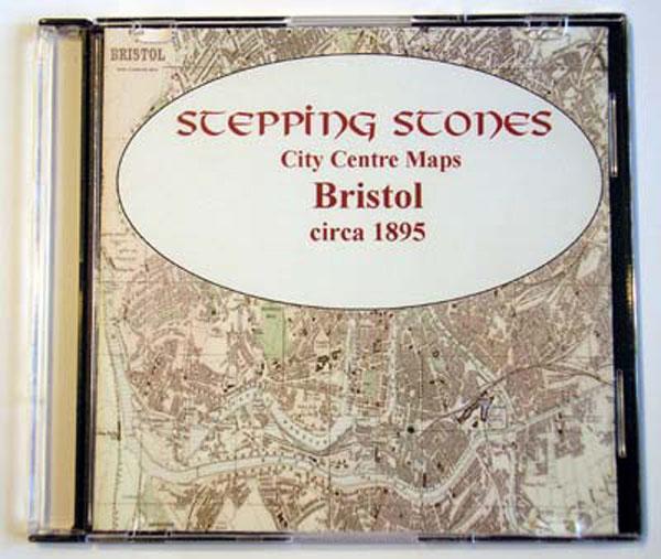
Gloucestershire, Cheltenham c.1890 Map CD Special Offer
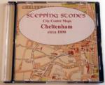
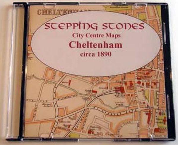
Stepping Stones publication Cheltenham c.1890 Map CD... More Info
Can't find what you're looking for? Try using our filter system to narrow down your search.
Available through our sister site GenFair
Change and continuity east of Tudor Bristol

Kathleen Hapgood 978 1 911592 22 8 Barton Hill, Bromley Heath, Downend, Eastville, Easton, Fishponds, Greenbank, Hillfields, Kingswood, Mangotsfield, Redfield, St George, Speedwell, Soundwell, Stapleton and Whitehall: all today thriving districts of Bristol. But all that area east of old Bristol Castle was countryside in the sixteenth century. Kathleen Hapgood (author of ALHA N...More Info
From Catholic Devotion to Puritan Piety; Responses to the Reformation in the Avon Area 1530 - 1603
Joseph Bettey 978 1 911592 11 2 In 1530, England was an orthodox Catholic country whose King had been proclaimed Defender of the Faith by the Pope. By 1603, it was a fiercely Protestant country, where Catholics were forbidden to worship and the Queen was subject to a papal fatwa. In this book, Dr Bettey traces the various responses of the people in the Avon region as they withstood or ran...More Info
Morning Stars of the Reformation: Early Religious Reformers in the Bristol Region, by Joseph Bettey
978 1 911592 08 2 The original Morning Star of the Reformation was John Wycliffe, whose teaching prefigured much that would become mainstream Protestantism a century later, especially the direct relation of Christian to God through the words of the Bible and not through priests. Despite repression, his followers, known as Lollards, remained active in the South West until overtaken or subsum...More Info