The discount code 'ED450' has been added to your basket, the following items are included in the offer (any discounts will be applied at the basket):
1898 Royal Atlas of England and Wales (edited by J.G. Bartholomew)
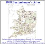
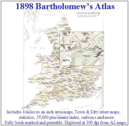
A complete series of topographical maps, physical and statistical charts, town plans, and index of 35,000 names (England and Wales - includes City street maps showing locations no longer in existence through development and bombing in World War II).... More Info
Liverpool Street Map c.1890
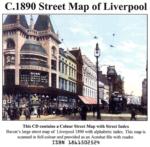
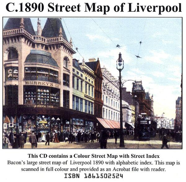
Liverpool colour street map with street index (Originally published by Bacon, c.1890).... More Info
London Colour Street Map with Index
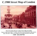
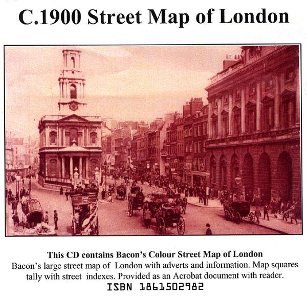
Bacon's large-print map of London and Suburbs circa 1900. Extending from Hampton Court to Greenwich and Highgate to Crystal Palace. Scanned in full colour with alphabetical index, provided as an Acrobat file with reader.... More Info
Suffolk, The Homeland Handbooks - Bury St. Edmund's, with its Surroundings - 1907 Ordnance Map Special Offer
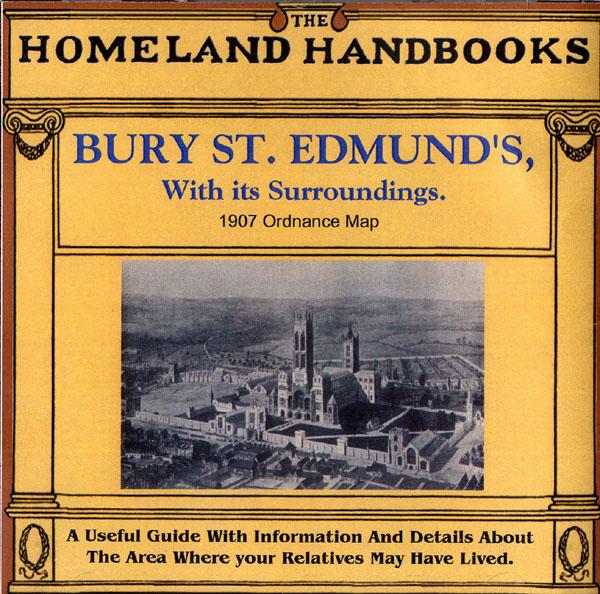
This guide provides invaluable background information on Bury St. Edmund's, with its Surroundings in the 1900's. This official council guide has maps, photographs and illustrations. It covers the history, traditions, worthies, antiquities and literary associations. This CD is a useful guide with information and details about the area where your relatives may have lived. *Digitally enchanced images of the original text *Includes maps, photographs and illustrations *Searchable by whole or pa... More Info
Channel Islands, The Homeland Handbooks - Part 1 Guernsey, Sark, Alderney & Herm - Ordnance Map for 1933 (approx) Special Offer
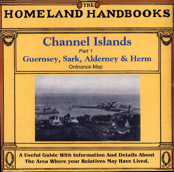
This guide provides invaluable background information on Channel Islands Part 1 Guernsey, Sark, Alderney and Herm in the 1900's. This official council guide has maps, photographs and illustrations. It covers the history, traditions, worthies, antiquities and literary associations. This CD is a useful guide with information and details about the area where your relatives may have lived. *Digitally enchanced images of the original text *Includes maps, photographs and illustrations *Searchab... More Info
Devon, The Homeland Handbooks - Lynton, Lynmouth and the Lorna Doone Country - Ordnance Map c1900 Special Offer
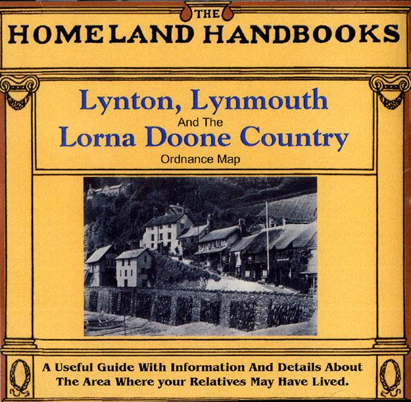
This guide provides invaluable background information on Lynton, Lynmouth and the Lorna Doone Country in the 1900's. This official council guide has maps, photographs and illustrations. It covers the history, traditions, worthies, antiquities and literary associations. This CD is a useful guide with information and details about the area where your relatives may have lived. *Digitally enchanced images of the original text *Includes maps, photographs and illustrations *Searchable by who... More Info
Bartholomew's Handy Reference Atlas of London & Suburbs 1930 on CD
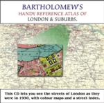
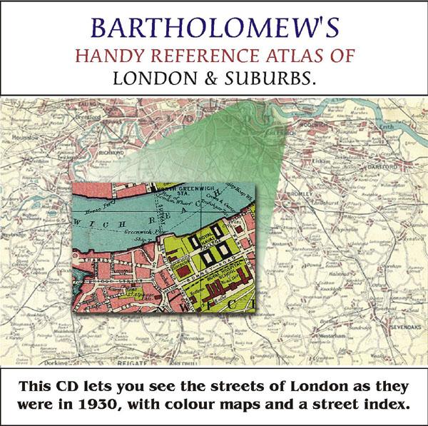
Bartholomew's Handy Reference Atlas of London and Suburbs Walk the streets of London as they were in 1930. *Digitally enchanced images of the original text *Includes full colour maps *Searchable by whole or part name *Bookmarked by major headings *Fully printable... More Info
Cassell's Gazetteer of Great Britain and Ireland for the year 1893 Special Offer
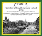
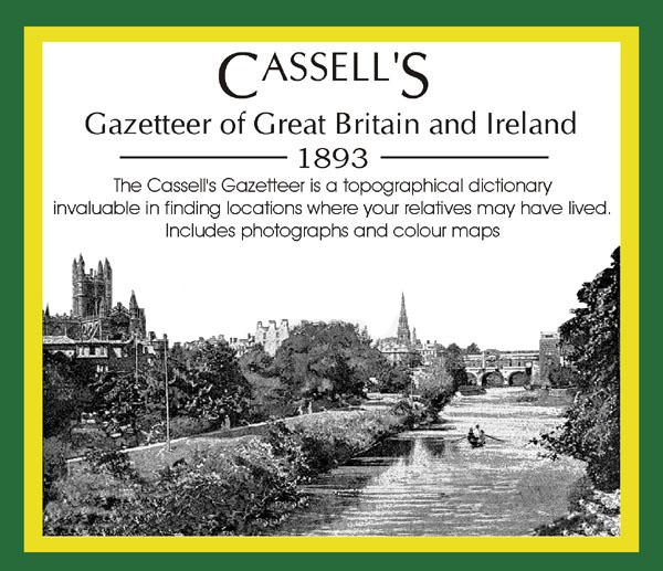
This set contains listings for all counties, cities, towns, villages (with population) and has detailed information on history, geography, architecture, agriculture or industry. Cassell's Gazetteer is a topographical dictionary invaluable in finding locations where your relatives may have lived. It includes photographs and colour maps for reference. *Digitally enhanced images of the original text *Includes photographs and maps *Bookmarked alphabetically *Fully printable... More Info
Surrey, The Homeland Handbooks - Haslemere and Hindhead - The Hill Country of the Surrey Borderland. Ordnance Map (Approx 1918) Special Offer
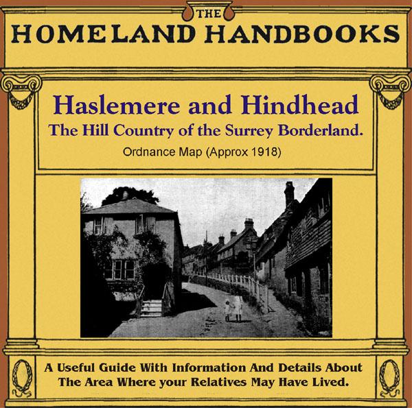
This guide provides invaluable background information on Haslemere and Hindhead in the 1900's. This official council guide has maps, photographs and illustrations. It covers the history, traditions, worthies, antiquities and literary associations. This is a useful guide with information and details about the area where your relatives may have lived. *Digitally enhanced images of the original text * Includes maps, photographs and illustrations * Bookmarked by major headings *Fully printable... More Info
Cambridgeshire, The Homeland Handbooks - Huntingdon and The Great Ouse with St. Neots and St. Ives (1905 Ordnance Map)
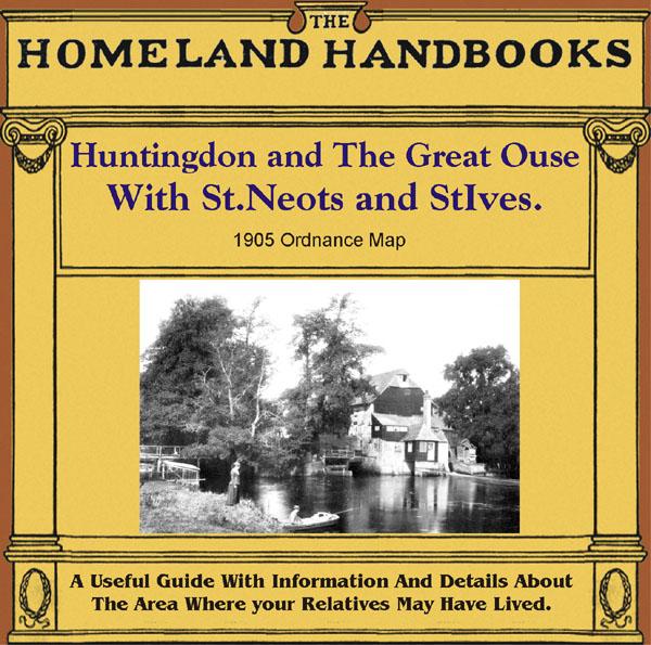
This guide provides invaluable background information on Huntingdon and The Great Ouse with St. Neots and St. Ives in the 1900's. This official council guide has maps, photographs and illustrations. It covers the history, traditions, worthies, antiquities and literary associations. This is a useful guide with information and details about the area where your relatives may have lived. *Digitally enhanced images of the original text *Includes maps, photographs and illustrations *Bookmarked by m... More Info
Greater London Atlas - Map CD
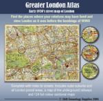
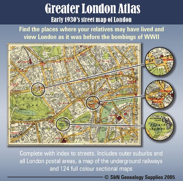
Early 1930s street map of London on CD-ROM. Find the places where your relatives may have lived and view London as it was before the bombings of WWll. Complete with indexes to streets. Includes outer suburbs and all London postal areas, a map of the underground railways and 124 full colour sectional maps. * Digitally enhanced images of original text * Bookmarked index * Fully printable * Full Colour... More Info
A Map of XVII Century England Special Offer
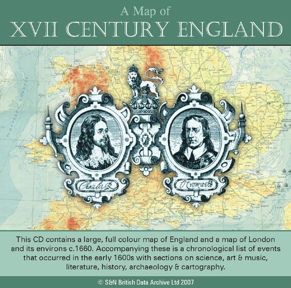
This CD contains a large, full colour map of England and a map of London and its environs c.1660. Accompanying these is a chronological list of events that occurred in the early 1600s with sections on science, art and music, literature, history, archaeology and cartography. *Digitally enhanced images of the original text *Searchable text *Bookmarked by major headings *Fully printable *Includes large full colour map *Contains over 25 pages... More Info
London, Philips' A.B.C. Pocket Atlas-Guide to London (c.1915) Special Offer
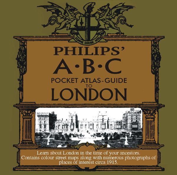
Learn about London in the time of your ancestors. Contains colour street maps along with numerous photographs of places of interest circa 1915. * Digitally enhanced images of the original text * Searchable text * Bookmarked by major headings * Fully printable... More Info
London, The Wilsonian School Magazine 1914-1919 Special Offer
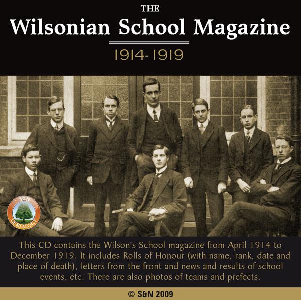
This CD contains the Wilson's School magazine from April 1914 to December 1919. It includes Rolls of Honour (with name, rank, date and place of death), letters from the front and news and results of school events, etc. There are also photos of teams and prefects. *Digitally enhanced images of the original text *Searchable text *Bookmarked by major headings *Fully printable... More Info
London, Handy Map of London (c.1890)
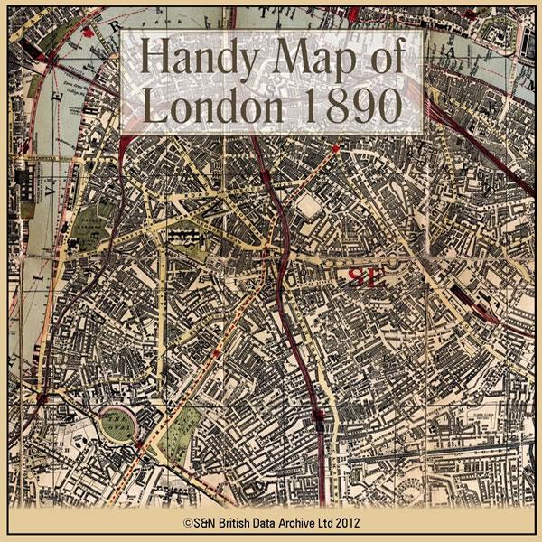
This CD contains a high resolution map of London circa 1890. This is ideal for seeing where your ancestors lived in late Victorian times, and for looking at streets which may no longer exist. The map is highly detailed and includes street names, parks, railways, railway stations, steamer routes, and omnibus and tramway routes. * Digitally enhanced images of the original map * Large colour map * Bookmarked for easy viewing * Fully printable... More Info
Can't find what you're looking for? Try using our filter system to narrow down your search.