Search Results for: “London”
UK Maps Collection


A collection of over 100 maps covering England, Scotland, Ireland and Wales. These high resolution maps can show you how place-names and counties differed from the present day. Contains various printable maps showing towns, counties, and countries in the UK from as early as 1660. More Info
Product Code: GRD36
London Colour Street Map with Index
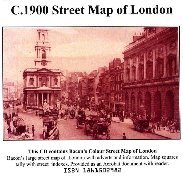
Bacon's large-print map of London and Suburbs circa 1900. Extending from Hampton Court to Greenwich and Highgate to Crystal Palace. Scanned in full colour with alphabetical index, provided as an Acrobat file with reader.... More Info
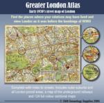
Bartholomew's Handy Reference Atlas of London & Suburbs 1930 on CD
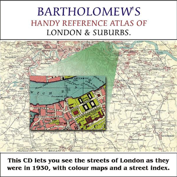
Bartholomew's Handy Reference Atlas of London and Suburbs Walk the streets of London as they were in 1930. *Digitally enchanced images of the original text *Includes full colour maps *Searchable by whole or part name *Bookmarked by major headings *Fully printable... More Info
Greater London Atlas - Map CD
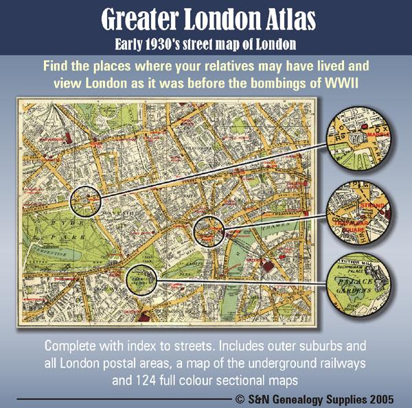
Early 1930s street map of London on CD-ROM. Find the places where your relatives may have lived and view London as it was before the bombings of WWll. Complete with indexes to streets. Includes outer suburbs and all London postal areas, a map of the underground railways and 124 full colour sectional maps. * Digitally enhanced images of original text * Bookmarked index * Fully printable * Full Colour... More Info
A Map of XVII Century England Special Offer
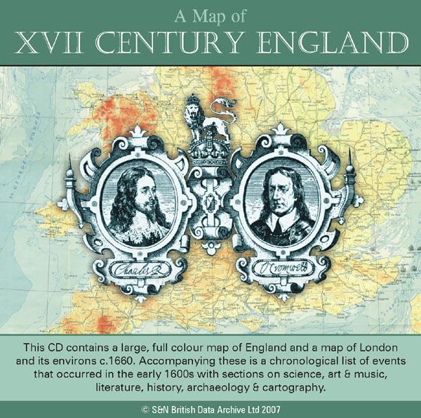
This CD contains a large, full colour map of England and a map of London and its environs c.1660. Accompanying these is a chronological list of events that occurred in the early 1600s with sections on science, art and music, literature, history, archaeology and cartography. *Digitally enhanced images of the original text *Searchable text *Bookmarked by major headings *Fully printable *Includes large full colour map *Contains over 25 pages... More Info
London, Philips' A.B.C. Pocket Atlas-Guide to London (c.1915) Special Offer
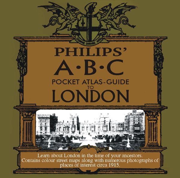
Learn about London in the time of your ancestors. Contains colour street maps along with numerous photographs of places of interest circa 1915. * Digitally enhanced images of the original text * Searchable text * Bookmarked by major headings * Fully printable... More Info
London Map CD (18 maps c. 1920 & other info) Special Offer
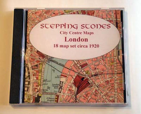
Stepping Stones CD publication. Full set of 18 Maps plus general statistical information about London detailing population and chronology. *Alphabetical guide to the chief places of interest and amusement*Foreign consulates in London*Addresses of principal shipping companies*Hotels and restaurants*Maps and plans of theatres, electric railways, St Paul's Cathedral, Westminster Abbey and The Tower... More Info
10 Miles Round London in 1746 - Map CD
John Rocque's five and a half inch to the mile map of 1746 with an index of more than 2,800 street and place names linked to large scale images of the map. PC and Mac compatible.... More Info
Product Code: MSC5632
London, The Wilsonian School Magazine 1914-1919 Special Offer

This CD contains the Wilson's School magazine from April 1914 to December 1919. It includes Rolls of Honour (with name, rank, date and place of death), letters from the front and news and results of school events, etc. There are also photos of teams and prefects. *Digitally enhanced images of the original text *Searchable text *Bookmarked by major headings *Fully printable... More Info
London, Handy Map of London (c.1890)
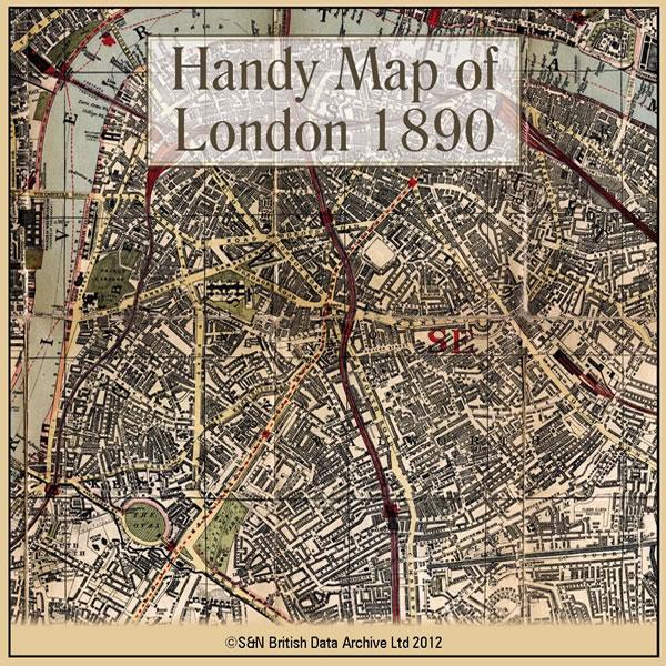
This CD contains a high resolution map of London circa 1890. This is ideal for seeing where your ancestors lived in late Victorian times, and for looking at streets which may no longer exist. The map is highly detailed and includes street names, parks, railways, railway stations, steamer routes, and omnibus and tramway routes. * Digitally enhanced images of the original map * Large colour map * Bookmarked for easy viewing * Fully printable... More Info
Product Code: GRD6105
Can't find what you're looking for? Try using our filter system to narrow down your search.
Available through our sister site GenFair
CD 27 Index to a Collection of Middlesex Baptisms (not in the IGI).Jan 2012
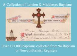
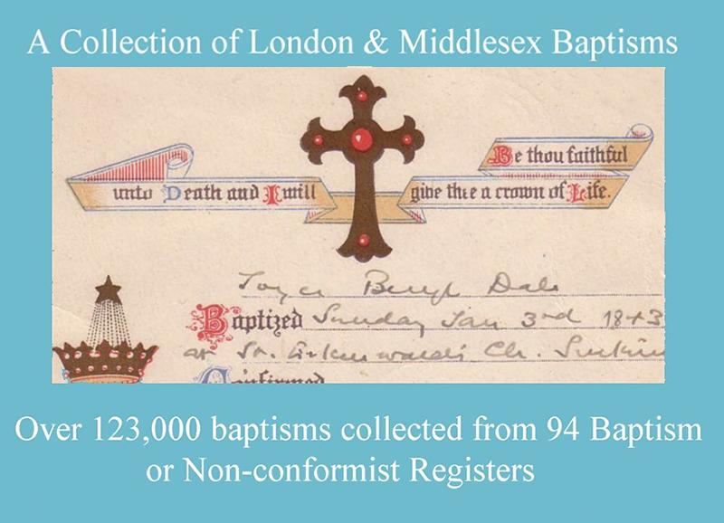
Over 123,000 baptisms collected from 94 Baptism or Non-conformist registers. The following places are included, but for some there are only a small number of records: Acton 1539–1689/90 (2167) Acton All Saints South Acton 1872-76 (649) Ashford 1699-1710 & 1760-1876 (1449) Bethnal Green Virginia Congregational Chapel 1825-37 (24) Chelsea Christ Church 1839-1876 (79) ...More Info
RA 39. Books and Articles About London & Middlesex Places, including Metropolitan Surrey (Revised and expanded).
3rd edition 2006, compiled by Cliff Webb.who writes in the introduction: It is already extremely difficult for a researcher to know what has been written about his subject and area.Nobody can know from the title that "The Best of All Possible Worlds" describes a childhood in Streatham. Where I have been able to identify them, I have given in square brackets a brief description of some of the books...More Info
RA 15. Guide to Genealogical Research in Late Victorian and Edwardian London
Revised 5th edition, November 2004) d This is a supplement to RA6, listing parishes founded in the 1870-1903 period. It also covers a wider area than RA6, extending to the whole of the old LCC district, and listing those outer parishes in the same way as RA6 does for the inner ones. It also has a map of parish boundaries for 1903.This new edition also includes a new appendix designed to help one l...More Info