Search Results for: “Berkshire”
UK Maps Collection


A collection of over 100 maps covering England, Scotland, Ireland and Wales. These high resolution maps can show you how place-names and counties differed from the present day. Contains various printable maps showing towns, counties, and countries in the UK from as early as 1660. More Info
Product Code: GRD36
Can't find what you're looking for? Try using our filter system to narrow down your search.
Available through our sister site GenFair
Educating the Ilsleys
by Eric Saxton - a history of education in the Ilsleys (East and West), including both private and public education spanning 200 years.
In the Name of God, Amen - transcripts of 190 East Ilsley wills (1504-1877) [CD]
by Eric Saxton. A summary of all the executors, beneficiaries and witnesses is provided for each of the wills, together with a full transcript. A total of 27 wills pre-date the parish registers of the village. Includes a full name index to all of the people mentioed in the wills.
"A Drunken Worthless Creature" - notes on parishioners, 1831
by Kay Sanderson. A series of notes on the parishioners of East Ilsley, compiled for an incoming rector in 1831. The notes are candid pen-portraits and often disparaging - particularly on their drinking habits! Includes a map and terrier of the village centre.
The history and architecture of St. Mary's church, East Ilsley
A summary of the history of this church and the main architectural features, with details of its 17th century clock and its bells.
PS90 Compleat Parish Officer 1734
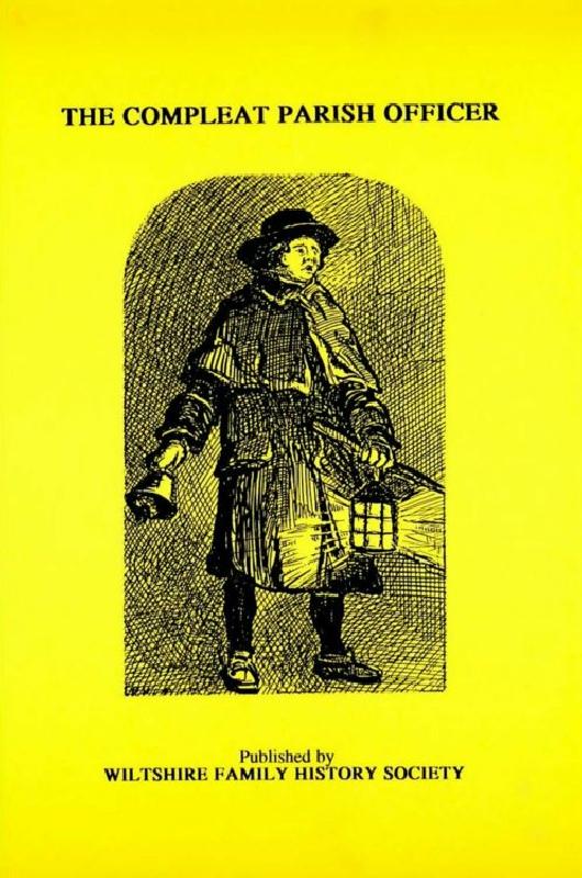
Reprint of a guide for parish officers to deal with complex poor laws and social problems. A5 104p