Search Results for: “Ireland”
UK Maps Collection


A collection of over 100 maps covering England, Scotland, Ireland and Wales. These high resolution maps can show you how place-names and counties differed from the present day. Contains various printable maps showing towns, counties, and countries in the UK from as early as 1660. More Info
Product Code: GRD36
Cassell's Gazetteer of Great Britain and Ireland for the year 1893 Special Offer
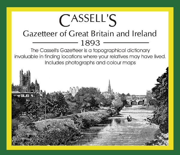
This set contains listings for all counties, cities, towns, villages (with population) and has detailed information on history, geography, architecture, agriculture or industry. Cassell's Gazetteer is a topographical dictionary invaluable in finding locations where your relatives may have lived. It includes photographs and colour maps for reference. *Digitally enhanced images of the original text *Includes photographs and maps *Bookmarked alphabetically *Fully printable... More Info
The National Gazetteer of Great Britain and Ireland for 1868 Special Offer
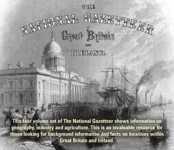
This four volume set of The National Gazetteer shows information on geography, industry and agriculture. This is an invaluable resource for those looking for background information and facts on locations within Great Britain and Ireland. *Digitally enhanced images of the original text *Searchable *Includes colour maps *Bookmarked alphabetically *Fully printable... More Info
Product Code: SS5081
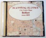
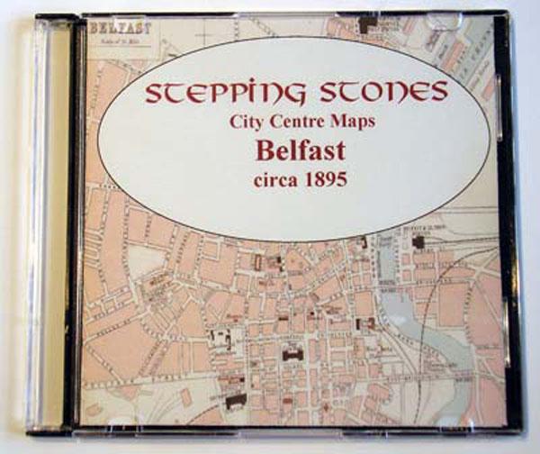
Ireland, Cork c.1895 Map CD Special Offer
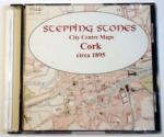
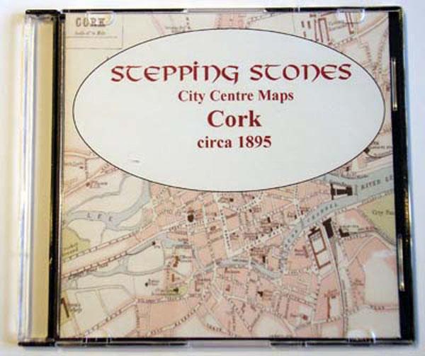
Stepping Stones publication Cork c.1895 Map CD... More Info
Ireland, Dublin Map CD (2 maps, c.1884-99) Special Offer
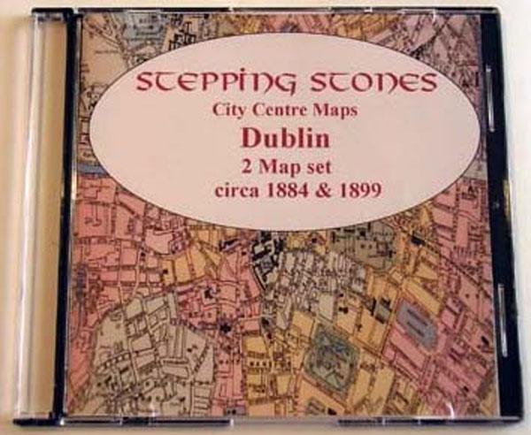
Stepping Stones publication Dublin Map CD (2 maps, c.1884-99)... More Info
Bacon's Atlas of the British Isles 1881
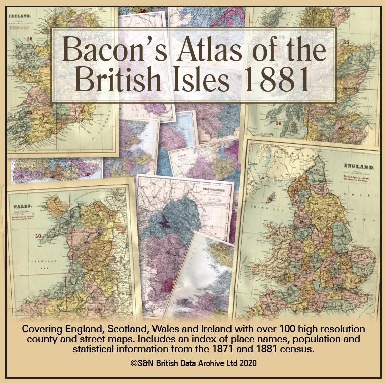
This virtual DVD resource covers England, Scotland, Wales and Ireland with over 100 high-resolution county and street maps. Includes an index of place names, population and statistical information from the 1871 and 1881 census.... More Info
Product Code: GRD6768
Can't find what you're looking for? Try using our filter system to narrow down your search.
Available through our sister site GenFair
Ordnance Survey Memoirs of Ireland, Vol 40: South Ulster, 1834-8
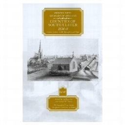
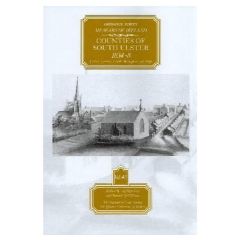
After just under 10 years the Ordnance Survey Memoir team has completed this major 40 volume series with the fascinating volume on the five counties in and along the southern reaches of the Province of Ulster, a large area stretching from Sligo and Leitrim in the west and as far as Louth in the east, with Cavan and Monaghan, particularly the latter, have the best coverage. Prominent themes are the...More Info
Our Tangled Speech: Essays on Language and Culture
People are rarely neutral about the Irish language. In Northern Ireland it is a topic which usually creates more heat than light. While attitudes have softened somewhat over the years, polarised views about the language are remarkably persistent. Historic and contemporary efforts to maintain the language have had varied success, but the key goal of creating new sustainable language communities, wh...More Info
The Life of Sir Denis Henry: Catholic Unionist
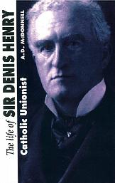
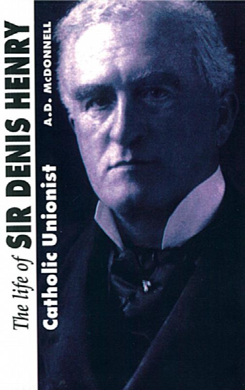
Denis Stanislaus Henry (1864-1925) occupies a unique place in the political and legal history of Northern Ireland politics. As a catholic, Henry supported the Union from the time of Gladstone's first Home Rule Bill of 1886, and after joining the Ulster Unionist Council upon its formation in 1905, unsuccessfully contested the North Tyrone constituency in 1906 and 1907, losing by the narrow margins ...More Info
Researching Armagh Ancestors - A Practical Guide for the Family and Local Historian
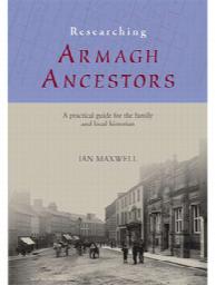
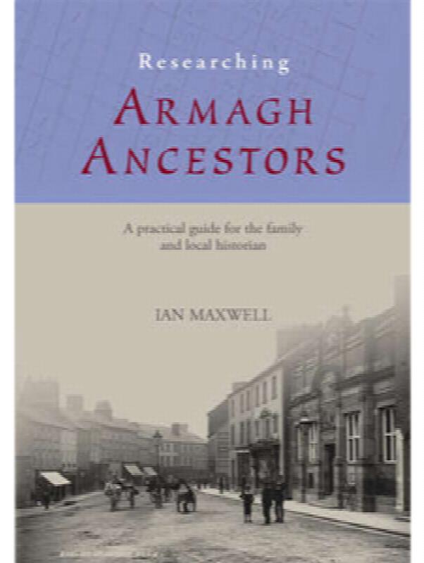
Armagh the smallest county in Northern Ireland, has a rich, colourful and even tempestuous history. War, famine and emigration over the last four centuries have all contributed to forming the distinctive character of its people. The constant struggle bewtween Planter and Gael that has characterised the county since the Plantation in the early 17th century may be seen in, form example the almost eq...More Info
The Scottish Migration to Ulster in the Reign of James I

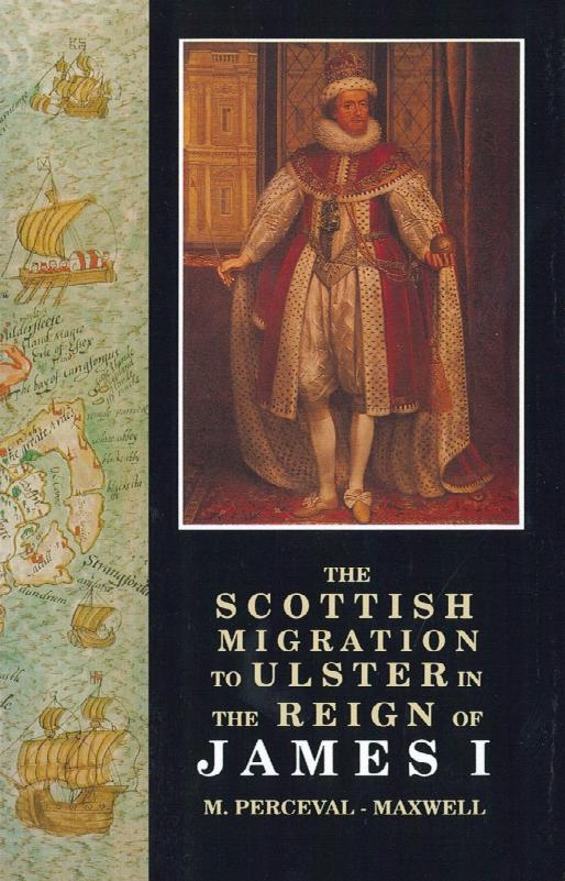
This book by M. Perceval-Maxwell was first published in 1973, yet it continues to be one of the most significant works of scholarship on the Plantation of Ulster. This book describes in detail the initial establishment of settlement in Ireland's northern province over a comparitively short space of time, that is from 1603 to 1625. Dr Perceval-Maxwell examines the society that produced the Scottish...More Info