Search Results for: “London”
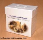
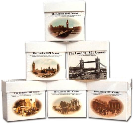
London 1891 Census (DVD) Special Offer
This is the original Census information digitised from silver high quality microfilm and scanned in greyscale to provide the best possible images. Supplied as PDF documents with Street and Area Indexes. Coverage includes: Paddington - Kensington - Fulham - Chelsea - Hanover Square - Westminster - Marylbone - Hampstead - Pancras - Islington - Hackney - St Giles - Strand - Holborn - London City - Shoreditch - Bethnal Green - Whitechapel - St George in East - Stepney - Mile End Old Town - Poplar - More Info
London 1901 Census Special Offer

This is the original Census information digitised from silver high quality microfilm and scanned in greyscale to provide the best possible images. Supplied as PDF documents with Street and Area Indexes. Coverage includes: Paddington - Kensington - Fulham - Chelsea - Hanover Square - Westminster - Marylbone - Hampstead - Pancras - Islington - Hackney - St Giles - Strand - Holborn - London City - Shoreditch - Bethnal Green - Whitechapel - St George in East - Stepney - Mile End Old Town - Poplar - More Info
London 1871 Census Special Offer

This is the original Census information digitised from silver high quality microfilm and scanned in greyscale to provide the best possible images. Supplied as PDF documents with Street and Area Indexes. Coverage includes: Paddington - Kensington - Fulham - Chelsea - Hanover Square - Westminster - Marylbone - Hampstead - Pancras - Islington - Hackney - St Giles - Strand - Holborn - London City - Shoreditch - Bethnal Green - Whitechapel - St George in East - Stepney - Mile End Old Town - Poplar - More Info
London 1861 Census Special Offer
This is the original Census information digitised from silver high quality microfilm and scanned in greyscale to provide the best possible images. Supplied as PDF documents with Street and Area Indexes. Coverage includes: Paddington - Kensington - Fulham - Chelsea - Hanover Square - Westminster - Marylbone - Hampstead - Pancras - Islington - Hackney - St Giles - Strand - Holborn - London City - Shoreditch - Bethnal Green - Whitechapel - St George in East - Stepney - Mile End Old Town - Poplar - More Info
London 1851 Census Special Offer
This is the original Census information digitised from silver high quality microfilm and scanned in greyscale to provide the best possible images. Supplied as PDF documents with Street and Area Indexes. Coverage includes: Paddington - Kensington - Fulham - Chelsea - Hanover Square - Westminster - Marylbone - Hampstead - Pancras - Islington - Hackney - St Giles - Strand - Holborn - London City - Shoreditch - Bethnal Green - Whitechapel - St George in East - Stepney - Mile End Old Town - Poplar - More Info
London 1841 Census Special Offer

This is the original Census information digitised from silver high quality microfilm and scanned in greyscale to provide the best possible images. Supplied as PDF documents with Street and Area Indexes. Coverage includes: Paddington - Kensington - Fulham - Chelsea - Hanover Square - Westminster - Marylbone - Hampstead - Pancras - Islington - Hackney - St Giles - Strand - Holborn - London City - Shoreditch - Bethnal Green - Whitechapel - St George in East - Stepney - Mile End Old Town - Poplar - More Info
London Census Bundle - 1841, 1851, 1861, 1871 and 1891 Special Offer
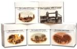
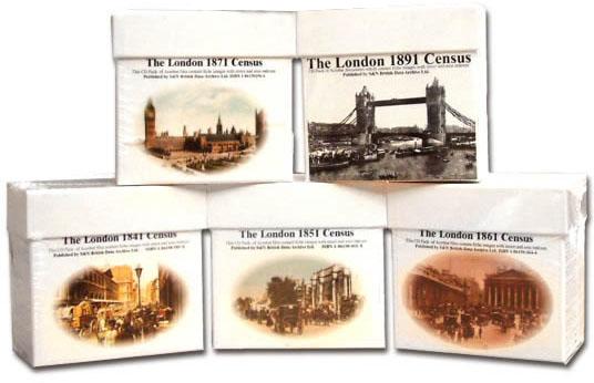
The London census bundle contains the sets for the years 1841,1851,1861,1871,and 1891. Each set consists of a pack of PDF documents which contain census page images indexed by street and area.... More Info
London Census Bundle - 1841, 1851, 1861 and 1871 Special Offer

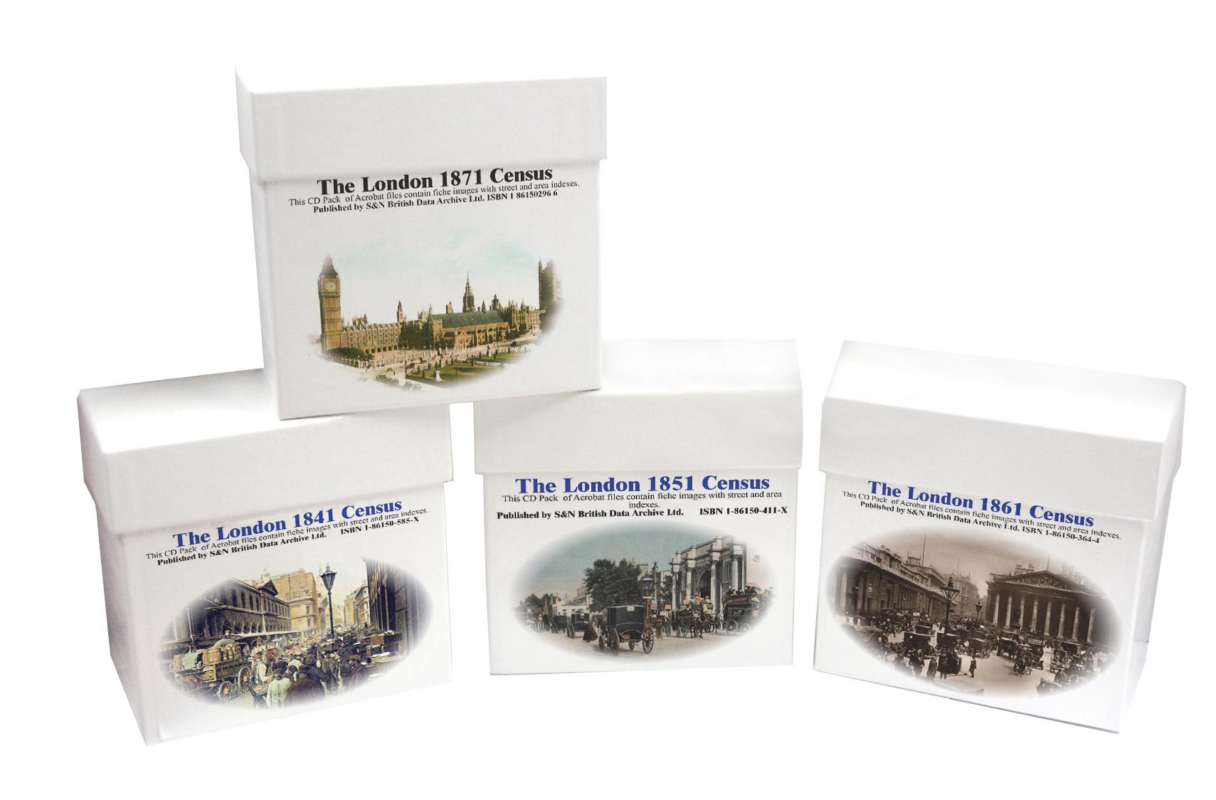
The London Census bundle contains the sets for the years 1841,1851,1861 and 1871. Each set consists of a pack of PDF documents which contain census page images indexed by street and area.... More Info
London 1881 Census (CD)
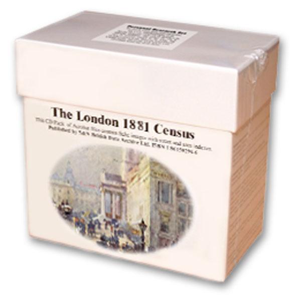
This is the original Census information digitised from silver high quality microfilm and scanned in greyscale to provide the best possible images. Supplied as PDF documents with Street and Area Indexes. Coverage includes: Paddington - Kensington - Fulham - Chelsea - Hanover Square - Westminster - Marylbone - Hampstead - Pancras - Islington - Hackney - St Giles - Strand - Holborn - London City - Shoreditch - Bethnal Green - Whitechapel - St George in East - Stepney - Mile End Old Town - Poplar - More Info
Product Code: CEN3247
London Census Bundle - 1841, 1851, 1861, 1871, 1891 and 1901 Special Offer
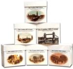
The London census bundle contains the sets for the years 1841, 1851, 1861, 1871, 1891 and 1901. Each set consists of a pack of PDF documents which contain census page images indexed by street and area.... More Info
Can't find what you're looking for? Try using our filter system to narrow down your search.
Available through our sister site GenFair
RA36 A Guide To London And Middlesex Genealogy And Records
((6th edition, March 2007), by Cliff Webb. This new edition has been expanded to include references to websites and URLs as well as the sources included in the previous editions of the Guide. With 12 more pages than the last edition published in 2005, we are pleased to be able to offer it at the same price as the 5th edition. 68 pages. A5.
RA 02. Pre-1837 Parish Boundaries in Suburban London
This A3-size map (folded to A5) compliments the county parish maps produced by the Institute of Heraldic and Genealogical Studies, Canterbury. The main use is in planning a search pattern if an ancestor does not turn up in the expected parish. 3rd edition (1996). Map.
RA 38. A guide to London and Middlesex Manorial Records
(2nd edition September 2006) compiled by Cliff Webb. Completely revised and updated, this edition runs to another 20 pages of information. 36 pages, A5
CD 21 AN INDEX TO THE ASSOCIATION OATH ROLLS for the CITY OF LONDON, 1696. Nov 2010
First published in 2006 in book form as RS 40 (compiled by Cliff Webb) and including nearly 22,000 names.‘The rolls are a very useful inhabitants’ list and seem to survive fairly complete mainly in class C213 in the National Archives, Kew’.
London (The King's England)
Arthur Mee's classic pre-WW2 guide to the region's settlements including churches and castles and other historic places – 'Heart of the British empire and wonder of the world' – with 200 pictures.