Search Results for: “Map”
1898 Royal Atlas of England and Wales (edited by J.G. Bartholomew)
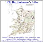
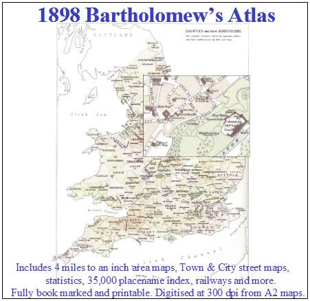
A complete series of topographical maps, physical and statistical charts, town plans, and index of 35,000 names (England and Wales - includes City street maps showing locations no longer in existence through development and bombing in World War II).... More Info
The Genealogists' Atlas Of Lancashire Circa. 1930
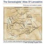
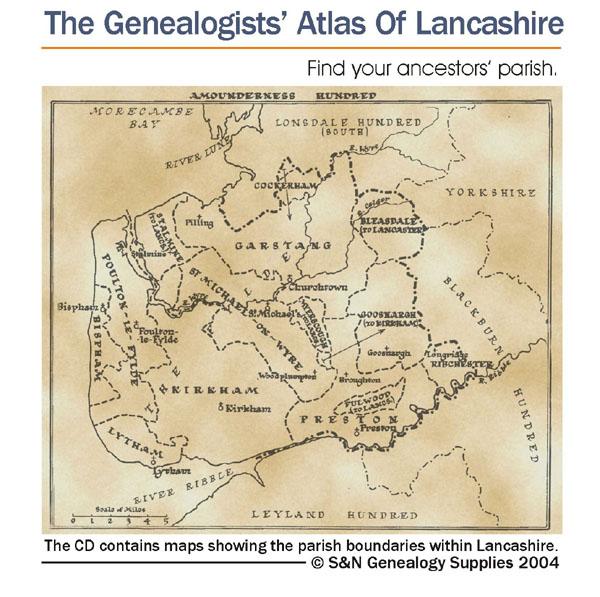
This CD is fully bookmarked and allows you to search through the parishes to help find your ancestors' parish. It contains maps of parishes and townships and lists of non-parochial registers.... More Info
Bartholomew's Handy Reference Atlas of London & Suburbs 1930 on CD
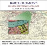
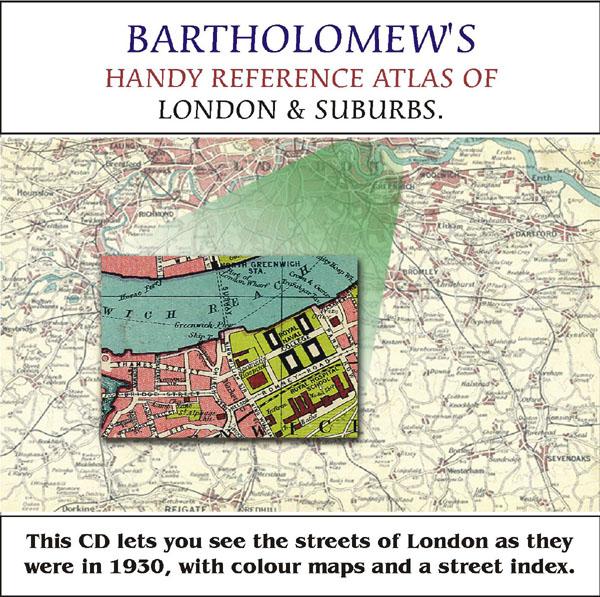
Bartholomew's Handy Reference Atlas of London and Suburbs Walk the streets of London as they were in 1930. *Digitally enchanced images of the original text *Includes full colour maps *Searchable by whole or part name *Bookmarked by major headings *Fully printable... More Info
Cassell's Gazetteer of Great Britain and Ireland for the year 1893 Special Offer
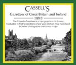
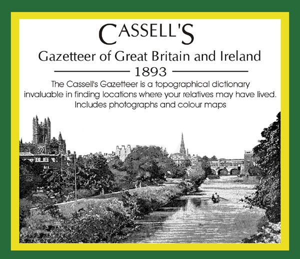
This set contains listings for all counties, cities, towns, villages (with population) and has detailed information on history, geography, architecture, agriculture or industry. Cassell's Gazetteer is a topographical dictionary invaluable in finding locations where your relatives may have lived. It includes photographs and colour maps for reference. *Digitally enhanced images of the original text *Includes photographs and maps *Bookmarked alphabetically *Fully printable... More Info
The National Gazetteer of Great Britain and Ireland for 1868
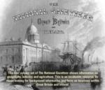
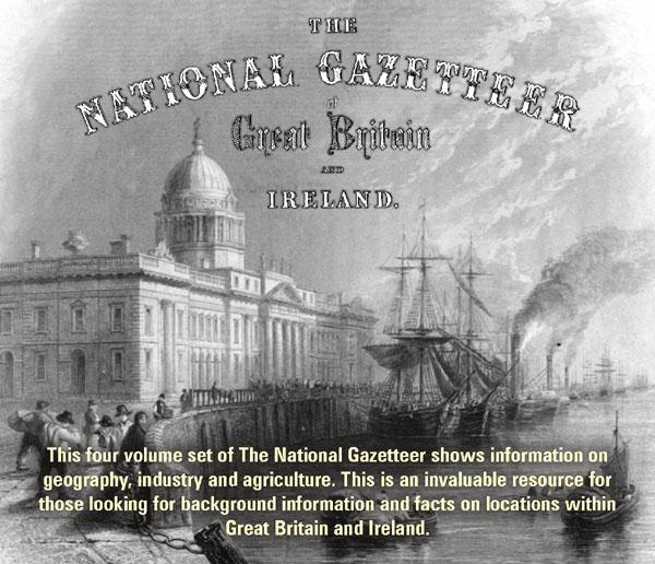
This four volume set of The National Gazetteer shows information on geography, industry and agriculture. This is an invaluable resource for those looking for background information and facts on locations within Great Britain and Ireland. *Digitally enhanced images of the original text *Searchable *Includes colour maps *Bookmarked alphabetically *Fully printable... More Info
London, Philips' A.B.C. Pocket Atlas-Guide to London (c.1915) Special Offer
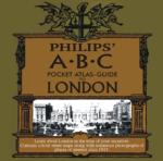
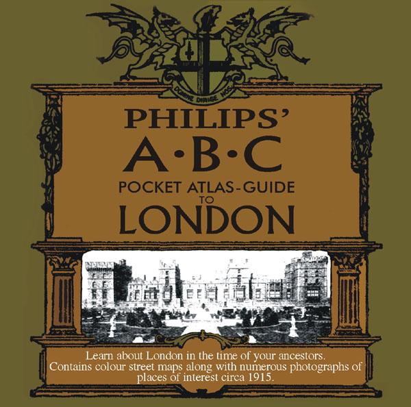
Learn about London in the time of your ancestors. Contains colour street maps along with numerous photographs of places of interest circa 1915. * Digitally enhanced images of the original text * Searchable text * Bookmarked by major headings * Fully printable... More Info
Skipton & Harrogate Area c.1920 Map CD (30 maps)
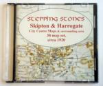

Stepping Stones publication Skipton and Harrogate Area c.1920 Map CD (30 maps)... More Info
Yorkshire, Wakefield Area c.1920 Map CD (24 maps)
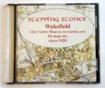
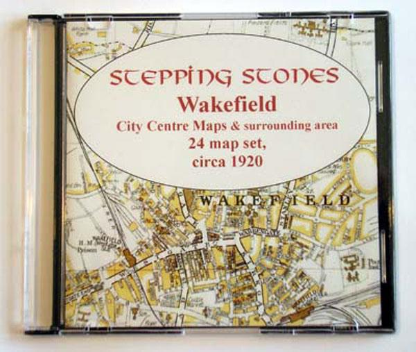
Stepping Stones publication Wakefield Area c.1920 Map CD (24 maps)... More Info

London, The Wilsonian School Magazine 1914-1919 Special Offer


This CD contains the Wilson's School magazine from April 1914 to December 1919. It includes Rolls of Honour (with name, rank, date and place of death), letters from the front and news and results of school events, etc. There are also photos of teams and prefects. *Digitally enhanced images of the original text *Searchable text *Bookmarked by major headings *Fully printable... More Info
Map My Family Tree
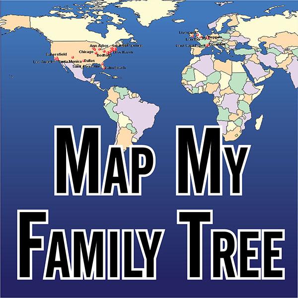
Map My Family Tree automatically geocodes your family history tree in seconds, so you can see where your ancestors were born, married and died. Extensive selection and formatting options provide unlimited customization of family maps. Show single family lines, births only, events from a specific time period, and much more on maps of any color or size - including wall maps. More Info
Product Code: SW6703
Bacon's Atlas of the British Isles 1881
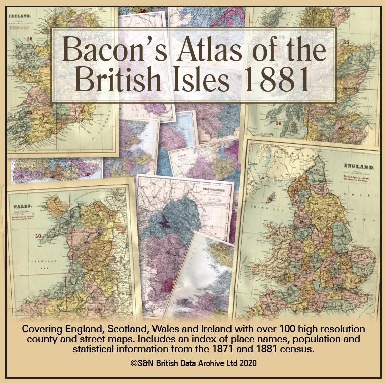
This virtual DVD resource covers England, Scotland, Wales and Ireland with over 100 high-resolution county and street maps. Includes an index of place names, population and statistical information from the 1871 and 1881 census.... More Info
Product Code: GRD6768
Can't find what you're looking for? Try using our filter system to narrow down your search.
Filter
Category
County
-
Devon (7)
Dorset (3)
Durham (2)
England (5)
Essex (4)
Gloucestershire (7)
Hampshire (5)
Herefordshire (1)
Hertfordshire (4)
Huntingdonshire (4)
Ireland (6)
Kent (2)
Lancashire (6)
Leicestershire (4)
Lincolnshire (3)
London (14)
Middlesex (2)
Non-UK (1)
Norfolk (6)
Northamptonshire (2)
Northumberland (5)
Nottinghamshire (5)
Oxfordshire (3)
Rutland (5)
Scotland (10)
Shropshire (3)
Somerset (5)
Staffordshire (3)
Suffolk (8)
Surrey (3)
Sussex (5)
Wales (3)
Warwickshire (5)
Westmorland (1)
Wiltshire (2)
Worcestershire (2)
Yorkshire (20)