Search Results for: “Map”
Liverpool Street Map c.1890
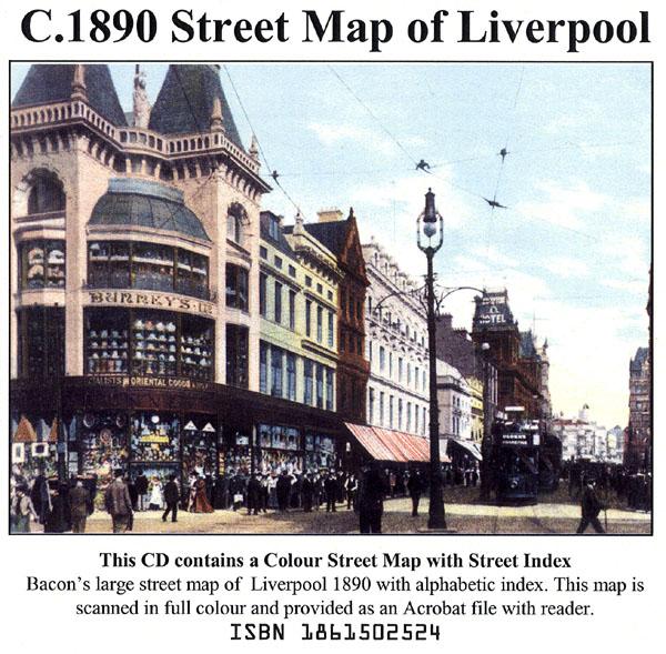
Liverpool colour street map with street index (Originally published by Bacon, c.1890).... More Info
The Genealogists' Atlas Of Lancashire Circa. 1930
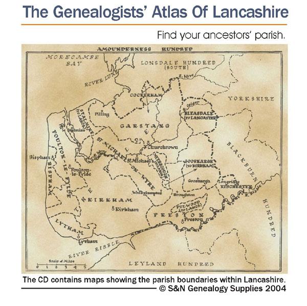
This CD is fully bookmarked and allows you to search through the parishes to help find your ancestors' parish. It contains maps of parishes and townships and lists of non-parochial registers.... More Info
Lancashire, Seed's Southport & District 1927-28 Directory Special Offer
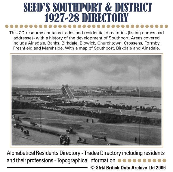
This CD resource contains trades and residential directories (listing names and addresses) with a history of the development of Southport. Areas covered include Ainsdale, Banks, Birkdale, Blowick, Churchtown, Crossens, Formby, Freshfield and Marshside. With map of Southport, Birkdale and Ainsdale. * Digitally enhanced images of the original text * Searchable text * Bookmarked by major headings * Fully printable... More Info
Lancashire, Blackpool c.1897 Map CD Special Offer
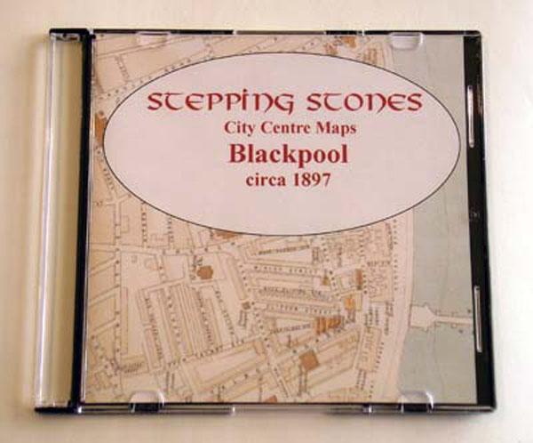
Stepping Stones publication Blackpool c.1897 Map CD... More Info
Liverpool Map CD (2 maps, c.1890-95)
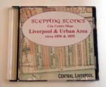
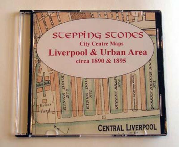
Stepping Stones publication Liverpool Map CD (2 maps, c.1890-95)... More Info

Can't find what you're looking for? Try using our filter system to narrow down your search.
Available through our sister site GenFair
An Historic Map of Wotton-under–Edge


This A4 size coloured map is based on the 1882 Ordnance Survey map of the town at 25 inches to the mile. The map has been annotated with information on some of the historic buildings, people and facts. As well as being of interest in itself it makes an ideal gift when visiting relatives and friends abroad.
Buckinghamshire Parish Map A3 size
Map for marking off places researched - ample room for name entry [sent in tube]
Chesham Town; Tithe Map 1844
map with plot numbers, with a booklet list and index of all househoilders and what they owned. [sent in tube]
Filter
Category
County
-
Devon (0)
Dorset (0)
Durham (0)
England (0)
Essex (0)
Gloucestershire (0)
Hampshire (0)
Herefordshire (0)
Hertfordshire (0)
Huntingdonshire (0)
Ireland (0)
Kent (0)
Lancashire (6)
Leicestershire (0)
Lincolnshire (0)
London (0)
Middlesex (0)
Non-UK (0)
Norfolk (0)
Northamptonshire (0)
Northumberland (0)
Nottinghamshire (0)
Oxfordshire (0)
Rutland (0)
Scotland (0)
Shropshire (0)
Somerset (0)
Staffordshire (0)
Suffolk (0)
Surrey (0)
Sussex (0)
Wales (0)
Warwickshire (0)
Westmorland (0)
Wiltshire (0)
Worcestershire (0)
Yorkshire (0)