Search Results for: “Map”
London Colour Street Map with Index
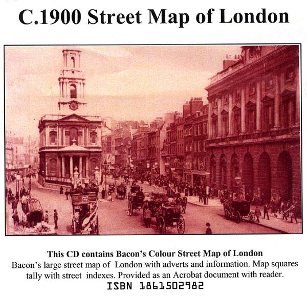
Bacon's large-print map of London and Suburbs circa 1900. Extending from Hampton Court to Greenwich and Highgate to Crystal Palace. Scanned in full colour with alphabetical index, provided as an Acrobat file with reader.... More Info
Bartholomew's Handy Reference Atlas of London & Suburbs 1930 on CD
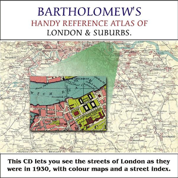
Bartholomew's Handy Reference Atlas of London and Suburbs Walk the streets of London as they were in 1930. *Digitally enchanced images of the original text *Includes full colour maps *Searchable by whole or part name *Bookmarked by major headings *Fully printable... More Info
Greater London Atlas - Map CD
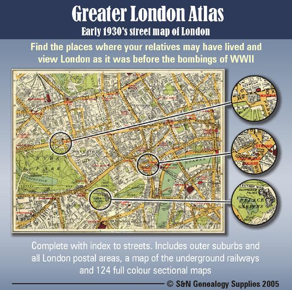
Early 1930s street map of London on CD-ROM. Find the places where your relatives may have lived and view London as it was before the bombings of WWll. Complete with indexes to streets. Includes outer suburbs and all London postal areas, a map of the underground railways and 124 full colour sectional maps. * Digitally enhanced images of original text * Bookmarked index * Fully printable * Full Colour... More Info
London, Baedeker's London and its Environs 1911 Special Offer
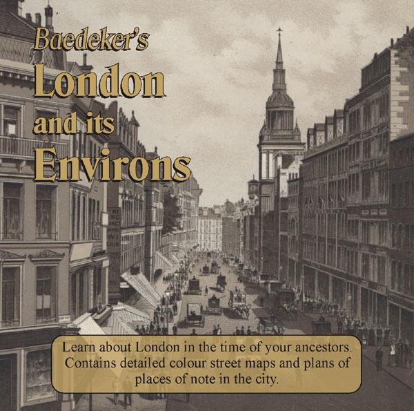
Learn about London in the time of your ancestors. Delve into London at the beginning of the 20th century. Published in 1911 this CD contains intricate colour maps and plans of places of note in the city. There is also practical advice for travellers alongside descriptions of all of the tourist attractions in London at that time. * Digitally enhanced images of the original text * Searchable text * Bookmarked by major heading * Fully printable * Includes colour maps... More Info
London 1916 - Directory
This London directory comprises comprehensive trade directories and detailed maps of the city, with a referenced alphabetical street guide. * Digitally enhanced images of the original text * Searchable text * Bookmarked by major headings * Fully printable * 7 Detailed maps... More Info
London, Westminster Wills, Indexes to the Ancient Testamentary Records Special Offer
An index to wills, administrations and testamentary records for Westminster. These are a valuable source of genealogical information. They can give details of family members, places of residence and burial as well as revealing details about their possessions. Includes: Testamentary records of the peculiar court of Westminster 1504-1700 Westminster wills and administrations 1540-1556 Testamentary records of Westminster Abbey 1228-1700 * Digitally enhanced images of the original text * Sea... More Info
London 1910 Post Office Directory
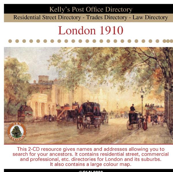
This 2-CD resource gives names and addresses allowing you to search for your ancestors. It contains residential street, commercial and professional, etc. directories for London and its suburbs. It also contains information about the principal seats, council, magistrates, and a large colour map. *Digitally enhanced images of the original text *Searchable text *Bookmarked by major headings *Fully printable... More Info
London, Philips' A.B.C. Pocket Atlas-Guide to London (c.1915) Special Offer
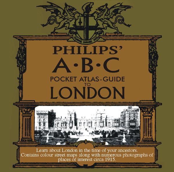
Learn about London in the time of your ancestors. Contains colour street maps along with numerous photographs of places of interest circa 1915. * Digitally enhanced images of the original text * Searchable text * Bookmarked by major headings * Fully printable... More Info
London Map CD (18 maps c. 1920 & other info)
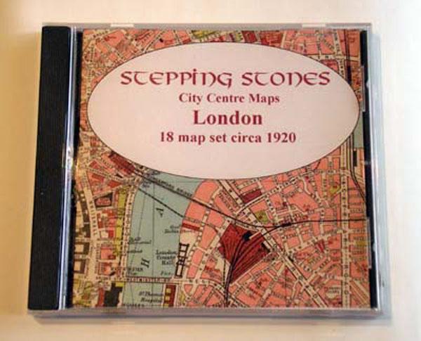
Stepping Stones CD publication. Full set of 18 Maps plus general statistical information about London detailing population and chronology. *Alphabetical guide to the chief places of interest and amusement*Foreign consulates in London*Addresses of principal shipping companies*Hotels and restaurants*Maps and plans of theatres, electric railways, St Paul's Cathedral, Westminster Abbey and The Tower... More Info
10 Miles Round London in 1746 - Map CD
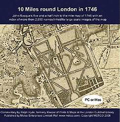
John Rocque's five and a half inch to the mile map of 1746 with an index of more than 2,800 street and place names linked to large scale images of the map. PC and Mac compatible.... More Info
Product Code: MSC5632
London, Boyle's Court Guide 1888 Special Offer
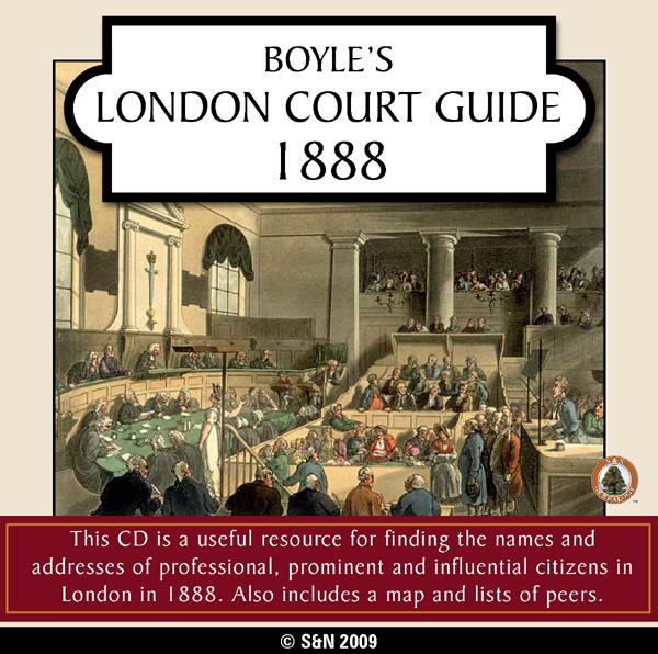
This CD is a useful resource for finding the names and addresses of professional, prominent and influential citizens in London in 1888. Also includes a map and lists of peers. *Digitally enhanced images of the original text *Searchable text *Bookmarked by major headings *Fully printable... More Info
London, Kelly's Royal Blue Book 1939 Special Offer

Kelly's Royal Blue Book - Court and Parliamentary Guide has a street directory, an alphabetical directory, and a trades and professional directory, giving names and addresses of "the better class private residents" in London. It also includes a map of the Western Districts of London. *Digitally enhanced images of the original text *Searchable text *Bookmarked by major headings *Fully printable... More Info
London, The Wilsonian School Magazine 1914-1919 Special Offer

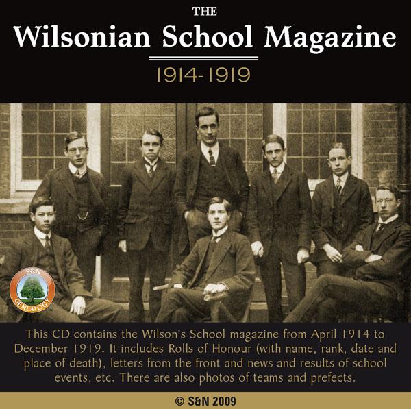
This CD contains the Wilson's School magazine from April 1914 to December 1919. It includes Rolls of Honour (with name, rank, date and place of death), letters from the front and news and results of school events, etc. There are also photos of teams and prefects. *Digitally enhanced images of the original text *Searchable text *Bookmarked by major headings *Fully printable... More Info
London, Handy Map of London (c.1890)
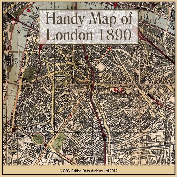
This CD contains a high resolution map of London circa 1890. This is ideal for seeing where your ancestors lived in late Victorian times, and for looking at streets which may no longer exist. The map is highly detailed and includes street names, parks, railways, railway stations, steamer routes, and omnibus and tramway routes. * Digitally enhanced images of the original map * Large colour map * Bookmarked for easy viewing * Fully printable More Info
Can't find what you're looking for? Try using our filter system to narrow down your search.
Available through our sister site GenFair
An Historic Map of Wotton-under–Edge


This A4 size coloured map is based on the 1882 Ordnance Survey map of the town at 25 inches to the mile. The map has been annotated with information on some of the historic buildings, people and facts. As well as being of interest in itself it makes an ideal gift when visiting relatives and friends abroad.
Buckinghamshire Parish Map A3 size
Map for marking off places researched - ample room for name entry [sent in tube]
Chesham Town; Tithe Map 1844
map with plot numbers, with a booklet list and index of all househoilders and what they owned. [sent in tube]
Filter
Category
County
-
Devon (0)
Dorset (0)
Durham (0)
England (0)
Essex (0)
Gloucestershire (0)
Hampshire (0)
Herefordshire (0)
Hertfordshire (0)
Huntingdonshire (0)
Ireland (0)
Kent (0)
Lancashire (0)
Leicestershire (0)
Lincolnshire (0)
London (14)
Middlesex (0)
Non-UK (0)
Norfolk (0)
Northamptonshire (0)
Northumberland (0)
Nottinghamshire (0)
Oxfordshire (0)
Rutland (0)
Scotland (0)
Shropshire (0)
Somerset (0)
Staffordshire (0)
Suffolk (0)
Surrey (0)
Sussex (0)
Wales (0)
Warwickshire (0)
Westmorland (0)
Wiltshire (0)
Worcestershire (0)
Yorkshire (0)