Search Results for: “Map”
Durham, Northumberland, Westmorland & Cumberland Kelly's 1894 Directory Special Offer
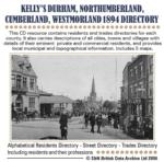
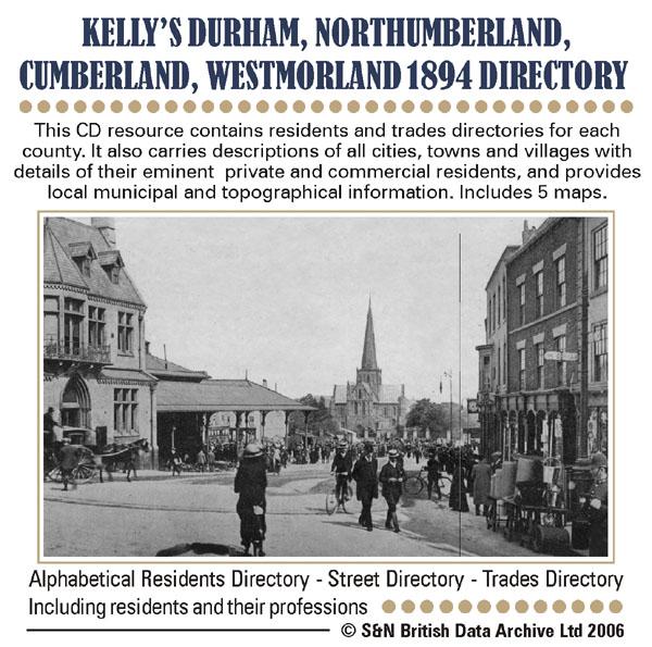
This CD resource contains residents and trades directories for counties Durham, Northumberland, Westmorland and Cumberland in 1894. It carries descriptions of all cities, towns and villages with details of their eminent private and commercial residents, and provides local municipal and topographical information. Includes 5 maps. * Digitally enhanced images of the original text * Includes maps * Searchable text * Bookmarked by major headings * Fully printable... More Info
Newcastle & Gateshead c.1890 Map CD
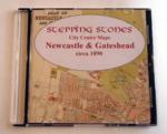
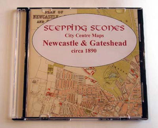
Stepping Stones publication Newcastle and Gateshead c.1890 Map CD... More Info
Northumberland Fusiliers 17th and 32nd Battalions Pioneers 1914-1919 Special Offer

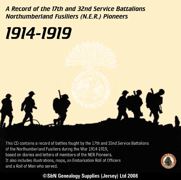
This CD contains a record of battles fought by the 17th and 32nd Service Battalions of the Northumberland Fusiliers during the War of 1914-1919, based on diaries and letters of members of the NER Pioneers. It also includes illustrations, maps, an Embarkation Roll of Officers and a Roll of Men who served. * Digitally enhanced images of the original text * Searchable text * Bookmarked by major headings * Fully printable... More Info
Northumberland, Historical Records of the 19th Service Battalion Northumberland Fusiliers 1914-1918
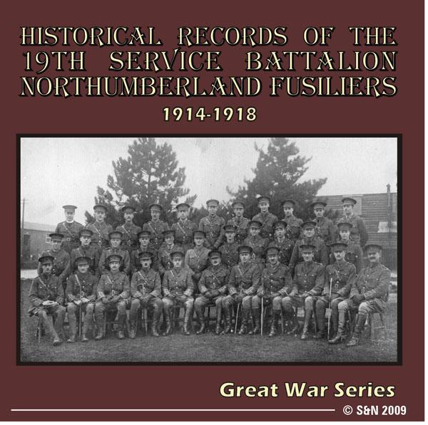
This CD contains a list of soldiers who were attached to the 19th Battalion. Details include name, rank, number and company. Also includes a roll of honour, honours and awards, lists of officers (and other ranks), a record of the battalions movements from 1914-1918 and numerous photos and maps. *Digitally enhanced images of the original text *Fully searchable *Bookmarked by major headings *Fully printable... More Info
Northumberland, Kelly's 1897 Directory
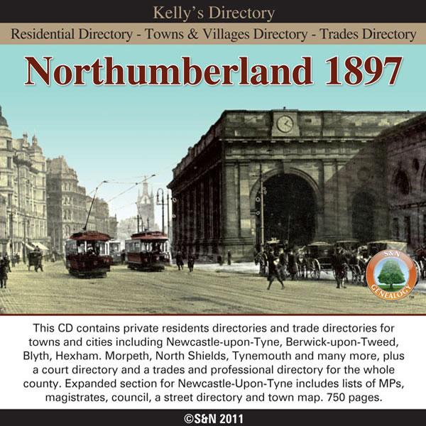
This CD contains private residents directories and trade directories for towns and cities including Newcastle-upon-Tyne, Berwick-upon-Tweed, Blyth, Hexham. Morpeth, North Shields, Tynemouth and many more, plus a court directory and a trades and professional directory for the whole county. Expanded section for Newcastle-Upon-Tyne includes lists of MPs, magistrates, council, a street directory and town map. *Digitally enhanced images of the original text *Searchable text *Bookmarked by major More Info
Can't find what you're looking for? Try using our filter system to narrow down your search.
Available through our sister site GenFair
An Historic Map of Wotton-under–Edge


This A4 size coloured map is based on the 1882 Ordnance Survey map of the town at 25 inches to the mile. The map has been annotated with information on some of the historic buildings, people and facts. As well as being of interest in itself it makes an ideal gift when visiting relatives and friends abroad.
Buckinghamshire Parish Map A3 size
Map for marking off places researched - ample room for name entry [sent in tube]
Chesham Town; Tithe Map 1844
map with plot numbers, with a booklet list and index of all househoilders and what they owned. [sent in tube]
Filter
Category
County
-
Devon (0)
Dorset (0)
Durham (1)
England (0)
Essex (0)
Gloucestershire (0)
Hampshire (0)
Herefordshire (0)
Hertfordshire (0)
Huntingdonshire (0)
Ireland (0)
Kent (0)
Lancashire (0)
Leicestershire (0)
Lincolnshire (0)
London (0)
Middlesex (0)
Non-UK (0)
Norfolk (0)
Northamptonshire (0)
Northumberland (5)
Nottinghamshire (0)
Oxfordshire (0)
Rutland (0)
Scotland (0)
Shropshire (0)
Somerset (0)
Staffordshire (0)
Suffolk (0)
Surrey (0)
Sussex (0)
Wales (0)
Warwickshire (0)
Westmorland (1)
Wiltshire (0)
Worcestershire (0)
Yorkshire (0)