Search Results for: “Map”
Nottinghamshire Phillimore Parish Records (Marriages) Volumes 01 to 22 on one CD
Nottinghamshire Phillimore Parish Records Volume 1 to 22 on one CD Annesley 1599-1812; Arnold 1546-1812; Askham 1538-1837; Attenborough 1560-1812; Averham 1538-1837; Awsworth 1756-1812; Balderton 1538-1812; Barnby 1593-1812; Barton in Fabis 1558-1812; Basford 1568-1812; Beckingham 1618-1837; Beeston 1558-1812; Bilborough 1569-1812; Bilsthorpe 1654-1837; Bingham 1598-1812; Bleasby 1573-1837; Blidworth 1566-1837; Boughton 1685-1837; Bramcote 1562-1812; Broughton Sulney 1571-1812; Bulwell 1635-... More Info
Product Code: PRS441
Derbyshire, Nottinghamshire, Leicestershire and Rutland 1912 Kelly's Directory Special Offer

A virtual book CD-ROM for easy browsing, this Kelly's directory gives an effective overview of the public life of Derbyshire,Nottinghamshire, Leicestershire and Rutland in 1912. It lists eminent residents and local businesses, and carries historical and topographical descriptions of all towns, villages and parishes, information on local courts, churches, agriculture and landowners. This bundle of directories is invaluable to those interested in building up a picture of contemporary lives, and an... More Info
Derbyshire, Nottinghamshire, Leicestershire & Rutland Kelly's 1925 Directory
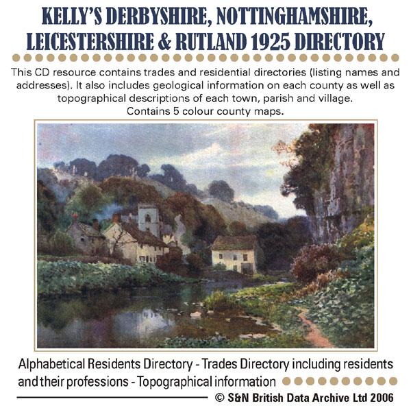
This CD resource contains trades and residential directories (listing names and addresses) with detailed information on the county councils, principal seats and magistrates. It also includes geological information on each county as well as topographical descriptions of each town, parish and village. Contains 5 colour county maps. * Digitally enhanced images of the original text * Searchable text * Bookmarked by major headings * Fully printable * Includes county maps... More Info
Derbyshire, Nottinghamshire, Leicestershire & Rutland Kelly's 1941 Directory Special Offer
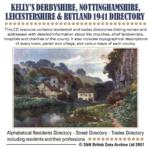
This CD resource contains residential and trades directories (listing names and addresses) with detailed information about the churches, chief landowners, hospitals and charities of the county. It also includes topographical descriptions of every town, parish and village, and colour maps of each county. *Digitally enhanced images of the original text *Searchable text *Bookmarked by major headings *Fully printable *Includes colour maps *Contains over 3200 pages... More Info
Can't find what you're looking for? Try using our filter system to narrow down your search.
Available through our sister site GenFair
An Historic Map of Wotton-under–Edge


This A4 size coloured map is based on the 1882 Ordnance Survey map of the town at 25 inches to the mile. The map has been annotated with information on some of the historic buildings, people and facts. As well as being of interest in itself it makes an ideal gift when visiting relatives and friends abroad.
Buckinghamshire Parish Map A3 size
Map for marking off places researched - ample room for name entry [sent in tube]
Chesham Town; Tithe Map 1844
map with plot numbers, with a booklet list and index of all househoilders and what they owned. [sent in tube]
Filter
Category
County
-
Devon (0)
Dorset (0)
Durham (0)
England (0)
Essex (0)
Gloucestershire (0)
Hampshire (0)
Herefordshire (0)
Hertfordshire (0)
Huntingdonshire (0)
Ireland (0)
Kent (0)
Lancashire (0)
Leicestershire (3)
Lincolnshire (0)
London (0)
Middlesex (0)
Non-UK (0)
Norfolk (0)
Northamptonshire (0)
Northumberland (0)
Nottinghamshire (5)
Oxfordshire (0)
Rutland (3)
Scotland (0)
Shropshire (0)
Somerset (0)
Staffordshire (0)
Suffolk (0)
Surrey (0)
Sussex (0)
Wales (0)
Warwickshire (0)
Westmorland (0)
Wiltshire (0)
Worcestershire (0)
Yorkshire (0)