Search Results for: “Map”
Shropshire, Cassey's Shropshire History, Gazetteer and Directory 1875
A history, gazetteer and Directory of Shropshire for 1875 containing information about local nobility, gentry and clergy; a full map of the county, and other interesting details, such as topographical features and information on courts and magistrates. All parishes are listed with detailed historical and topographical information. Consists of digitally enhanced images of the original text; searchable by whole or part name; bookmarked by major headings, and fully printable. More Info
Shropshire 1926 Kelly's Directory Special Offer
This CD resource gives names and addresses allowing you to search for your ancestors. It contains private residents, towns and villages, trades directories and maps. *Digitally enhanced images of the original text *Searchable text *Bookmarked by major headings *Fully printable Requires Adobe Acrobat Reader 8 or above.... More Info
Herefordshire and Shropshire 1934 Kelly's Directory Special Offer
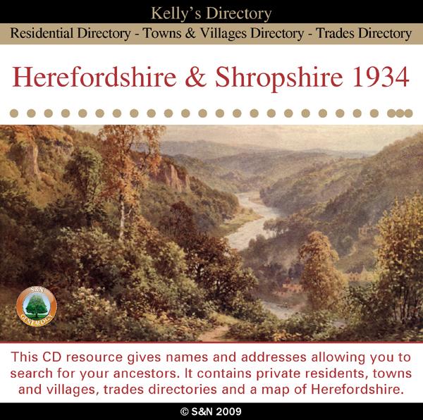
This CD resource gives names and addresses allowing you to search for your ancestors. It contains private residents, towns and villages, trades directories and a map of Herefordshire. *Digitally enhanced images of the original text *Searchable text *Bookmarked by major headings *Fully printable Requires Adobe Acrobat Reader 8 or above.... More Info
Can't find what you're looking for? Try using our filter system to narrow down your search.
Available through our sister site GenFair
An Historic Map of Wotton-under–Edge


This A4 size coloured map is based on the 1882 Ordnance Survey map of the town at 25 inches to the mile. The map has been annotated with information on some of the historic buildings, people and facts. As well as being of interest in itself it makes an ideal gift when visiting relatives and friends abroad.
Buckinghamshire Parish Map A3 size
Map for marking off places researched - ample room for name entry [sent in tube]
Chesham Town; Tithe Map 1844
map with plot numbers, with a booklet list and index of all househoilders and what they owned. [sent in tube]
Filter
Category
County
-
Devon (0)
Dorset (0)
Durham (0)
England (0)
Essex (0)
Gloucestershire (0)
Hampshire (0)
Herefordshire (1)
Hertfordshire (0)
Huntingdonshire (0)
Ireland (0)
Kent (0)
Lancashire (0)
Leicestershire (0)
Lincolnshire (0)
London (0)
Middlesex (0)
Non-UK (0)
Norfolk (0)
Northamptonshire (0)
Northumberland (0)
Nottinghamshire (0)
Oxfordshire (0)
Rutland (0)
Scotland (0)
Shropshire (3)
Somerset (0)
Staffordshire (0)
Suffolk (0)
Surrey (0)
Sussex (0)
Wales (0)
Warwickshire (0)
Westmorland (0)
Wiltshire (0)
Worcestershire (0)
Yorkshire (0)