Search Results for: “Map”
Berkshire, Buckinghamshire & Oxfordshire Kelly's 1907 Directory Special Offer

This Kelly's directory gives an effective overview of the public life of Berkshire, Buckinghamshire and Oxfordshire in 1907. It lists eminent residents and local businesses, and carries historical and topographical descriptions of all towns, villages and parishes, information on local courts, churches, agriculture and landowners. These directories are invaluable to those interested in building up a picture of contemporary lives, or anyone wanting to know more about general county history. This C... More Info
Berkshire, Reading, Caversham and Neighbourhood Kelly's 1935 Directory Special Offer
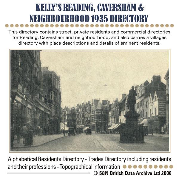
This Directory contains a Street Section, Private Residents Section, Commercial Section, Trades Section, Office Information, and a Map of the District. * Digitally enhanced images of the original text * Searchable text * Bookmarked by major headings * Fully printable... More Info
Berkshire, Buckinghamshire, Gloucestershire, Hampshire and Oxfordshire Pigot's 1830 Directory Special Offer
Pigot's directories contain descriptions of all major county towns, with background historical information, lists of tradespeople and of nobility, gentry and clergy, and general local information. This edition also has a detailed engraved map of each county. More Info
Can't find what you're looking for? Try using our filter system to narrow down your search.
Available through our sister site GenFair
An Historic Map of Wotton-under–Edge


This A4 size coloured map is based on the 1882 Ordnance Survey map of the town at 25 inches to the mile. The map has been annotated with information on some of the historic buildings, people and facts. As well as being of interest in itself it makes an ideal gift when visiting relatives and friends abroad.
Buckinghamshire Parish Map A3 size
Map for marking off places researched - ample room for name entry [sent in tube]
Chesham Town; Tithe Map 1844
map with plot numbers, with a booklet list and index of all househoilders and what they owned. [sent in tube]
Filter
Category
County
-
Devon (0)
Dorset (0)
Durham (0)
England (0)
Essex (0)
Gloucestershire (1)
Hampshire (1)
Herefordshire (0)
Hertfordshire (0)
Huntingdonshire (0)
Ireland (0)
Kent (0)
Lancashire (0)
Leicestershire (0)
Lincolnshire (0)
London (0)
Middlesex (0)
Non-UK (0)
Norfolk (0)
Northamptonshire (0)
Northumberland (0)
Nottinghamshire (0)
Oxfordshire (2)
Rutland (0)
Scotland (0)
Shropshire (0)
Somerset (0)
Staffordshire (0)
Suffolk (0)
Surrey (0)
Sussex (0)
Wales (0)
Warwickshire (0)
Westmorland (0)
Wiltshire (0)
Worcestershire (0)
Yorkshire (0)