Search Results for: “Map”
Cambridgeshire, Norfolk and Suffolk 1937 Kelly's Directory Special Offer
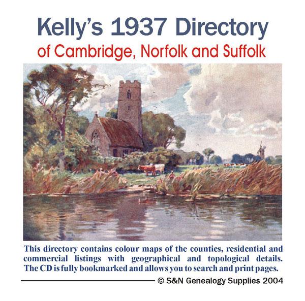
This Kelly's directory gives an effective overview of the public life of Cambridgeshire, Norfolk and Suffolk in 1937. It lists eminent residents and local businesses, and carries historical and topographical descriptions of all towns, villages and parishes, information on local courts, churches, agriculture and landowners. These directories are invaluable to those interested in building up a picture of contemporary lives, or anyone wanting to know more about general county history. This CD consi... More Info
Cambridgeshire, The Homeland Handbooks - Huntingdon and The Great Ouse with St. Neots and St. Ives (1905 Ordnance Map)
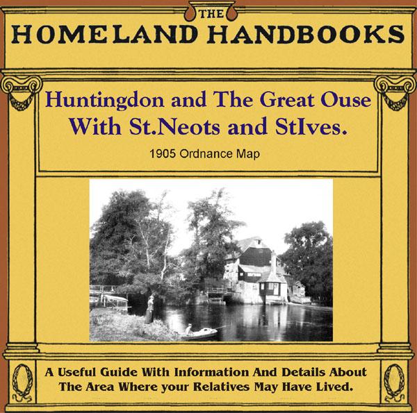
This guide provides invaluable background information on Huntingdon and The Great Ouse with St. Neots and St. Ives in the 1900's. This official council guide has maps, photographs and illustrations. It covers the history, traditions, worthies, antiquities and literary associations. This is a useful guide with information and details about the area where your relatives may have lived. *Digitally enhanced images of the original text *Includes maps, photographs and illustrations *Bookmarked by m... More Info
Cambridgeshire, Norfolk & Suffolk 1858 Post Office Directory Special Offer
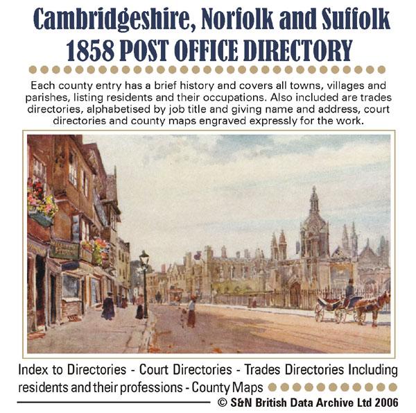
Each county entry has a brief history and covers all towns, villages and parishes, listing residents and their occupations. Also included are trade directories, alphabetised by job and giving name and address, court directories and county maps engraved expressly for the work.... More Info
Cambridgeshire 1925 Kelly's Directory

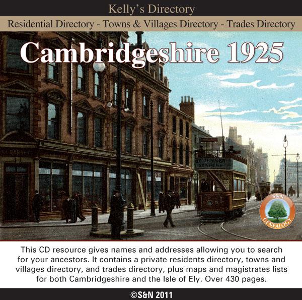
This CD resource gives names and addresses allowing you to search for your ancestors. It contains a private residents directory, towns and villages directory, trades directory, plus magistrates lists. Includes maps for both Cambridgeshire and the Isle of Ely. *Over 430 pages *Digitally enhanced images of the original text *Searchable text *Bookmarked by major headings *Fully printable... More Info
Cambridgeshire 1879 Kelly's Directory
This CD resource gives names and addresses allowing you to search for your ancestors. It contains a private residents directory, towns and villages directory, and trades directory. Includes a map of Cambridgeshire. *Digitally enhanced images of the original text *Bookmarked by major headings *Searchable text *Fully printable *Over 190 pages... More Info
Can't find what you're looking for? Try using our filter system to narrow down your search.
Available through our sister site GenFair
An Historic Map of Wotton-under–Edge


This A4 size coloured map is based on the 1882 Ordnance Survey map of the town at 25 inches to the mile. The map has been annotated with information on some of the historic buildings, people and facts. As well as being of interest in itself it makes an ideal gift when visiting relatives and friends abroad.
Buckinghamshire Parish Map A3 size
Map for marking off places researched - ample room for name entry [sent in tube]
Chesham Town; Tithe Map 1844
map with plot numbers, with a booklet list and index of all househoilders and what they owned. [sent in tube]
Filter
Category
County
-
Devon (0)
Dorset (0)
Durham (0)
England (0)
Essex (0)
Gloucestershire (0)
Hampshire (0)
Herefordshire (0)
Hertfordshire (0)
Huntingdonshire (1)
Ireland (0)
Kent (0)
Lancashire (0)
Leicestershire (0)
Lincolnshire (0)
London (0)
Middlesex (0)
Non-UK (0)
Norfolk (2)
Northamptonshire (0)
Northumberland (0)
Nottinghamshire (0)
Oxfordshire (0)
Rutland (0)
Scotland (0)
Shropshire (0)
Somerset (0)
Staffordshire (0)
Suffolk (2)
Surrey (0)
Sussex (0)
Wales (0)
Warwickshire (0)
Westmorland (0)
Wiltshire (0)
Worcestershire (0)
Yorkshire (0)