Search Results for: “Map”
Cheshire 1855 Slater's Directory Special Offer
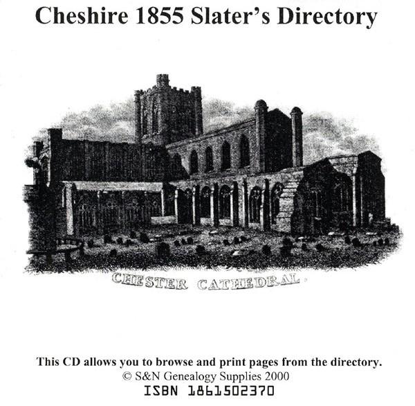
This CD resource contains the 1855 Slater's Directory of Cheshire. It carries local listings of major professions, of nobility, gentry, and clergy, of transport and freight services; and information on the education, public services, and public houses of the area. Towns, villages and parishes are listed with background historical and topographical information. A comprehensive directory, this CD enables you to research county history and to find out what governed the lives of your ancestors. This... More Info
Cheshire 1923 Kelly's Directory

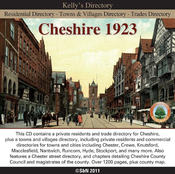
This CD contains a private residents and trade directory for Cheshire, plus a towns and villages directory, including private residents and commercial directories for towns and cities including Chester, Crewe, Knutsford, Macclesfield, Nantwich, Runcorn, Hyde, Stockport, and many more. Also features a Chester street directory, and chapters detailing Cheshire County Council and magistrates of the county. Includes county map. * Digitally enhanced images of the original text * Searchable text * More Info
Can't find what you're looking for? Try using our filter system to narrow down your search.
Available through our sister site GenFair
An Historic Map of Wotton-under–Edge


This A4 size coloured map is based on the 1882 Ordnance Survey map of the town at 25 inches to the mile. The map has been annotated with information on some of the historic buildings, people and facts. As well as being of interest in itself it makes an ideal gift when visiting relatives and friends abroad.
Buckinghamshire Parish Map A3 size
Map for marking off places researched - ample room for name entry [sent in tube]
Chesham Town; Tithe Map 1844
map with plot numbers, with a booklet list and index of all househoilders and what they owned. [sent in tube]
Filter
Category
County
-
Devon (0)
Dorset (0)
Durham (0)
England (0)
Essex (0)
Gloucestershire (0)
Hampshire (0)
Herefordshire (0)
Hertfordshire (0)
Huntingdonshire (0)
Ireland (0)
Kent (0)
Lancashire (0)
Leicestershire (0)
Lincolnshire (0)
London (0)
Middlesex (0)
Non-UK (0)
Norfolk (0)
Northamptonshire (0)
Northumberland (0)
Nottinghamshire (0)
Oxfordshire (0)
Rutland (0)
Scotland (0)
Shropshire (0)
Somerset (0)
Staffordshire (0)
Suffolk (0)
Surrey (0)
Sussex (0)
Wales (0)
Warwickshire (0)
Westmorland (0)
Wiltshire (0)
Worcestershire (0)
Yorkshire (0)