Search Results for: “Map”
S&N Tri-County CD of Devon, Norfolk and Warwick
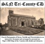
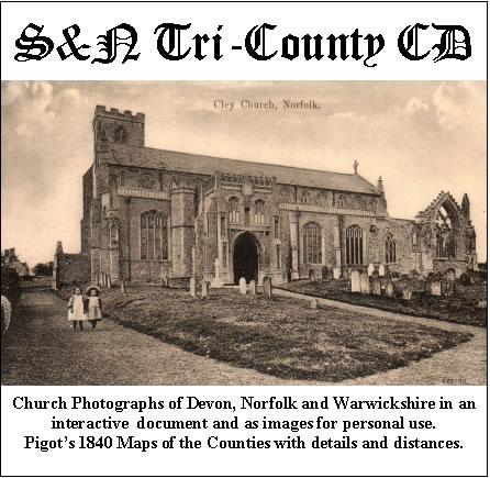
Church photographs of Devon, Norfolk, and Warwickshire in an interactive document and as images for personal use; Pigot's 1840 maps of the counties with details and distances... More Info
Product Code: GRD30
Devon 1873 Kelly's Directory
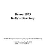
A virtual book CD-ROM for easy browsing, this Kelly's directory gives an effective overview of the public life of Devonshire in 1873. It lists eminent residents and local businesses, and carries historical and topographical descriptions of all towns, villages and parishes, information on local courts, churches, agriculture and landowners. These directories are invaluable to those interested in building up a picture of contemporary lives, or anyone wanting to know more about general county histor... More Info
Product Code: DIR3164
Devon, The Homeland Handbooks - Lynton, Lynmouth and the Lorna Doone Country - Ordnance Map c1900 Special Offer
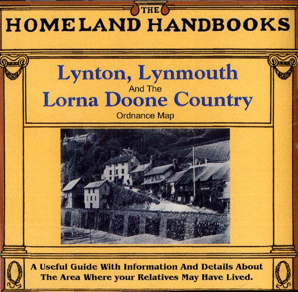
This guide provides invaluable background information on Lynton, Lynmouth and the Lorna Doone Country in the 1900's. This official council guide has maps, photographs and illustrations. It covers the history, traditions, worthies, antiquities and literary associations. This CD is a useful guide with information and details about the area where your relatives may have lived. *Digitally enchanced images of the original text *Includes maps, photographs and illustrations *Searchable by who... More Info
Devon, The Ancient History of Exeter Special Offer
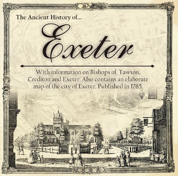
Learn about the Exeter's interesting and sometimes turbulent past. Includes information on Bishops of Tawton, Crediton and Exeter. Also contains an elaborate map of the city of Exeter. Published in 1765. *Digitally enhanced images of the original text * Fully searchable * Bookmarked by major headings * Fully printable... More Info
Devon, Ward & Lock's Paignton and South Devon 1923/4 Illustrated Guide Special Offer
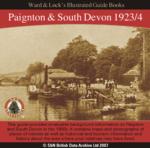

This guide provides invaluable background information on Paignton, Torquay, Dartmouth, Kingsbridge, Totnes, etc. in the 1900s. It contains maps and photographs of places of interest as well as historical and tourism information and history about the area where your relatives may have lived. *Digitally enhanced images of the original text *Searchable text *Bookmarked by major headings *Fully printable *Includes photos and colour maps *Contains over 300 pages... More Info
Devon, Hampshire, Kent - Chatham, Plymouth and Portsmouth Memorial Registers 1914-1921
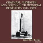
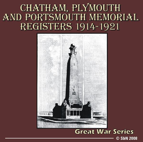
This CD contains lists of officers and men of the Royal Navy who died at sea. Information includes: name, rank, place of service, names of immediate family, address, date and circumstances of death (available information varies). Also includes illustrations, maps and a history of the memorials. *Digitally enhanced images of the original text *Bookmarked by major headings *Fully searchable *Fully printable... More Info
Can't find what you're looking for? Try using our filter system to narrow down your search.
Available through our sister site GenFair
An Historic Map of Wotton-under–Edge


This A4 size coloured map is based on the 1882 Ordnance Survey map of the town at 25 inches to the mile. The map has been annotated with information on some of the historic buildings, people and facts. As well as being of interest in itself it makes an ideal gift when visiting relatives and friends abroad.
Buckinghamshire Parish Map A3 size
Map for marking off places researched - ample room for name entry [sent in tube]
Chesham Town; Tithe Map 1844
map with plot numbers, with a booklet list and index of all househoilders and what they owned. [sent in tube]
Filter
Category
County
-
Devon (7)
Dorset (0)
Durham (0)
England (0)
Essex (0)
Gloucestershire (0)
Hampshire (1)
Herefordshire (0)
Hertfordshire (0)
Huntingdonshire (0)
Ireland (0)
Kent (1)
Lancashire (0)
Leicestershire (0)
Lincolnshire (0)
London (0)
Middlesex (0)
Non-UK (0)
Norfolk (1)
Northamptonshire (0)
Northumberland (0)
Nottinghamshire (0)
Oxfordshire (0)
Rutland (0)
Scotland (0)
Shropshire (0)
Somerset (0)
Staffordshire (0)
Suffolk (0)
Surrey (0)
Sussex (0)
Wales (0)
Warwickshire (1)
Westmorland (0)
Wiltshire (0)
Worcestershire (0)
Yorkshire (0)