Search Results for: “Map”
Gloucestershire 1844 Pigot's Directory
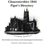
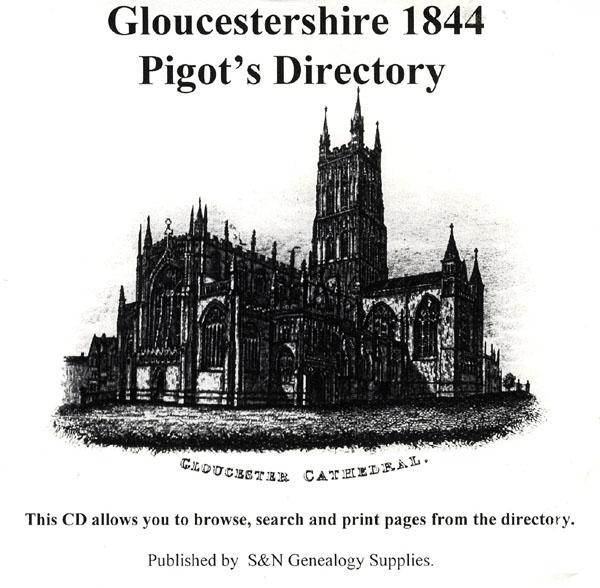
This virtual book CD resource contains the 1844 Pigot's directory for Gloucestershire. It carries local listings of major professions, of nobility, gentry, and clergy, of transport and freight services; and information on the education, public services, and public houses of the area. Towns, villages and parishes are listed with background historical and topographical information. A comprehensive directory, this CD gives you valuable insight into public county life and the ability to find out wha... More Info
Gloucestershire 1906 Kelly's Directory
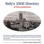
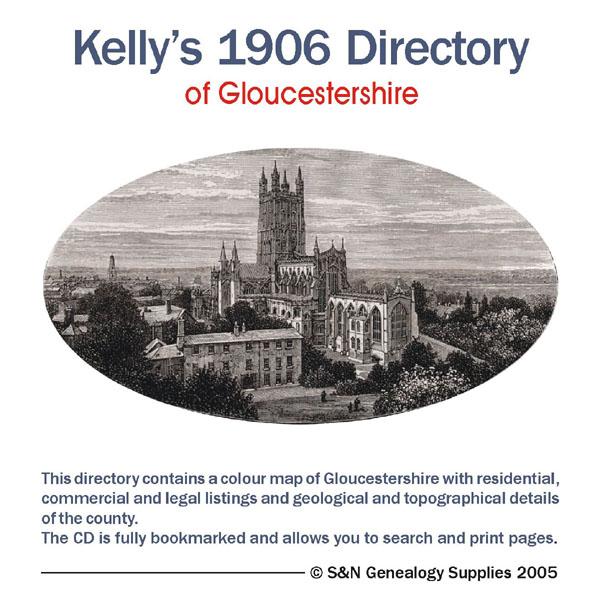
This Kelly's directory gives an effective overview of the public life of Gloucestershire in 1906. It lists eminent residents and local businesses, and carries historical and topographical descriptions of all towns, villages and parishes, information on local courts, churches, agriculture and landowners. These directories are invaluable to those interested in building up a picture of contemporary lives, or anyone wanting to know more about general county history. This CD consists of digitally enh... More Info
Berkshire, Buckinghamshire, Gloucestershire, Hampshire and Oxfordshire Pigot's 1830 Directory Special Offer

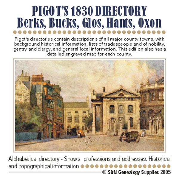
Pigot's directories contain descriptions of all major county towns, with background historical information, lists of tradespeople and of nobility, gentry and clergy, and general local information. This edition also has a detailed engraved map of each county. More Info
Gloucestershire, Wright's Bristol & Clifton 1895 Directory Special Offer


This directory covers Bristol and its suburbs along with adjacent villages. It contains a street directory, names directory, villa and detached house directory, and professional and commercial directories. Includes large colour map. *Digitally enhanced images of the original text *Searchable text *Bookmarked by major headings *Fully printable *Large colour map... More Info
Gloucestershire, Cheltenham c.1890 Map CD
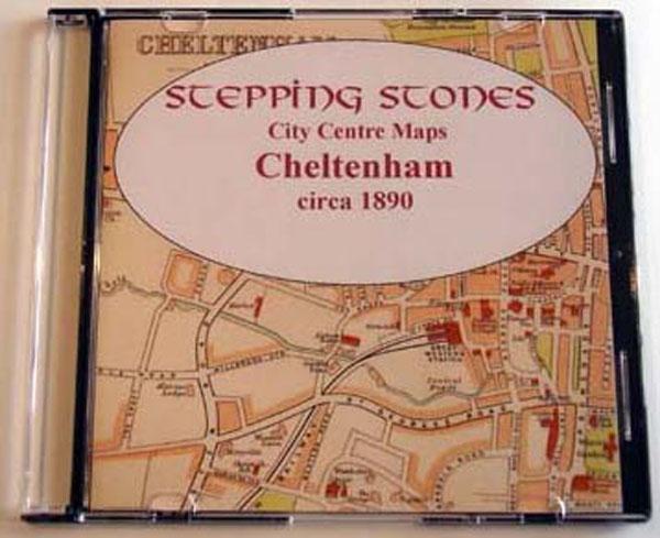
Stepping Stones publication Cheltenham c.1890 Map CD... More Info
Somerset & Bristol Kelly's 1894 Directory
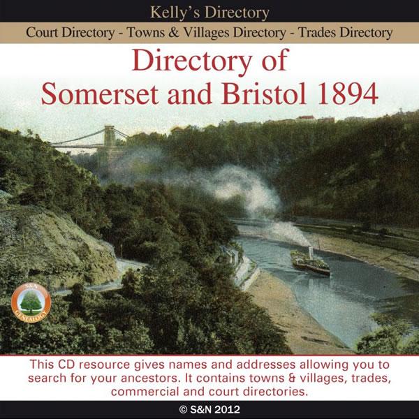
This CD resources takes a look at Somerset and Bristol before the turn of the century. It includes a Court directory, Trades and Commercial directories, and a Towns and Villages directory which lists private residents for each entry. The Bristol section adds Street, Clerical and Conveyance directories, which include schools and colleges, police stations, hospitals, etc. The CD also contains a map of Somerset. More Info
Can't find what you're looking for? Try using our filter system to narrow down your search.
Available through our sister site GenFair
An Historic Map of Wotton-under–Edge


This A4 size coloured map is based on the 1882 Ordnance Survey map of the town at 25 inches to the mile. The map has been annotated with information on some of the historic buildings, people and facts. As well as being of interest in itself it makes an ideal gift when visiting relatives and friends abroad.
Buckinghamshire Parish Map A3 size
Map for marking off places researched - ample room for name entry [sent in tube]
Chesham Town; Tithe Map 1844
map with plot numbers, with a booklet list and index of all househoilders and what they owned. [sent in tube]
Filter
Category
County
-
Devon (0)
Dorset (0)
Durham (0)
England (0)
Essex (0)
Gloucestershire (7)
Hampshire (1)
Herefordshire (0)
Hertfordshire (0)
Huntingdonshire (0)
Ireland (0)
Kent (0)
Lancashire (0)
Leicestershire (0)
Lincolnshire (0)
London (0)
Middlesex (0)
Non-UK (0)
Norfolk (0)
Northamptonshire (0)
Northumberland (0)
Nottinghamshire (0)
Oxfordshire (1)
Rutland (0)
Scotland (0)
Shropshire (0)
Somerset (3)
Staffordshire (0)
Suffolk (0)
Surrey (0)
Sussex (0)
Wales (0)
Warwickshire (0)
Westmorland (0)
Wiltshire (0)
Worcestershire (0)
Yorkshire (0)