Toggle navigation
S&N Genealogy
Products
Archiving, Charts & Ephemera
Binders, Sleeves & Indexing
Books
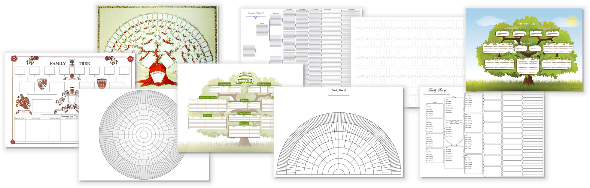
Charts
Data CDs & Downloads
Family History Gifts
Magnifiers & Research Aids
Software
Springback Binders
Vouchers
Bargain Basket
Offer of the Week
Special Offers
What's New?
About
About Family History
Family History Fairs
News
Payment & Delivery
Why Buy From Us?
Customer Reviews
Help
Technical Support
Contact Us
Useful Links
Basket
Account
Log In / Sign Up
Buy 2 Get 1 Free on Charts
Buy three charts and get the cheapest FREE!
Click here to order your Charts
Click here for Special Offers
Click here for Gifts
Click here for Bargain Basket