Atlases, Maps & Gazetteers
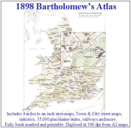
Atlases and Maps
Atlases and Maps can be a great aid to finding where your ancestors lived. Over the years streets get knocked down, villages disappear and cities expand. During the second world war many streets were bombed and areas changed out of all recognition. We have various atlases some of which include city/town centre plans and are at a large enough scale to show houses.
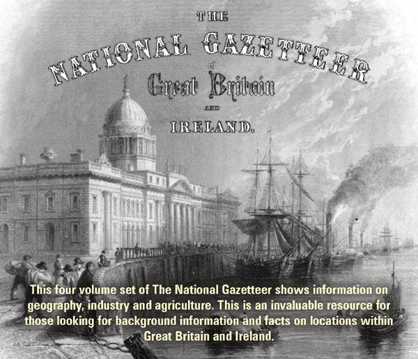
Gazetteers
These contain lists of place names with descriptions. They can give detailed information including information on barony, borough, burgh, chapelry, civil-parish, ecclesiastical parish, hamlet, liberty, market towns, parish, quoad sacra parish, riding, tithing, town land and townships, location, population, distance from nearest rail station, distance from either London or Dublin, soil conditions, natural resources, goods manufactured, names of churches, monuments, and historical information. Some also contain maps to illustrate the county sections.