Search Results for: “Cumberland”
UK Maps Collection


A collection of over 100 maps covering England, Scotland, Ireland and Wales. These high resolution maps can show you how place-names and counties differed from the present day. Contains various printable maps showing towns, counties, and countries in the UK from as early as 1660. More Info
Product Code: GRD36
Can't find what you're looking for? Try using our filter system to narrow down your search.
Available through our sister site GenFair
Canonbie Churchyard Memorial Inscriptions Vol 1 (2020)
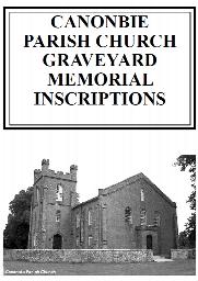
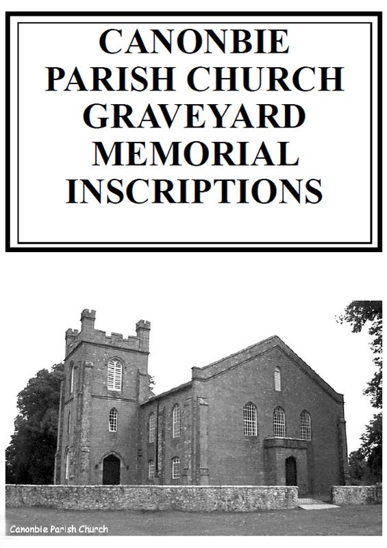
This is a 60 page book of Memorial Inscriptions for Canonbie (old name Canonby) Churchyard in the town and Parish of Canonbie, Dumfriesshire. Canonbie is on the border with England. It was re-published in 2020 and consists of 34 pages of inscriptions from 305 headstones. It is fully indexed by Surname and Forename. Vol 2 has a further 273 gravestones. As the previous book was re-published to provi...More Info
Canonbie Churchyard Memorial Inscriptions Vol 2 (2020)
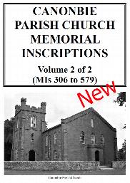
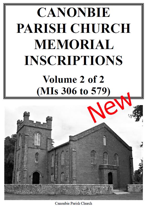
This is a 56 page book of Memorial Inscriptions for Canonbie (old name Canonby) Churchyard in the town and Parish of Canonbie, Dumfriesshire. Canonbie is on the border with England. It was re-published in 2020 and consists of 31 pages of inscriptions from 273 headstones. It is fully indexed by Surname and Forename. Vol 2 has a further 305 gravestones. As the previous book was re-published to provi...More Info
Letters in Lead: The Men and Village of Lindal-in-Furness in the Great War
By Caroline Turner (OUHS member). The effect of the losses of the Great War on a small Cumbrian village
PS90 Compleat Parish Officer 1734
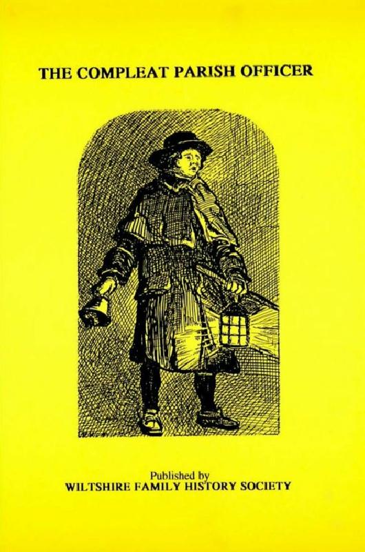
Reprint of a guide for parish officers to deal with complex poor laws and social problems. A5 104p