Search Results for: “Northamptonshire”
UK Maps Collection


A collection of over 100 maps covering England, Scotland, Ireland and Wales. These high resolution maps can show you how place-names and counties differed from the present day. Contains various printable maps showing towns, counties, and countries in the UK from as early as 1660. More Info
Product Code: GRD36
Northamptonshire, The Homeland Handbooks - Northampton with its surroundings (Approx. 1910)
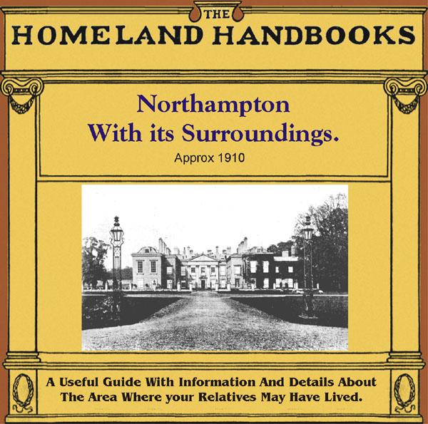
This guide provides invaluable background information on Northampton with its surroundings in the 1900's. This official council guide has maps, photographs and illustrations. It covers the history, traditions, worthies, antiquities and literary associations. This is a useful guide with information and details about the area where your relatives may have lived. *Digitally enhanced images of the original text *Includes maps, photographs and illustrations *Bookmarked by major headings *Fully p More Info
Can't find what you're looking for? Try using our filter system to narrow down your search.
Available through our sister site GenFair
Stamford Union Workhouse Minutes Part 14 (1876-1888) Includes parts of Rutland, Northamptonshire and Huntingdonshire
A transcript of all the entries from the Minutes of the Board of Guardians for the years 1876 to 1888, that mention the paupers by name.These include both inmates and also those receiving relief in their own homes, and also asylums. The entries may cover such issues as, settlement & removals, medical ailments, apprenticeships, bastardy cases, emigration, and lunatics. Orders for maintenance paymen...More Info
EU/Overseas Membership of Northamptonshire FHS - with journal by email
**For persons living outside the UK only**.
Sources for Researching Nonconformity in Northamptonshire
Gives background information on key dates & denominations, plus sources for specific places and people including records held by Northants Record Office and Northampton Local Studies.
EU/Overseas membership of Northamptonshire FHS - with printed journal
**For persons living outside the UK only**.