Search Results for: “Northumberland”
UK Maps Collection


A collection of over 100 maps covering England, Scotland, Ireland and Wales. These high resolution maps can show you how place-names and counties differed from the present day. Contains various printable maps showing towns, counties, and countries in the UK from as early as 1660. More Info
Product Code: GRD36
Newcastle & Gateshead c.1890 Map CD
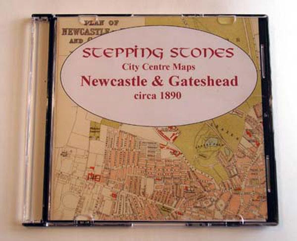
Stepping Stones publication Newcastle and Gateshead c.1890 Map CD... More Info
Product Code: SS5129
Can't find what you're looking for? Try using our filter system to narrow down your search.
Available through our sister site GenFair
NORTHUMBERLAND 1787
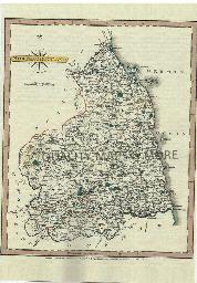
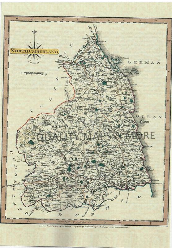
A QUALITY A3 SIZE COLOUR REPRODUCTION FROM JOHN CARY'S 1787 ATLAS WITH DETAILS OF THE COUNTY OVERLEAF. LASER PRINTER ON GOOD QUALITY CARTRIDGE PAPER. SENT FOLDED IN A PLASTIC DISPLAY SLEEVE IN A STIFF CARD ENVELOPE AT THE LARGE LETTER RATE. SCALES VARY
SLATER’S DIRECTORY OF DURHAM, NORTHUMBERLAND AND YORKSHIRE, 1854
Classified lists of the nobility, gentry and clergy; merchants, bankers, professional gentlemen, manufacturers and traders. Includes historical and descriptive sketches of each county, city, town and village; an account of every mode of transport, by rail, road and water, the postal regulations of each place, alist of the bankers of the United Kingdom, with their branches, and a variety of miscell...More Info
Some Travellers in the 1891 Census - 2
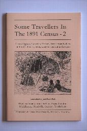

By Janet Keet-Black. Circus, Gypsies, Showmen, Theatre, Travellers, and others - extracted from Durham, Northumberland, Yorkshire, Essex, London, Middlesex, Norfolk. More than 2,000 individuals recorded. Transcribed in "as enumerated" format with a surname index. 60 pages.
1828-9 PIGOT & CO'S NATIONAL COMMERCIAL DIRECTORY
Classification of professional gentlemen, bankers, &c., and manufacturers and traders in the cities, towns and principal villages in the counties of Cheshire, Cumberland, Derbyshire, Durham, Lancashire, Leicestershire, Lincolnshire, Northumberland, Nottinghamshire, Rutlandshire, Shropshire, Staffordshire, Warwickshire, Westmoreland, Worcestershire, Yorkshire and the whole of North Wales. Includes ...More Info