Search Results for: “Berkshire”
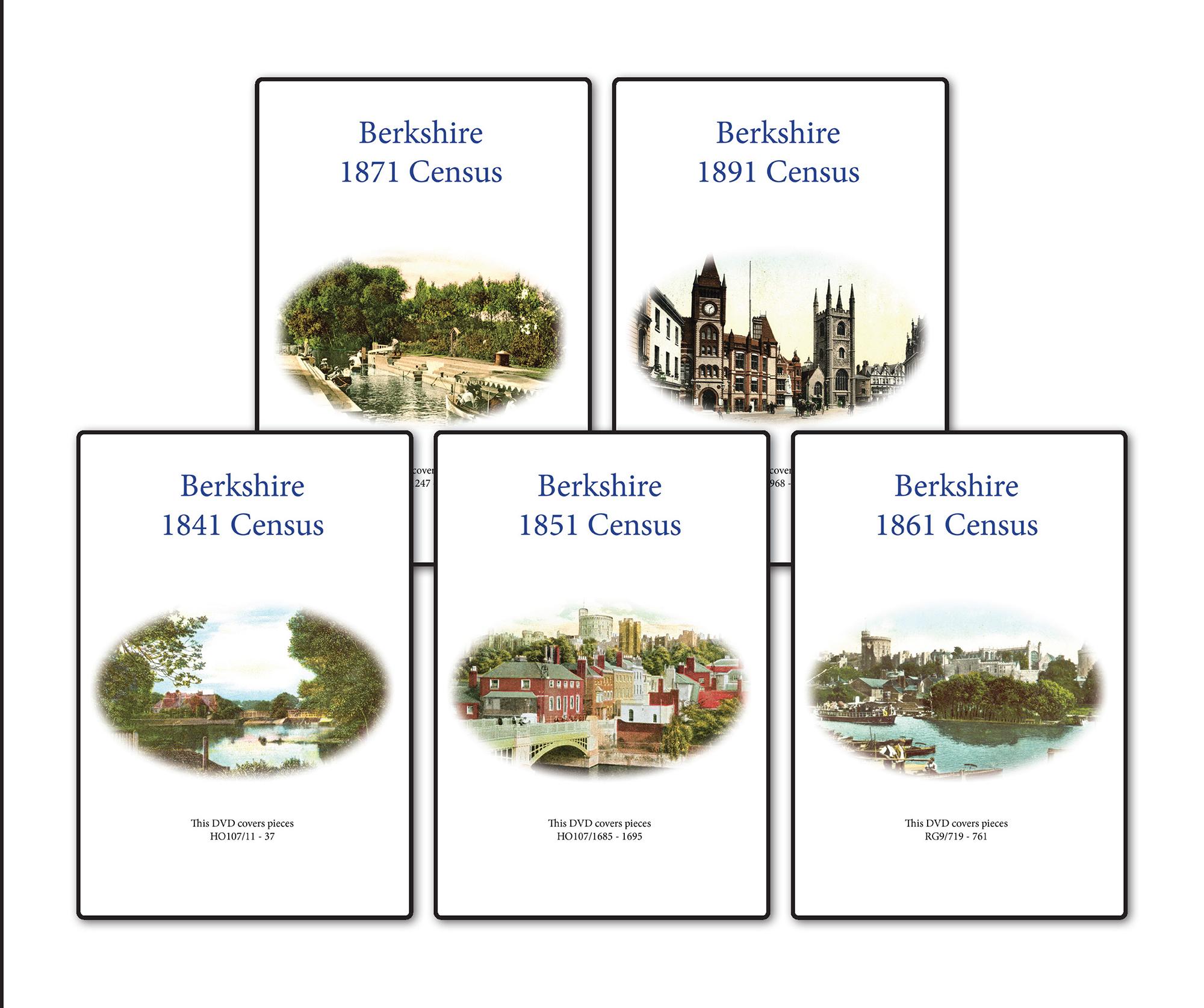
Berkshire 1891 Census Special Offer
This is the original Census information digitised from microfiche and supplied as Acrobat documents with Street and Area Indexes. ... More Info
Berkshire 1901 Census Special Offer
This is the original Census information digitised from high quality microfilm and scanned several times to provide the best possible images. Supplied as Acrobat documents with Street and Area Indexes. ... More Info
Berkshire 1871 Census Special Offer
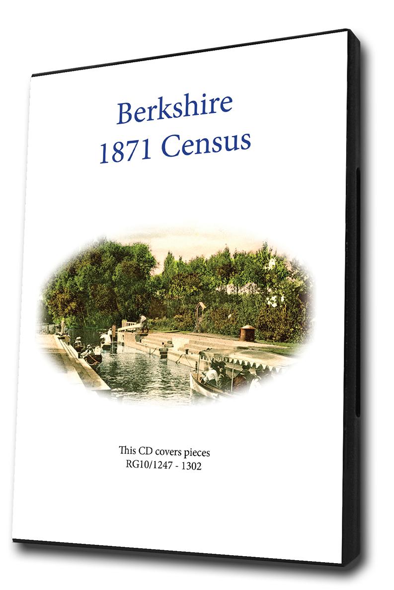
This is the original Census information digitised from high quality microfilm and scanned several times to provide the best possible images. Supplied as Acrobat documents with Street and Area Indexes. ... More Info
Berkshire 1861 Census Special Offer
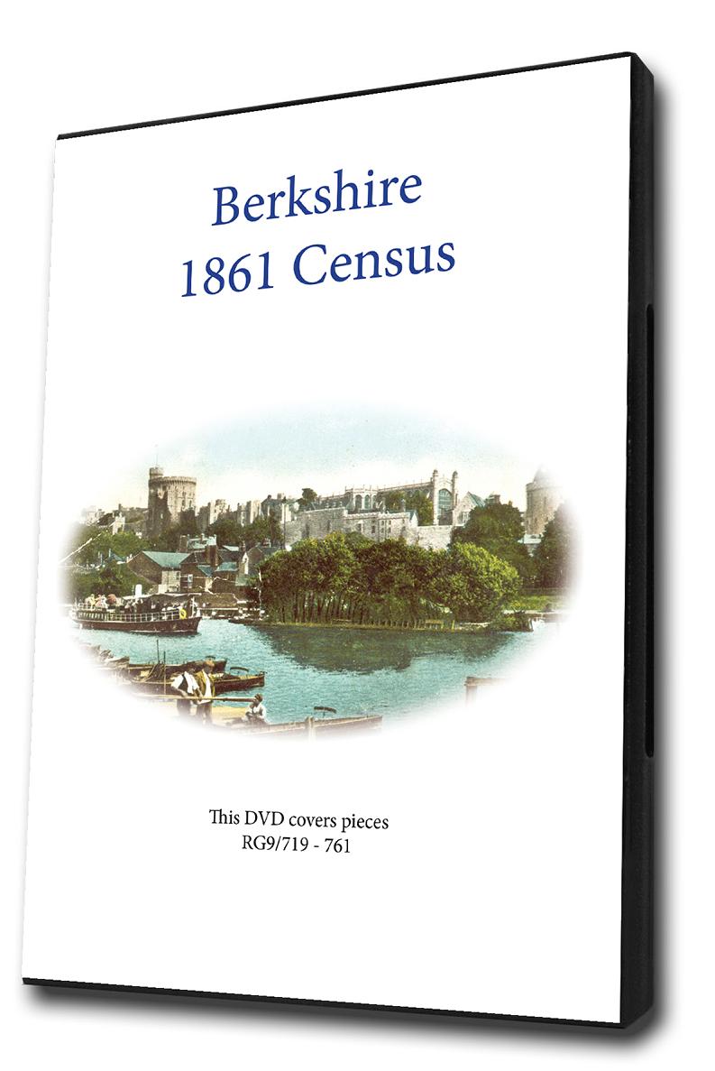
This is the original Census information digitised from high quality microfilm and scanned several times to provide the best possible images. Supplied as Acrobat documents with Street and Area Indexes. ... More Info
Berkshire 1851 Census Special Offer
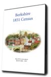

This is the original Census information digitised from high quality microfilm and scanned several times to provide the best possible images. Supplied as Acrobat documents with Street and Area Indexes. ... More Info
Berkshire 1841 Census Special Offer
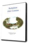
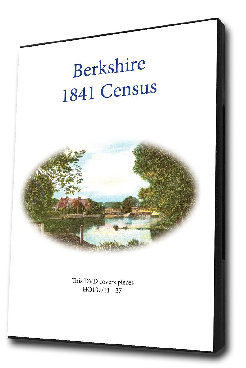
This is the original Census information digitised from high quality microfilm and scanned several times to provide the best possible images. Supplied as Acrobat documents with Street and Area Indexes. ... More Info
Berkshire Census Bundle - 1841, 1851, 1861, 1871 and 1891 Special Offer
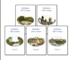
This bundle contains the sets for the years 1841,1851,1861,1871 and 1891. Eath set consists of a cd pack of acrobat documents which contain census page images indexed by street and area.... More Info
Berkshire Census Bundle - 1841, 1851, 1861 and 1871 Special Offer
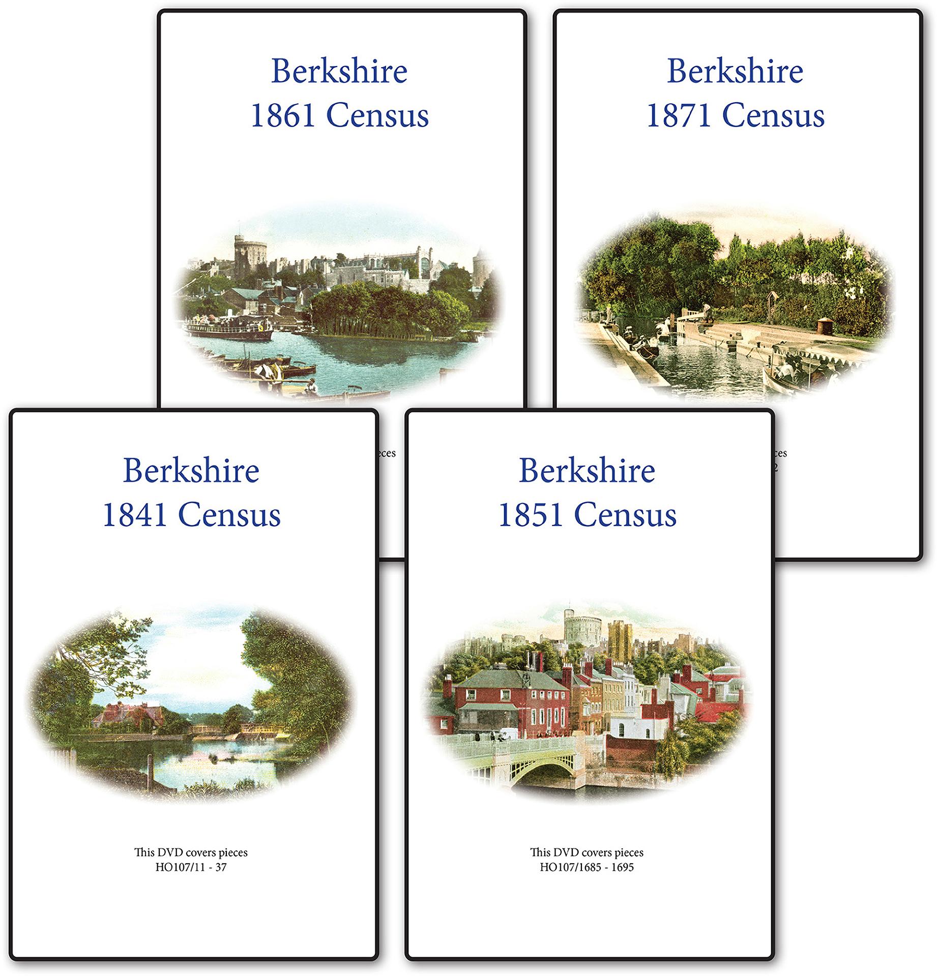
This bundle contains the sets for the years 1841,1851,1861 and 1871. Each set consists of a CD pack of acrobat documents which contain census page images indexed by street and area.... More Info
Berkshire Census Bundle - 1841, 1851, 1861, 1871, 1891 and 1901 Special Offer

This Census bundle contains the sets for the years 1841,1851,1861,1871,1891 and 1901. Each set consists of a CD pack of which contain census page images indexed by street and area.... More Info
Can't find what you're looking for? Try using our filter system to narrow down your search.
Available through our sister site GenFair
East Ilsley in the 1830s [CD]
by Sue Burnay & Nigel Wardell - an interactive map based on a pre-tithe map of 1831, together with its associated terrier, listing the owners, occupiers, descriptions etc. of every building and plot of land in the parish. A beautiful example of early 19th century map-making - high resolution scans mean that every detail is visible.
Educating the Ilsleys
by Eric Saxton - a history of education in the Ilsleys (East and West), including both private and public education spanning 200 years.
In the Name of God, Amen - transcripts of 190 East Ilsley wills (1504-1877) [CD]
by Eric Saxton. A summary of all the executors, beneficiaries and witnesses is provided for each of the wills, together with a full transcript. A total of 27 wills pre-date the parish registers of the village. Includes a full name index to all of the people mentioed in the wills.
"A Drunken Worthless Creature" - notes on parishioners, 1831
by Kay Sanderson. A series of notes on the parishioners of East Ilsley, compiled for an incoming rector in 1831. The notes are candid pen-portraits and often disparaging - particularly on their drinking habits! Includes a map and terrier of the village centre.
The history and architecture of St. Mary's church, East Ilsley
A summary of the history of this church and the main architectural features, with details of its 17th century clock and its bells.