Search Results for: “Berkshire”
UK Maps Collection


A collection of over 100 maps covering England, Scotland, Ireland and Wales. These high resolution maps can show you how place-names and counties differed from the present day. Contains various printable maps showing towns, counties, and countries in the UK from as early as 1660. More Info
Product Code: GRD36
Berkshire Phillimore Parish Records (Marriages) Volume 02 Special Offer
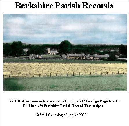
Berkshire Phillimore Parish Records (Marriages) Volume 2 - Bradfield 1559-1812, Buscot 1676-1812, Harwell 1559-1837, Kingston Lisle 1560-1837, Purley 1662-1840, Sparsholt 1559-1812, Sulham 1723-1837, West Hanney 1564-1837 and West Hendred 1559-1837.... More Info
Product Code: PRS67
Berkshire, Buckinghamshire, Gloucestershire, Hampshire and Oxfordshire Pigot's 1830 Directory Special Offer

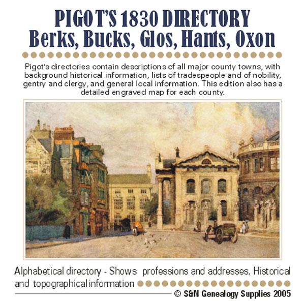
Pigot's directories contain descriptions of all major county towns, with background historical information, lists of tradespeople and of nobility, gentry and clergy, and general local information. This edition also has a detailed engraved map of each county. More Info
Berkshire, Buckinghamshire & Oxfordshire Kelly's 1939 Directory

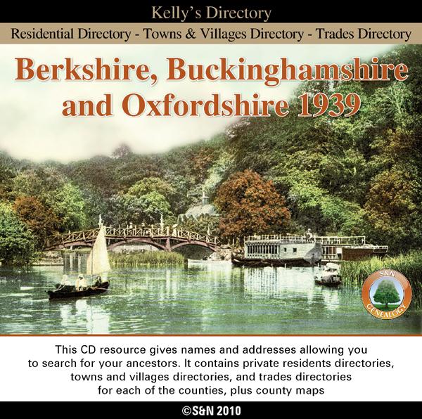
This directory includes alphabetical lists of residents and trades people with addresses. It also gives historical and topographical information for each town, village and parish. *Digitally enhanced images of the original text *Fully searchable *Bookmarked by major headings *Fully printable More Info
Can't find what you're looking for? Try using our filter system to narrow down your search.
Available through our sister site GenFair
PS90 Compleat Parish Officer 1734
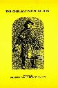
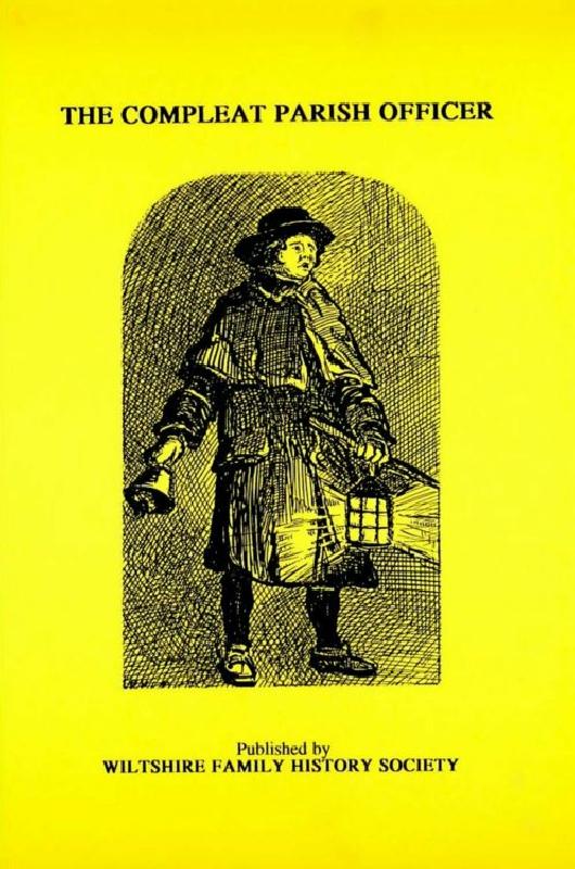
Reprint of a guide for parish officers to deal with complex poor laws and social problems. A5 104p
PS91 Handy Book of Parish Law
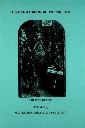
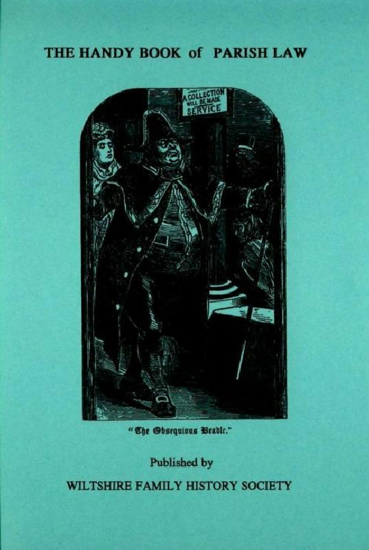
Reprint of a 3rd Ed. (1872) of a book dealing with many aspects of law affecting the parish and its officers. A5 112p
Oxfordshire (The King's England)
Arthur Mee's classic pre-WW2 guide to the region's settlements including churches and castles and other historic places – 'County of imperishable fame' – with 231 places and 165 pictures.