Search Results for: “Hertfordshire”
UK Maps Collection


A collection of over 100 maps covering England, Scotland, Ireland and Wales. These high resolution maps can show you how place-names and counties differed from the present day. Contains various printable maps showing towns, counties, and countries in the UK from as early as 1660. More Info
Product Code: GRD36
Hertfordshire, The Homeland Handbooks - St. Alban's 1907 Special Offer
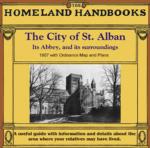
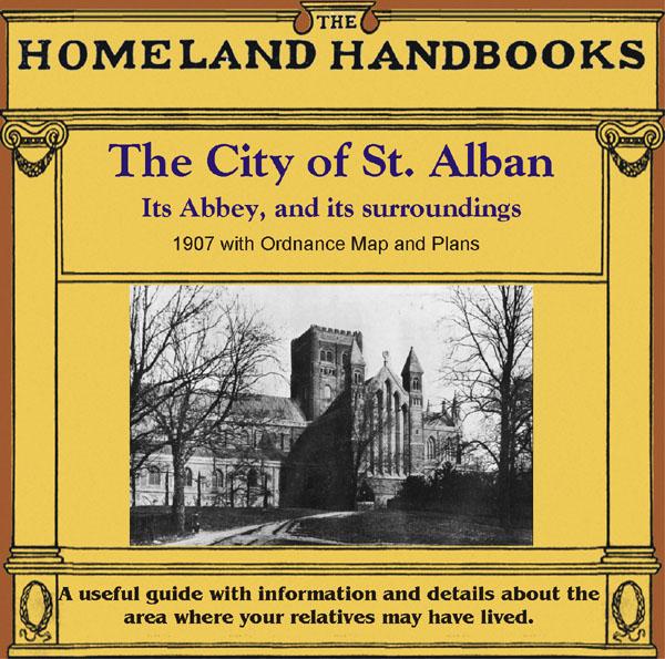
This guide provides invaluable background information on St. Alban's in the 1900s. This official council guide has maps, photographs and illustrations. It covers the history, traditions, worthies, antiquities and literary associations. This CD is a useful guide with information and details about the area where your relatives may have lived. *Digitally enchanced images of the original text *Includes maps, photographs and illustrations *Searchable by whole or part name *Bookmarked by major ... More Info
Can't find what you're looking for? Try using our filter system to narrow down your search.
Available through our sister site GenFair
HERTFORDSHIRE 1787
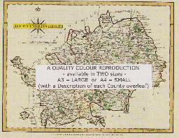
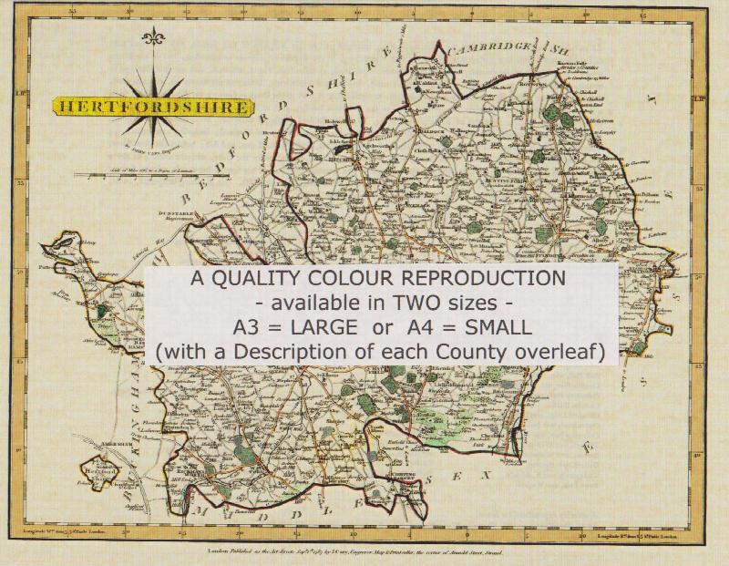
A QUALITY A3 SIZE COLOUR REPRODUCTION FROM JOHN CARY'S 1787 ATLAS WITH DETAILS OF THE COUNTY OVERLEAF. LASER PRINTER ON GOOD QUALITY CARTRIDGE PAPER. SENT FOLDED IN A PLASTIC DISPLAY SLEEVE IN A STIFF CARD ENVELOPE AT THE LARGE LETTER RATE. SCALES VARY
Hertfordshire (The King's England)
Arthur Mee's classic pre-WW2 guide to the region's settlements including churches and castles and other historic places – 'London's country neighbour' – with 148 places and 108 pictures.
Abbots Langley: The Parish Church of St Lawrence the Martyr

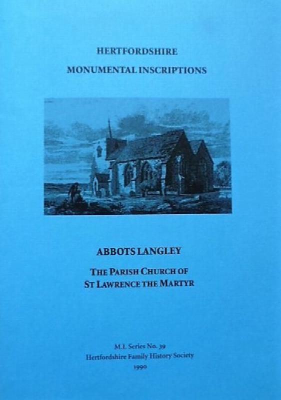
Hertfordshire Monumental Inscriptions Series Volume 39 published in 1990. A 70 page A5 book containing transcriptions of monumental inscriptions in the Church and Churchyard, including War Memorial, with introduction, plans and a surname index.
Aldenham: The Parish Church of St John the Baptist
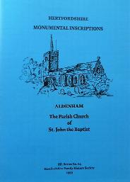
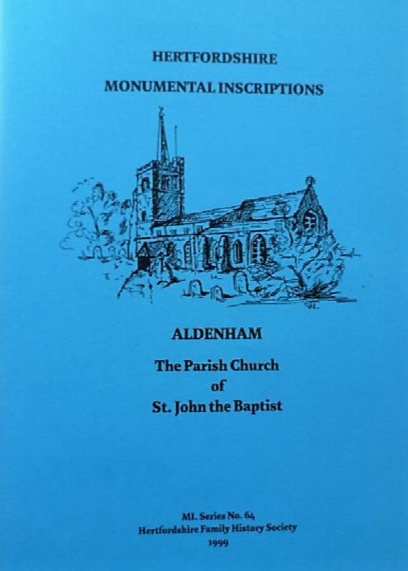
Hertfordshire Monumental Inscriptions Series Volume 64 published in 1999. A 76 page A5 book containing transcriptions of monumental inscriptions in the Church and Churchyard, including War Memorial at Letchmore Heath, with introduction, plans and a surname index.