Search Results for: “Norfolk”
UK Maps Collection


A collection of over 100 maps covering England, Scotland, Ireland and Wales. These high resolution maps can show you how place-names and counties differed from the present day. Contains various printable maps showing towns, counties, and countries in the UK from as early as 1660. More Info
Product Code: GRD36
Can't find what you're looking for? Try using our filter system to narrow down your search.
Available through our sister site GenFair
Ag Lab Chronicles 21 - 30
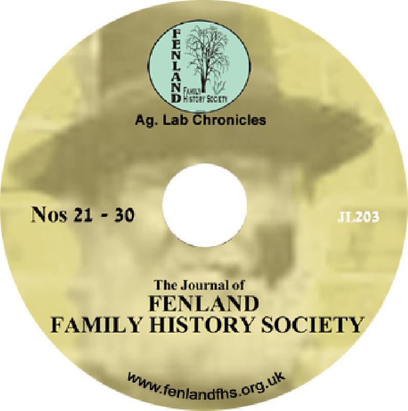
Journal of Fenland Family History Society for summary of contents visit www.fenlandfhs.org.uk PDF files (reader included) search facility
Fenland Memorial Inscriptions & Parish registers - WALPOLE ST PETER
Complete FEN-306 - Burials from Registers Memorial (Memorial) Inscriptions including Lych Gate & War Memorial. PLUS images of Books Banns 1 and 2 , Baptisms - St Edmunds Chapel, Burials 1922 - 1986 and 1868 - 1914, Confirmation Book 1929 - 1937, Sextons 1 - 1882- 1943 and 2 19466 - 1949 Reader Included
Yorkshire Pollbooks 1741 & 1807; West Riding Pollbook 1835
Pollbooks list everyone who voted in Parliamentary elections, and provide excellent means of tracing particular surnames across entire counties in the eighteenth century. Yorkshire family and local historians will find these three facsimile pollbooks valuable sources of information on surnames.
PS90 Compleat Parish Officer 1734
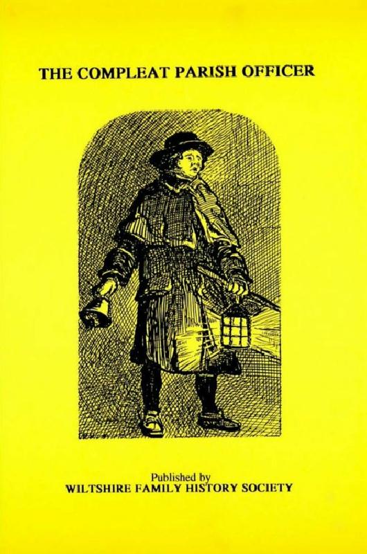
Reprint of a guide for parish officers to deal with complex poor laws and social problems. A5 104p
PS91 Handy Book of Parish Law
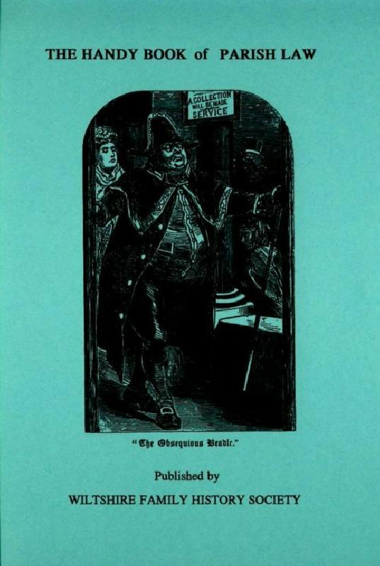
Reprint of a 3rd Ed. (1872) of a book dealing with many aspects of law affecting the parish and its officers. A5 112p