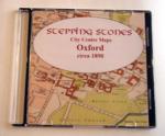
Search Results for: “Oxfordshire”
UK Maps Collection


A collection of over 100 maps covering England, Scotland, Ireland and Wales. These high resolution maps can show you how place-names and counties differed from the present day. Contains various printable maps showing towns, counties, and countries in the UK from as early as 1660. More Info
Product Code: GRD36

Can't find what you're looking for? Try using our filter system to narrow down your search.
Available through our sister site GenFair
PS91 Handy Book of Parish Law
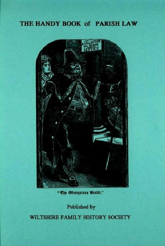
Reprint of a 3rd Ed. (1872) of a book dealing with many aspects of law affecting the parish and its officers. A5 112p
Oxford: Encounters through History

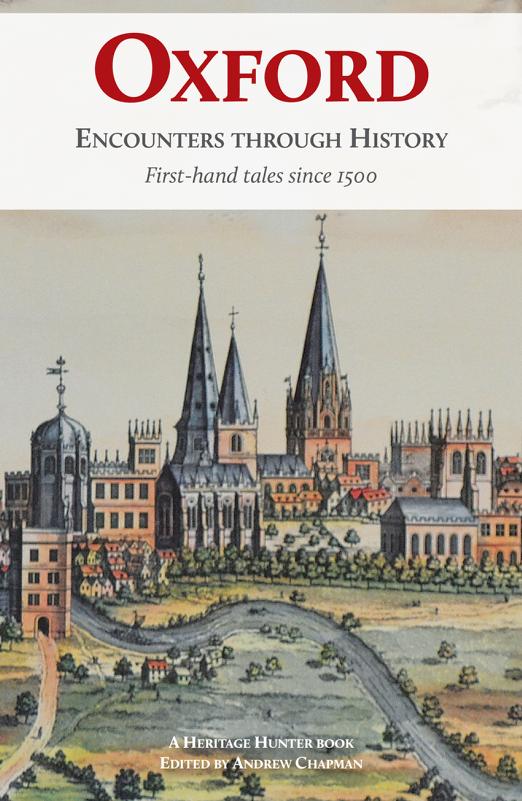
Oxford has been a magnet for tourists and historians alike for centuries, and many of them have left vivid, interesting and sometimes amusing accounts of their discoveries about the city and their encounters with its inhabitants. This book brings together a wealth of these travellers’ tales for the first time, gleaned from almost five centuries of diaries, journals, field notes and travel guides...More Info