Search Results for: “Wales”
Please note that not all our products are available as downloads. Click here to see both download and physical products.
Wales (North & South) 1844 Pigot's Directory- Free UK P&P
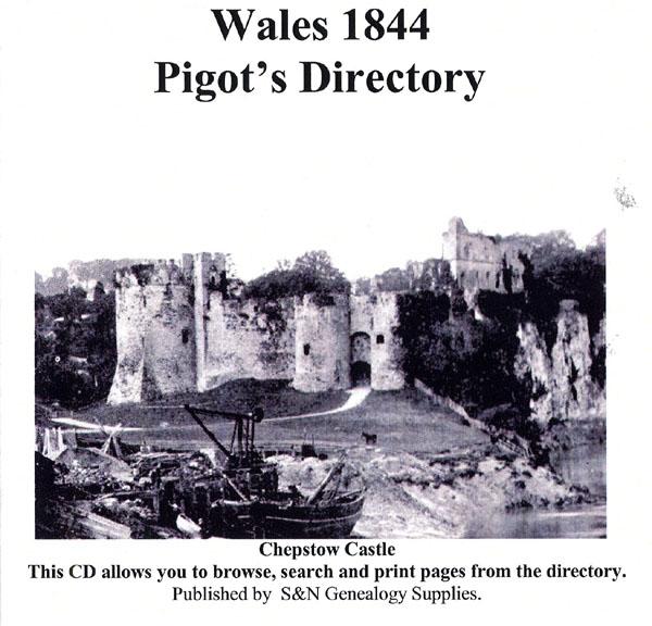
This virtual book CD resource contains the 1844 Pigot's Directory for Wales. It carries local listings of major professions, of nobility, gentry, and clergy, of transport and freight services; and information on the education, public services, and public houses of the area. Towns, villages and parishes are listed with historical and topographical information. A comprehensive directory, this CD gives you valuable insight into Welsh history and enables you to discover more about the lives of your More Info
The Universal British Directory 1793-1798

An abundance of details can be found in these directories providing you with a wealth of facts and research information. The aim of this series was to provide details on every city, town and principal village in England and Wales with regard to clergy, tradesmen and officials. This also includes extensive coverage of trades and businesses with mention of proprietors' names and addresses and information on canals, public roads and facts on places of interest in nearby surroundings. The whole seri More Info
Pigot's 1835 Herefordshire, Leicestershire, Monmouthshire, Rutlandshire, Staffordshire, Warwickshire, Worcestershire, North Wales and South Wales Directory Special Offer
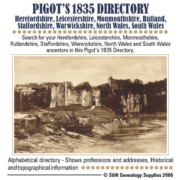
Search for your ancestors in this Pigot's directory. This CD contains descriptions of major county towns, with lists of tradespeople and nobility, gentry and clergy, and general local information. Each county is introduced with a background history. * Alphabetical directory * Shows professions and addresses * Digitally enhanced images of the original text * Searchable * Fully printable... More Info
Crockford's Clerical Directory 1929
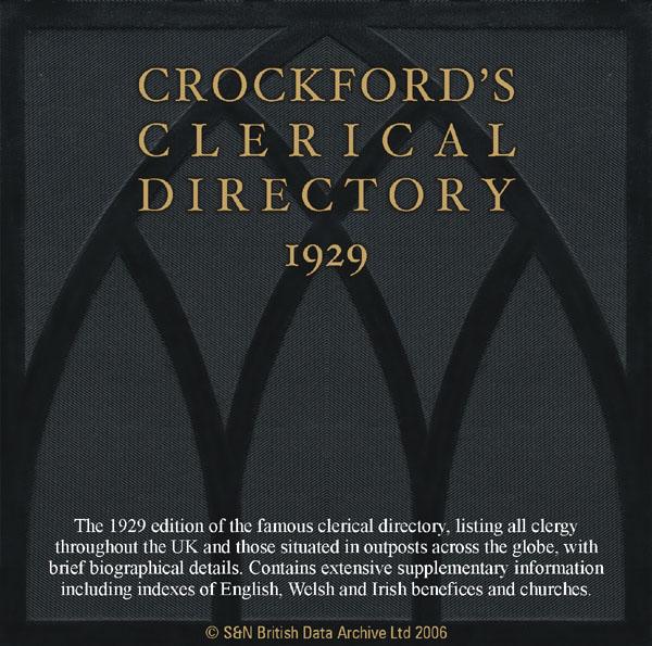
The 1929 edition of the famous clerical directory, listing all clergy throughout the UK and those situated in outposts across the globe, with brief biographical details. This CD contains extensive supplementary information including indexes of benefices and churches from England, Wales and Ireland. * Digitally enhanced images of the original text * Searchable text * Bookmarked by major headings * Fully printable... More Info
Pigot's Historical & Descriptive Account of London & Provincial Towns 1825
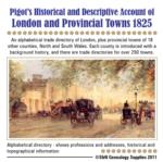
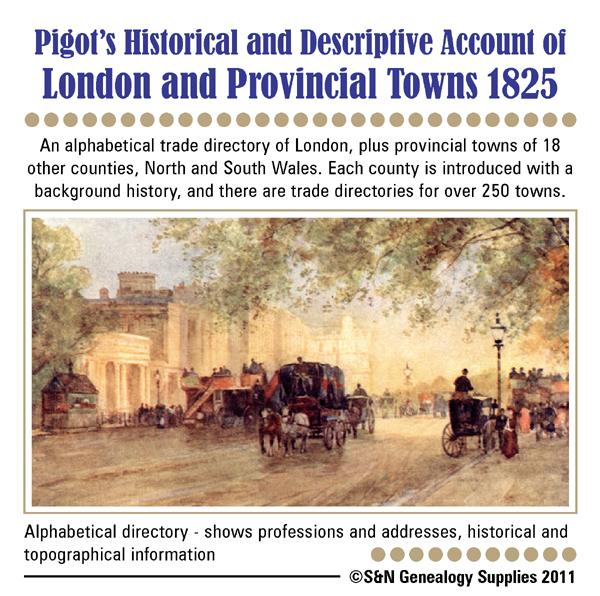
This CD contains an alphabetical trade directory of London, plus provincial towns from 18 counties in England, together with towns in North and South Wales. Each area is introduced with a background history and there are trade directories for over 250 towns. These include Birmingham, Bristol, Cardiff, Manchester, Leeds, Leicester, Liverpool, York and more. Please contact us to see if your area of interest is included. * Digitally enhanced images of the original text * Searchable text * B More Info
Product Code: DIR5951
Can't find what you're looking for? Try using our filter system to narrow down your search.
Available through our sister site GenFair
Local History Records- Vol 67 (2011)
Contents: Days Out by Motor Bus; The Diaries of a Warlingham Golfer; The Carrington Manufacturing Company; History of Coulsdon & Purley Debating Society; Stoats Nest Railway Disaster 1910; Memories of Chelsham and Farleigh; The Macleay family in Godstone and in New South Wales; Friendship Remembered - 'Nobby' Brooker; Souvenirs of Gardner's Pleasure Gardens, Kenley; The British Empire Exhibition, ...More Info
Local History Records - Vol 72 (2012)
Contents: Kathleen Edith Lewis - 1907-2003; A War Bride's Story; Wartime Fire Service in Caterham; John Smith Remembers Caterham; Proposed Developments; The Chipstead Burglars 1835; Ernest Straker - Naturalist, Historian and Photographer; Sir Joseph Lawrence of Kenley; Researching Local History in the Bourne Society Area; John Cooper and the Bootmaking Trade in Croydon; Mr Robertson, Miss Clements...More Info
1873 Owners of Land
This CD is an oddity. In 1873, at the order of Parliament, a survey was made of all owners of land outside the metropolis. This CD contains the full version of the 1871 Owners of Land, which was published by Parliament and acts as a census for the land-owning classes. Far more people than nowadays owned land; often to keep livestock. The purpose is defined by the following extract from frontispiec...More Info
Phillimore Atlas and Index of Parish Registers
2nd edition (1995). Described as 'the most useful single reference work for those tracing ancestry', the main section of the atlas contains maps showing the pre-1832 parish boundaries, colour-coded probate jurisdictions, the starting dates of the surviving registers, and the position of churches and chapels where relevant. And facing each 'parish' map is a topographical map, showing the contempora...More Info