Search Results for: “Worcestershire”
UK Maps Collection


A collection of over 100 maps covering England, Scotland, Ireland and Wales. These high resolution maps can show you how place-names and counties differed from the present day. Contains various printable maps showing towns, counties, and countries in the UK from as early as 1660. More Info
Product Code: GRD36
Can't find what you're looking for? Try using our filter system to narrow down your search.
Available through our sister site GenFair
WORCESTERSHIRE 1787
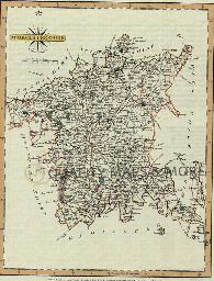
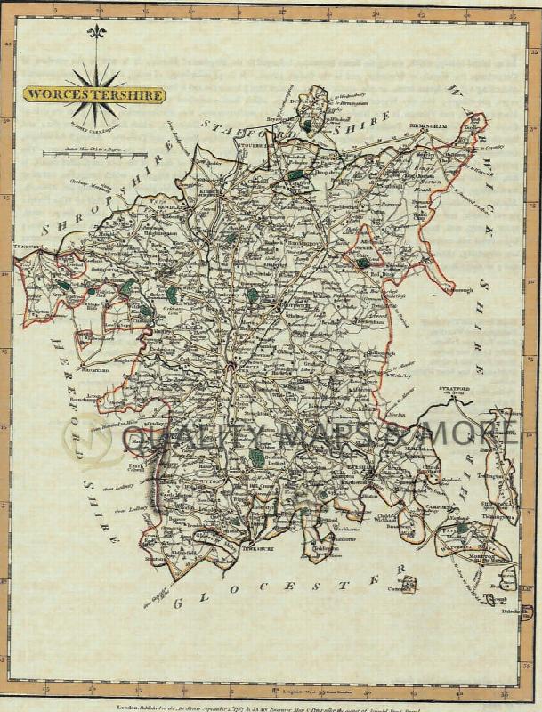
A QUALITY A3 SIZE COLOUR REPRODUCTION FROM JOHN CARY'S 1787 ATLAS WITH DETAILS OF THE COUNTY OVERLEAF. LASER PRINTER ON GOOD QUALITY CARTRIDGE PAPER. SENT FOLDED IN A PLASTIC DISPLAY SLEEVE IN A STIFF CARD ENVELOPE AT THE LARGE LETTER RATE. SCALES VARY
Worcestershire (The King's England)
Arthur Mee's classic pre-WW2 guide to the region's settlements including churches and castles and other historic places – 'The garden in the hills' – with 118 places and 132 pictures.
Catholic Missions and Registers - The Midlands & East Anglia
By Michael Gandy. Providing details of Roman Catholic churches and missions, on a county-by-county basis, with dates of foundation and the dates and location of their records. This volume covers the counties of Bedfordshire, Buckinghamshire, Cambridgeshire, Derbyshire, Huntingdonshire, Leicestershire, Lincolnshire, Norfolk, Northamptonshire, Nottinghamshire, Oxfordshire, Rutland, Shropshire, Staff...More Info
Open History 125, Summer 2013
Newhaven, Sussex, 1837-1887; Hertfordshire's Medical 'Guinea Pigs'; A Yorkshire teacher-training college in the Swinging 60s; What the Open University degree can do for you; report on conference at Farncombe Estate, Worcestershire; Visit to the Gladstone Pottery 16 March 2013