Search Results for: “Anglesey”
UK Maps Collection


A collection of over 100 maps covering England, Scotland, Ireland and Wales. These high resolution maps can show you how place-names and counties differed from the present day. Contains various printable maps showing towns, counties, and countries in the UK from as early as 1660. More Info
Product Code: GRD36
Can't find what you're looking for? Try using our filter system to narrow down your search.
Available through our sister site GenFair
ANGLESEY - 1883
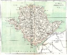
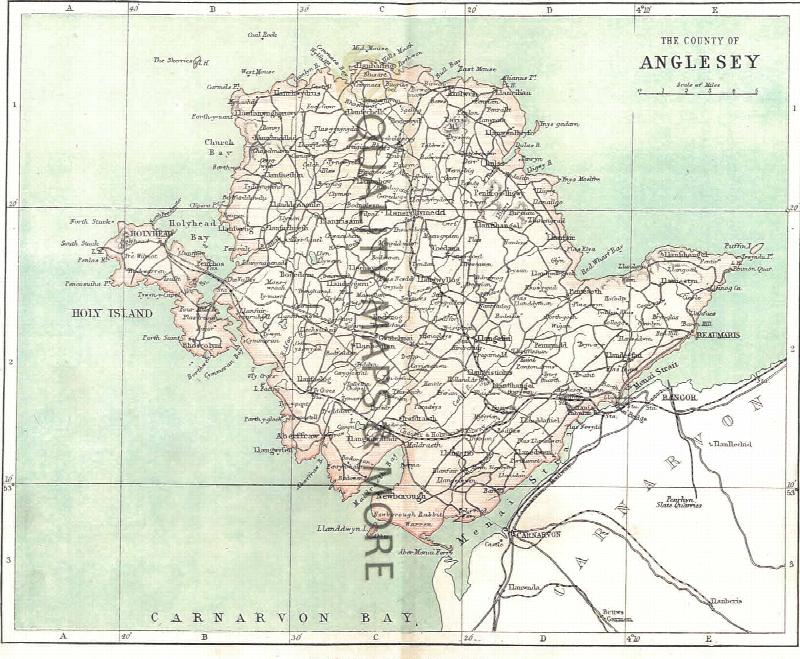
A QUALITY A3 SIZE COLOUR REPRODUCTION FROM AN 1883 ATLAS. LASER PRINTER ON GOOD QUALITY CARTRIDGE PAPER. SENT FOLDED IN A PLASTIC DISPLAY SLEEVE IN A STIFF CARD ENVELOPE AT THE LARGE LETTER RATE. SCALES VARY
WALES North 1787
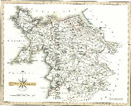
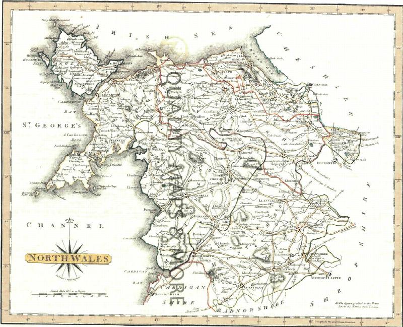
A QUALITY A3 SIZE COLOUR REPRODUCTION FROM JOHN CARY'S 1787 ATLAS FOR THE COUNTIES OF Anglesey, Carnarvon, Denbigh, Flint, Merioneth, Montgomery. LASER PRINTER ON GOOD QUALITY CARTRIDGE PAPER. SENT FOLDED IN A PLASTIC DISPLAY SLEEVE IN A STIFF CARD ENVELOPE AT THE LARGE LETTER RATE. SCALES VARY [WATERMARKS WILL NOT APPEAR ON PURCHASES]
PS90 Compleat Parish Officer 1734
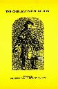
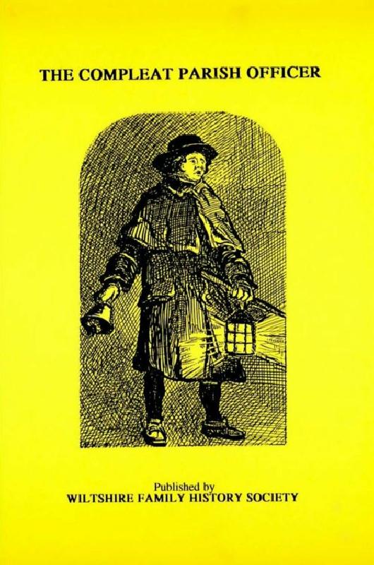
Reprint of a guide for parish officers to deal with complex poor laws and social problems. A5 104p
PS91 Handy Book of Parish Law
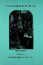
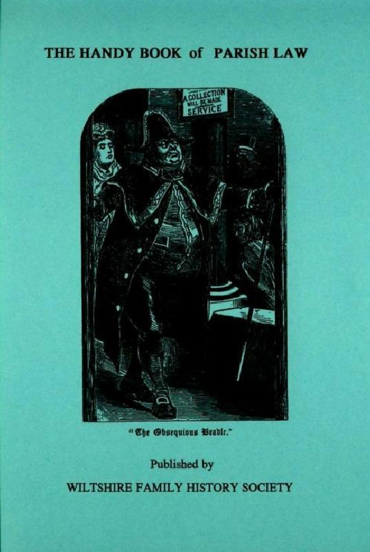
Reprint of a 3rd Ed. (1872) of a book dealing with many aspects of law affecting the parish and its officers. A5 112p