S&N Tri-County CD of Devon, Norfolk and Warwick
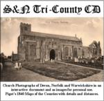
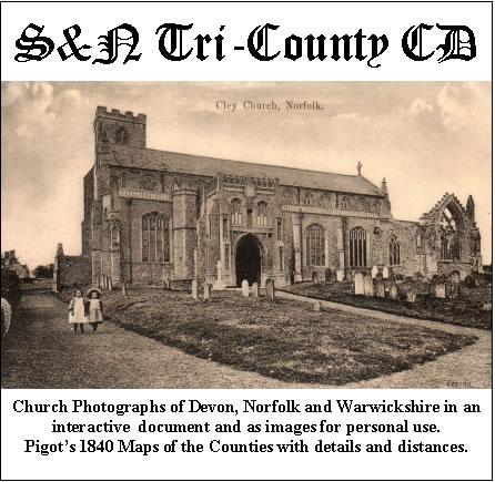
Church photographs of Devon, Norfolk, and Warwickshire in an interactive document and as images for personal use; Pigot's 1840 maps of the counties with details and distances... More Info
Product Code: GRD30
The Genealogists' Atlas Of Lancashire Circa. 1930 Free UK P&P
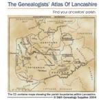
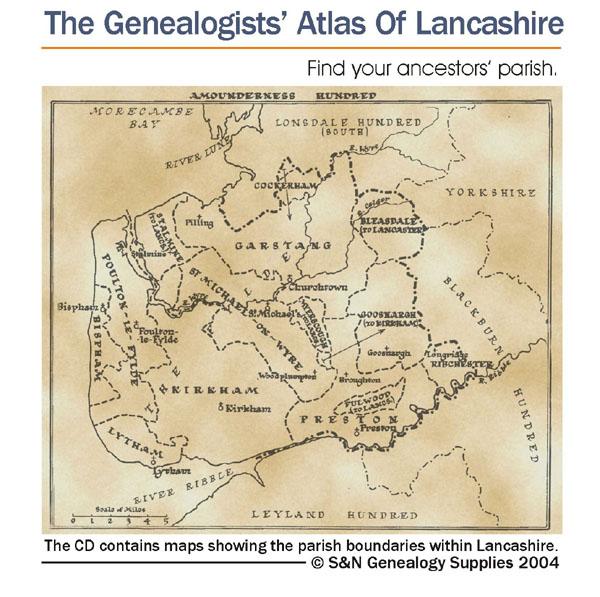
This CD is fully bookmarked and allows you to search through the parishes to help find your ancestors' parish. It contains maps of parishes and townships and lists of non-parochial registers.... More Info
Suffolk, The Homeland Handbooks - Bury St. Edmund's, with its Surroundings - 1907 Ordnance Map Special Offer Free UK P&P
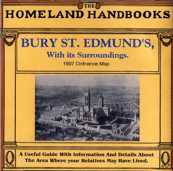
This guide provides invaluable background information on Bury St. Edmund's, with its Surroundings in the 1900's. This official council guide has maps, photographs and illustrations. It covers the history, traditions, worthies, antiquities and literary associations. This CD is a useful guide with information and details about the area where your relatives may have lived. *Digitally enchanced images of the original text *Includes maps, photographs and illustrations *Searchable by whole or pa... More Info
Surrey, The Homeland Handbooks - Haslemere and Hindhead - The Hill Country of the Surrey Borderland. Ordnance Map (Approx 1918) Special Offer
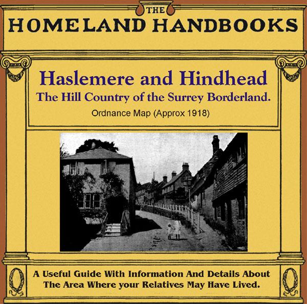
This guide provides invaluable background information on Haslemere and Hindhead in the 1900's. This official council guide has maps, photographs and illustrations. It covers the history, traditions, worthies, antiquities and literary associations. This is a useful guide with information and details about the area where your relatives may have lived. *Digitally enhanced images of the original text * Includes maps, photographs and illustrations * Bookmarked by major headings *Fully printable... More Info
Northamptonshire, The Homeland Handbooks - Northampton with its surroundings (Approx. 1910)
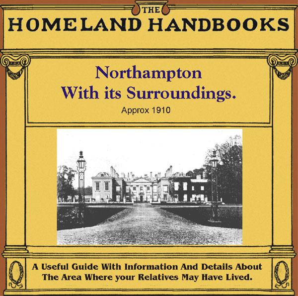
This guide provides invaluable background information on Northampton with its surroundings in the 1900's. This official council guide has maps, photographs and illustrations. It covers the history, traditions, worthies, antiquities and literary associations. This is a useful guide with information and details about the area where your relatives may have lived. *Digitally enhanced images of the original text *Includes maps, photographs and illustrations *Bookmarked by major headings *Fully p... More Info
The National Gazetteer of Great Britain and Ireland for 1868 Special Offer

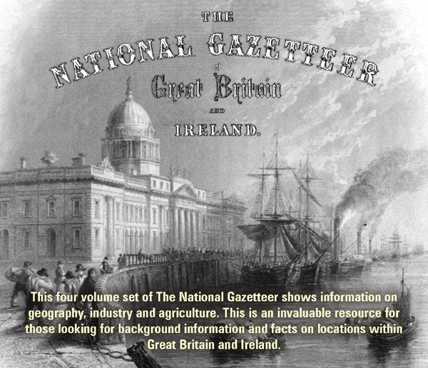
This four volume set of The National Gazetteer shows information on geography, industry and agriculture. This is an invaluable resource for those looking for background information and facts on locations within Great Britain and Ireland. *Digitally enhanced images of the original text *Searchable *Includes colour maps *Bookmarked alphabetically *Fully printable... More Info
London, Philips' A.B.C. Pocket Atlas-Guide to London (c.1915) Special Offer
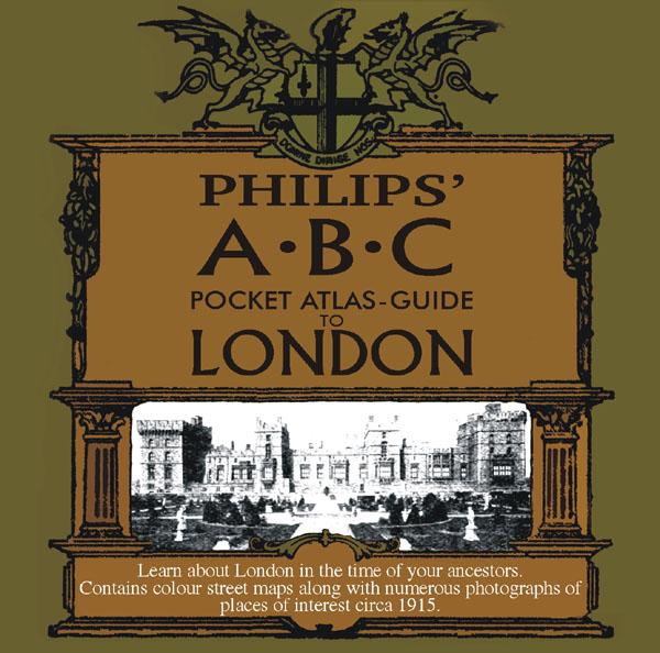
Learn about London in the time of your ancestors. Contains colour street maps along with numerous photographs of places of interest circa 1915. * Digitally enhanced images of the original text * Searchable text * Bookmarked by major headings * Fully printable... More Info
Surrey, The Homeland Handbooks - Guildford 1904 Special Offer
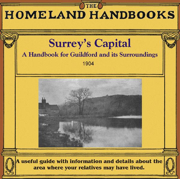
This guide provides invaluable background information on Guildford in the 1900s. This official council guide has maps, photographs and illustrations. It covers the town's history, traditions, worthies, antiquities and literary associations. This CD is a useful guide with information and details about the area where your relatives may have lived. *Digitally enchanced images of the original text *Includes maps, photographs and illustrations *Searchable by whole or part name *Bookmarked by ... More Info
London, Handy Map of London (c.1890)
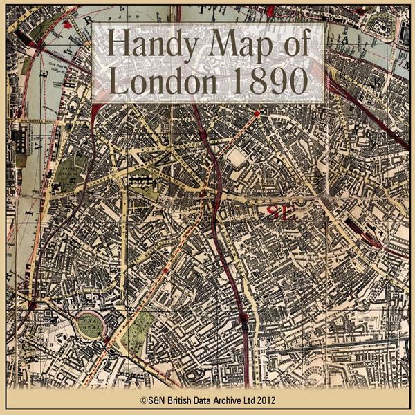
This CD contains a high resolution map of London circa 1890. This is ideal for seeing where your ancestors lived in late Victorian times, and for looking at streets which may no longer exist. The map is highly detailed and includes street names, parks, railways, railway stations, steamer routes, and omnibus and tramway routes. * Digitally enhanced images of the original map * Large colour map * Bookmarked for easy viewing * Fully printable... More Info
Product Code: GRD6105
Can't find what you're looking for? Try using our filter system to narrow down your search.