Search Results for: “London”
A Map of XVII Century England Special Offer
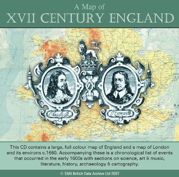
This CD contains a large, full colour map of England and a map of London and its environs c.1660. Accompanying these is a chronological list of events that occurred in the early 1600s with sections on science, art and music, literature, history, archaeology and cartography. *Digitally enhanced images of the original text *Searchable text *Bookmarked by major headings *Fully printable *Includes large full colour map *Contains over 25 pages... More Info
Can't find what you're looking for? Try using our filter system to narrow down your search.
Available through our sister site GenFair
RA36 A Guide To London And Middlesex Genealogy And Records
((6th edition, March 2007), by Cliff Webb. This new edition has been expanded to include references to websites and URLs as well as the sources included in the previous editions of the Guide. With 12 more pages than the last edition published in 2005, we are pleased to be able to offer it at the same price as the 5th edition. 68 pages. A5.
RA 02. Pre-1837 Parish Boundaries in Suburban London
This A3-size map (folded to A5) compliments the county parish maps produced by the Institute of Heraldic and Genealogical Studies, Canterbury. The main use is in planning a search pattern if an ancestor does not turn up in the expected parish. 3rd edition (1996). Map.
RA 38. A guide to London and Middlesex Manorial Records
(2nd edition September 2006) compiled by Cliff Webb. Completely revised and updated, this edition runs to another 20 pages of information. 36 pages, A5
CD 21 AN INDEX TO THE ASSOCIATION OATH ROLLS for the CITY OF LONDON, 1696. Nov 2010
First published in 2006 in book form as RS 40 (compiled by Cliff Webb) and including nearly 22,000 names.‘The rolls are a very useful inhabitants’ list and seem to survive fairly complete mainly in class C213 in the National Archives, Kew’.
London (The King's England)
Arthur Mee's classic pre-WW2 guide to the region's settlements including churches and castles and other historic places – 'Heart of the British empire and wonder of the world' – with 200 pictures.