Search Results for: “Cardiganshire”
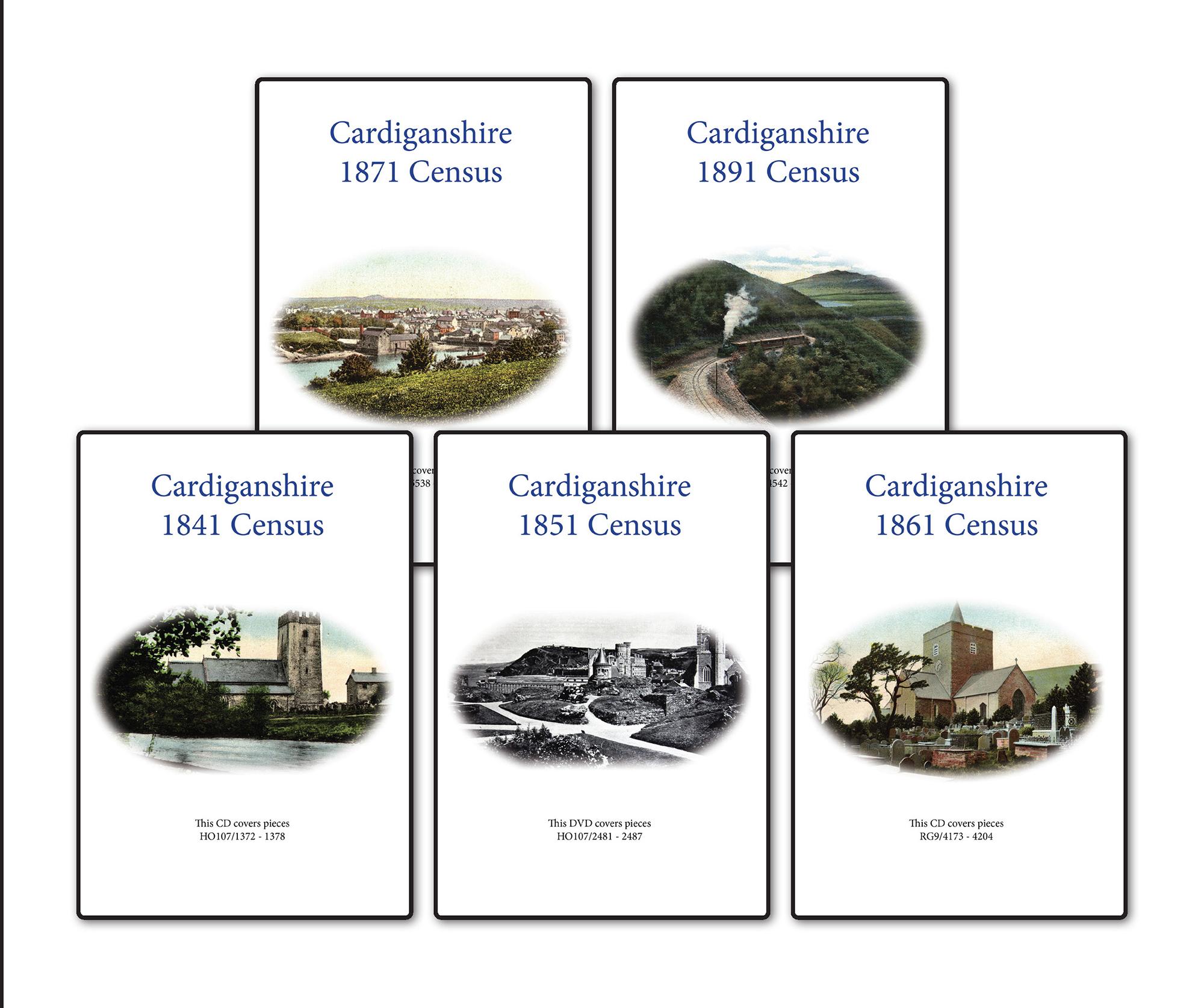
Cardiganshire 1891 Census Special Offer
This is the original Census information digitised from high quality microfilm and scanned several times to provide the best possible images. Supplied on CD as PDF documents with Street and Area Indexes.... More Info
Cardiganshire 1901 Census Special Offer
This is the original Census information digitised from high quality microfilm and scanned several times to provide the best possible images. Supplied on DVD as PDF documents with Street and Area Indexes. ... More Info
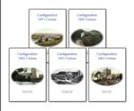
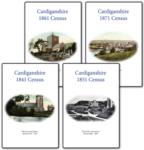
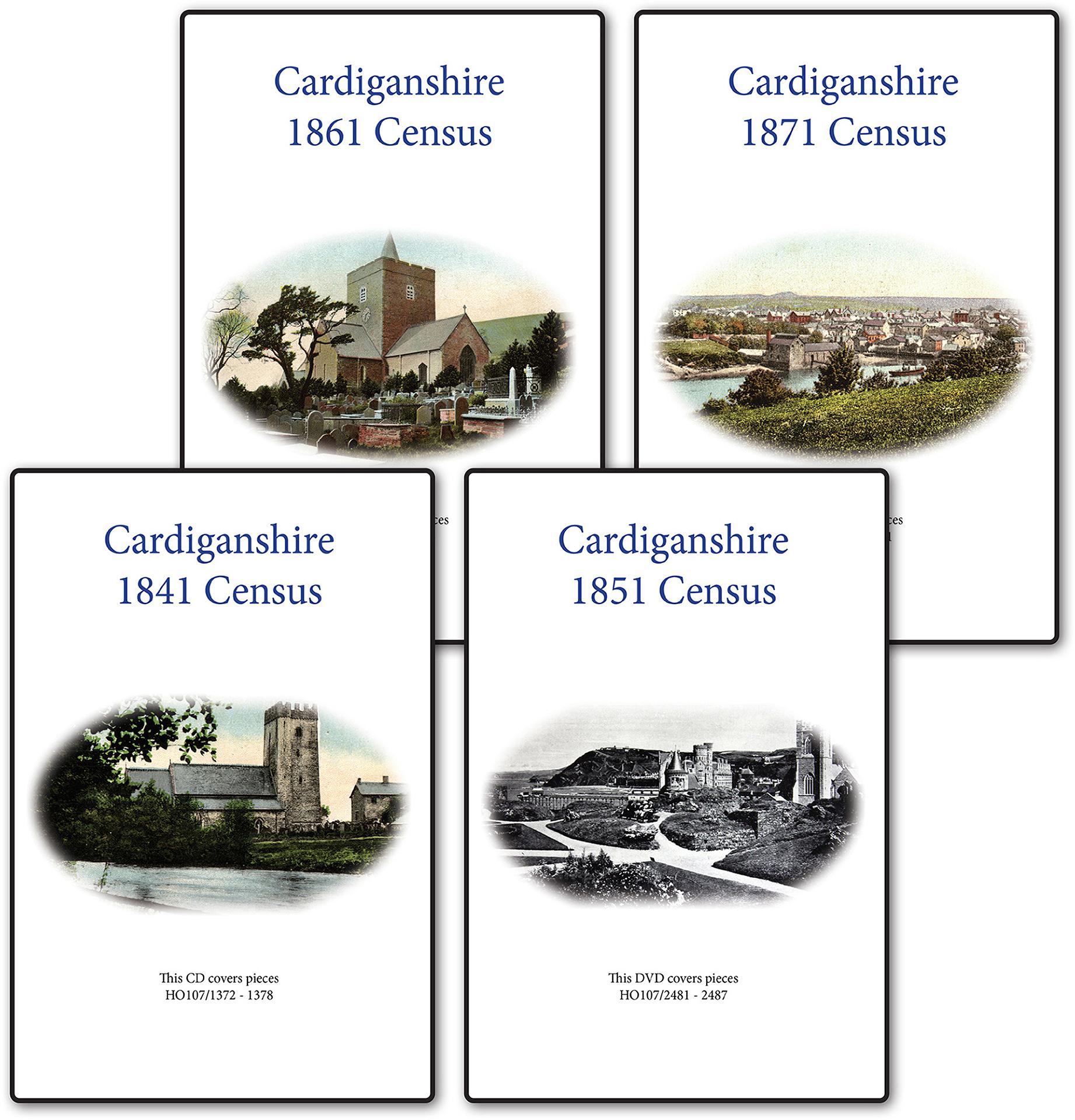
Cardiganshire 1871 Census Special Offer
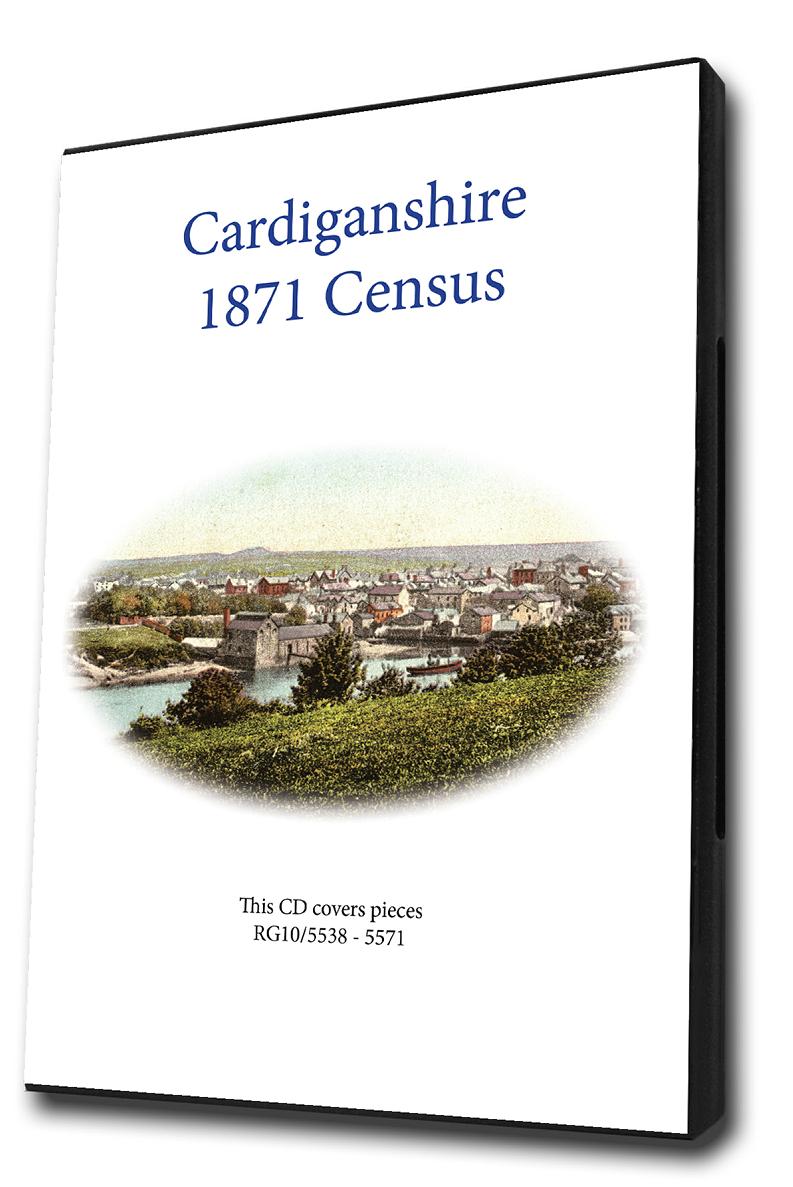
This is the original Census information digitised from high quality microfilm and scanned several times to provide the best possible images. Supplied on CD as PDF documents with Street and Area Indexes.... More Info
Cardiganshire 1861 Census Special Offer
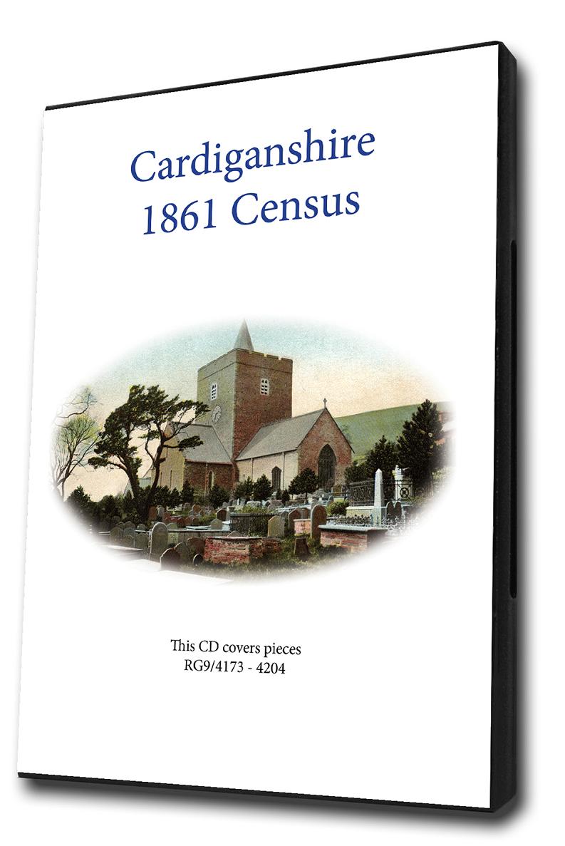
This is the original Census information digitised from high quality microfilm and scanned several times to provide the best possible images. Supplied on CD as PDF documents with Street and Area Indexes.... More Info
Cardiganshire 1851 Census Special Offer
This is the original Census information digitised from high quality microfilm and scanned several times to provide the best possible images. Supplied on DVD as PDF documents with Street and Area Indexes. ... More Info
Cardiganshire 1841 Census Special Offer
This is the original Census information digitised from high quality microfilm and scanned several times to provide the best possible images. Supplied on DVD as PDF documents with Street and Area Indexes. ... More Info
Cardiganshire Census Bundle - 1841, 1851, 1861, 1871 and 1891 Special Offer
This Census bundle contains the sets for the years 1841,1851,1861,1871 and 1891. Each set consists of a pack of PDF documents which contain census page images indexed by street and area. ... More Info
Cardiganshire Census Bundle - 1841, 1851, 1861 and 1871 Special Offer
This Census bundle contains the sets for the years 1841,1851,1861 and 1871. Each set consists of a pack of PDF documents which contain census page images indexed by street and area.... More Info
Cardiganshire Census Bundle - 1841, 1851, 1861, 1871, 1891 and 1901 Special Offer

This Census bundle contains the sets for the years 1841,1851,1861,1871,1891 and 1901. Each set consists of a pack of which contain census page images indexed by street and area.... More Info
Holden's Annual Directory 1811

Search for your relatives in this directory which contains thousands of residents and professionals with addresses. This directory covers London (professions/trades and residents), also including professions and trades in other selected towns throughout Great Britain. This CD is bookmarked by three major headings: 'London, Professional' which contains alphabetical listings of surnames with addresses, 'London, Private' which lists residents' surnames with addresses and 'United Kingdom Direc... More Info
Wales, North Wales 1828-9 & South Wales 1830 Directory
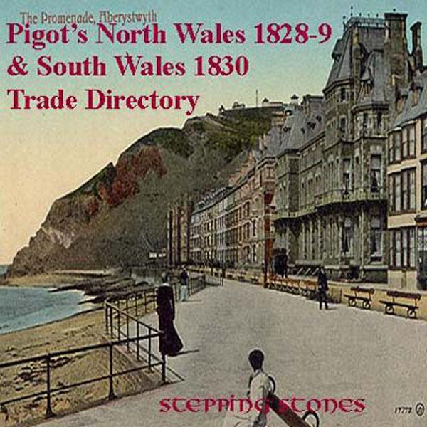
Stepping Stones CD publication. Contents of 1828-29 North Wales and 1830 South Wales North Wales 1828-9: Aberconway Abergele Amlwch Bala Bangor Barmouth Beaumaris Caerwys Carnarvon Corwen Denbigh Harlech Hawarden Holyhead Holywell and Bagillt Llanerchymedd Llanfair Llanfyllin Llanrhaiardr-Y-Mochnant Llangefni Llangollen Llanidloes Llanrwst Machynlleth Mold Montgomery Newton and Kerry Pwllheli and Nevin Ruthin St Asaph Towyn and Aberdovey Tre-Madoc and Port Madoc ... More Info
Can't find what you're looking for? Try using our filter system to narrow down your search.
Available through our sister site GenFair
Lampeter, Tregaron & District (1909)
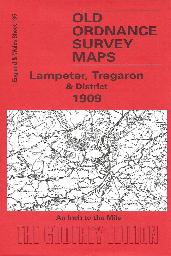
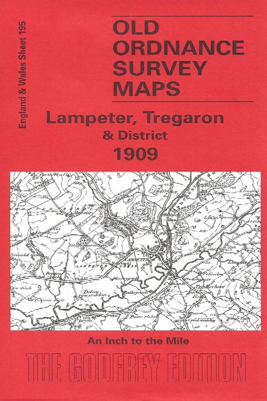
Sheet 195 - This Inch to the Mile map is split between Cardiganshire and Carmarthenshire, with Lampeter near the left centre of the map. The only other town is Tregaron. Coverage stretches from Llanybyther eastward to Pen y Gurnos, and from Tregaron southward to Dolaucothy. The 'Manchester & Milford Section' railway runs through the map, while to the east is a more remote, wilder area, the Cambria...More Info
Aberporth, Llangranog and District (1909)
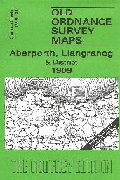
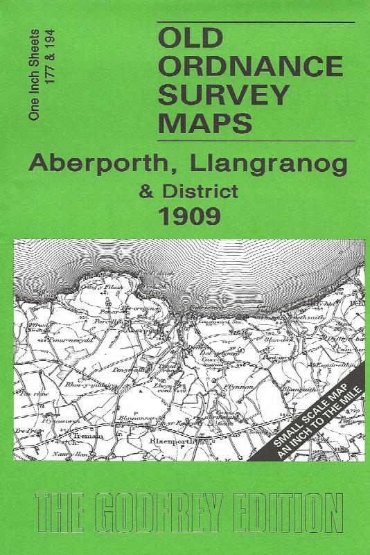
Sheet 177/194 - These One Inch to the Mile maps, which we include together, cover much of SW Cardiganshire. Coverage stretches from Aberayron southward to Cenarth (and just north of Newcastle Emlyn), and from Llechryd eastward to Dilhewid and Ciliau-Aeron. There is a good section of the Cardigan coast, including New Quay, and on the back are included more detailed maps of two small ports: Llangran...More Info
Cardigan & District (1909)
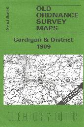
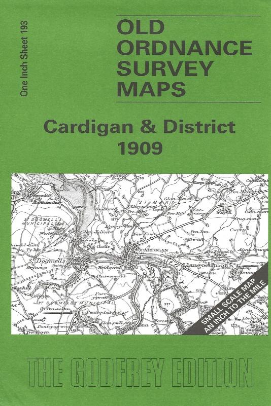
Sheet 193 - This Inch to the Mile map covers the coastal area of Cardiganshire and Pembrokeshire around Cardigan and St Dogmells. Coverage stretches from Pen-y-Bal and Moylgrove eastward to Cilgerran and Llangoedmor. There is, alas, rather a lot of sea on this map, but added interest is given on the reverse where we include an extract from Pembrokeshire Sheet 3.04, covering Llechryd in 1904, compl...More Info
Newquay Town Plan (1904)
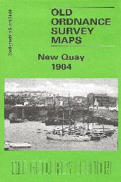
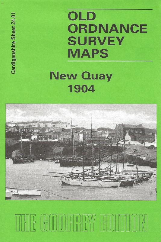
Sheet 24.01 - This detailed map covers the small Cardiganshire resort and harbour of New Quay. Features include the harbour, New Quay Head, the streets and houses of the town centre, St Llwchaiarn's church, Towyn Chapel, and many outlying houses. Coverage extends a mile west to the coast of Craig Grogal. New Quay is a small town and in 1901 its population was just 1,234. It had already begun to de...More Info
Aberaeron Town Plan (1904)
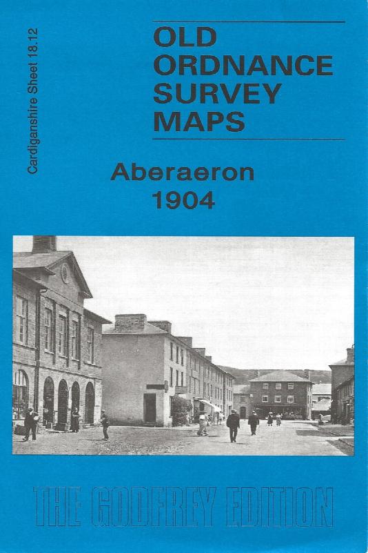
Sheet 18.12 - This detailed map covers the small Cardiganshire town of Aberaeron (or Aberayron) which in 1904 was in the twilight years of its prosperity as a port. The town spans the parishes of Llandewi Aberarth Lower and Henfynyw Lower. The town is shown here in detail, including individual houses, and features include the Workhouse, breakwaters, Pant-teg, Pen y Gloyn, quarries, Goetre etc. On ...More Info