Search Results for: “Carmarthenshire”
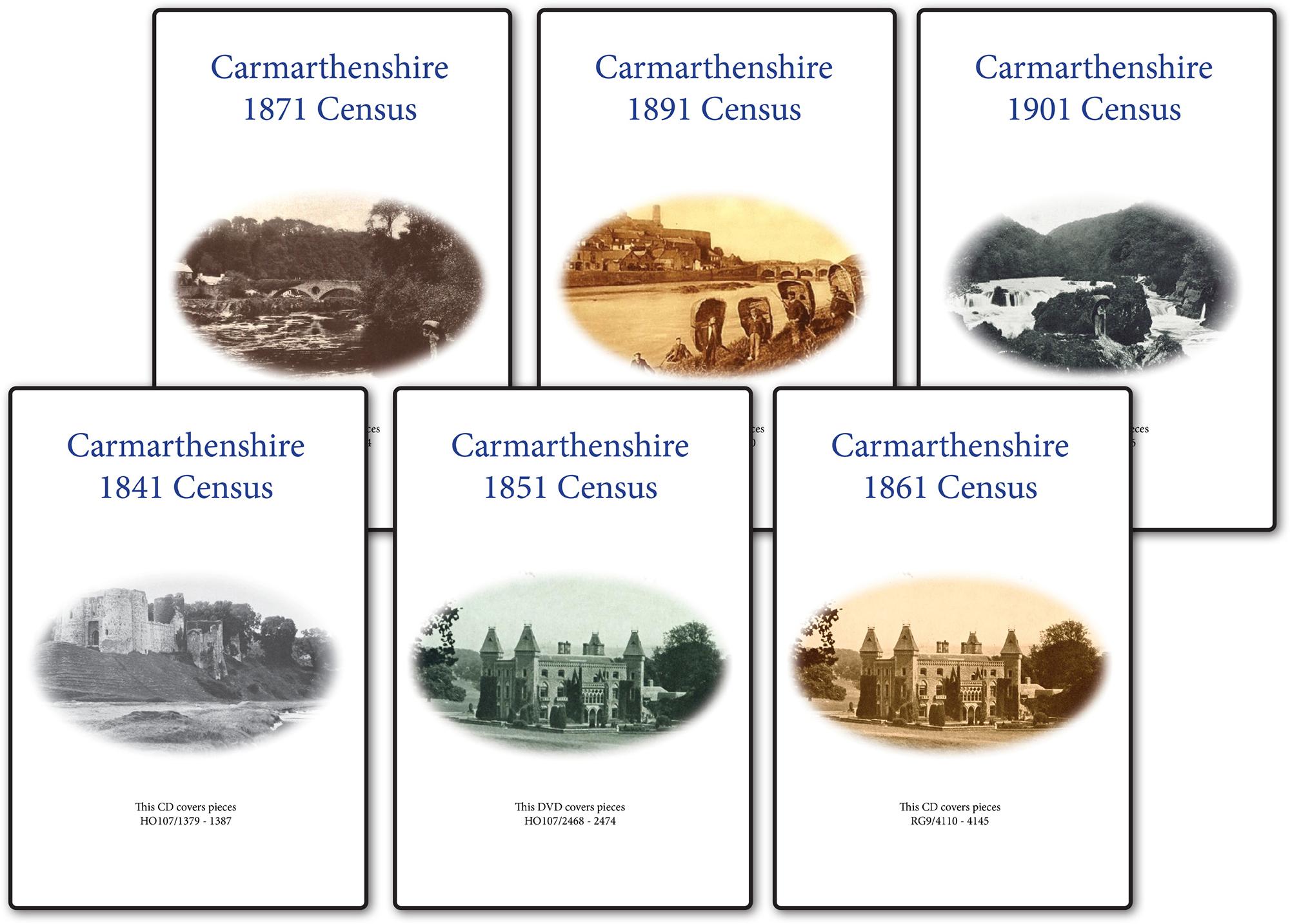
Carmarthenshire 1891 Census Special Offer

This is the original Census information digitised from high quality microfilm and scanned several times to provide the best possible images. Supplied on CD as PDF documents with Street and Area Indexes.... More Info
Carmarthenshire 1901 Census Special Offer
This is the original Census information digitised from high quality microfilm and scanned several times to provide the best possible images. Supplied on DVD as PDF documents with Street and Area Indexes. ... More Info
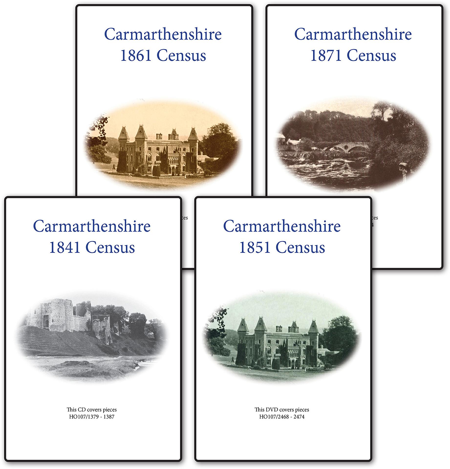
Carmarthenshire 1871 Census Special Offer

This is the original Census information digitised from high quality microfilm and scanned several times to provide the best possible images. Supplied on CD as PDF documents with Street and Area Indexes.... More Info
Carmarthenshire 1861 Census Special Offer

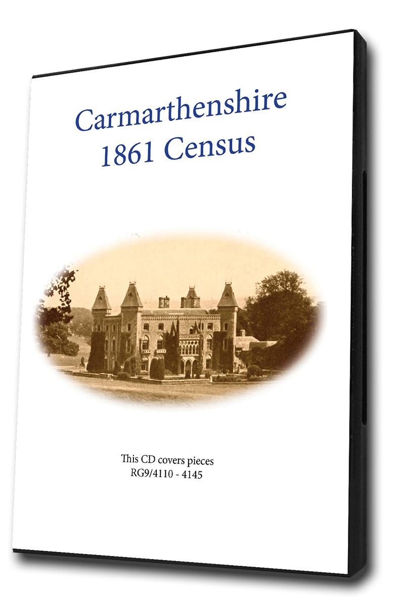
This is the original Census information digitised from high quality microfilm and scanned several times to provide the best possible images. Supplied on CD as PDF documents with Street and Area Indexes.... More Info
Carmarthenshire 1851 Census Special Offer
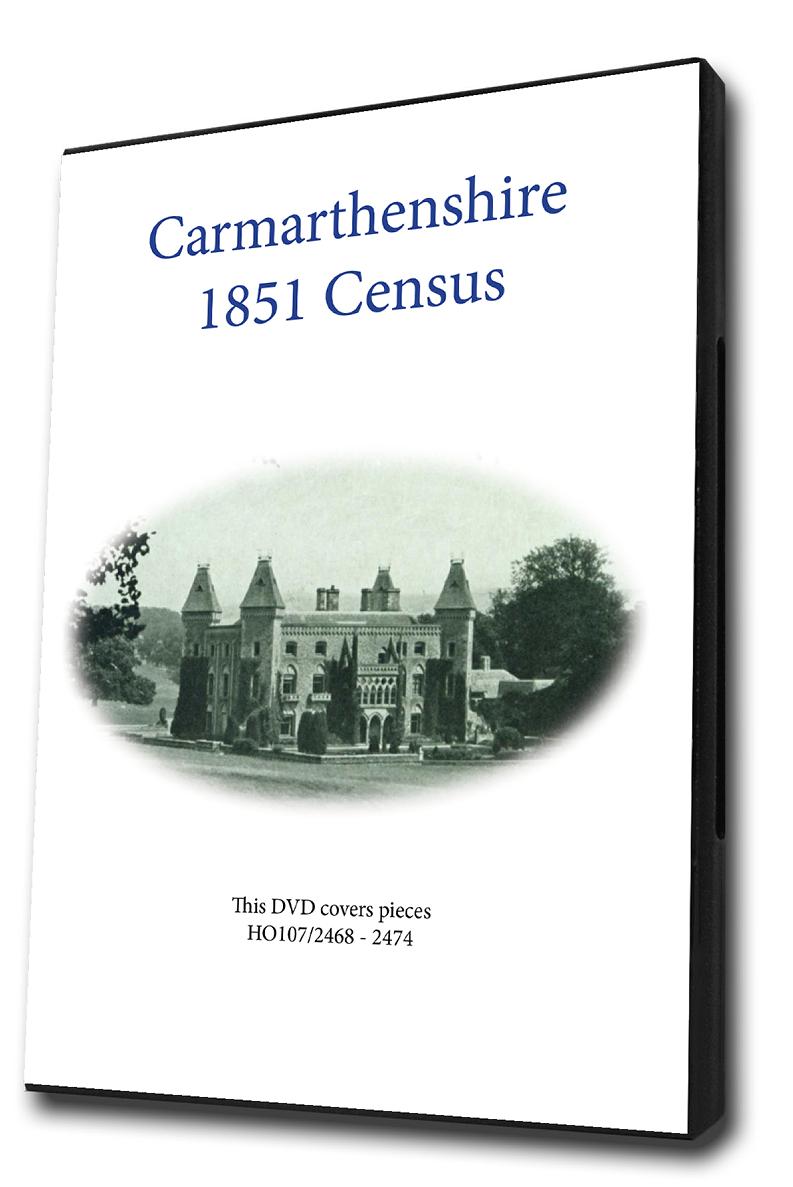
This is the original Census information digitised from high quality microfilm and scanned several times to provide the best possible images. Supplied on DVD as PDF documents with Street and Area Indexes. ... More Info
Carmarthenshire 1841 Census Special Offer
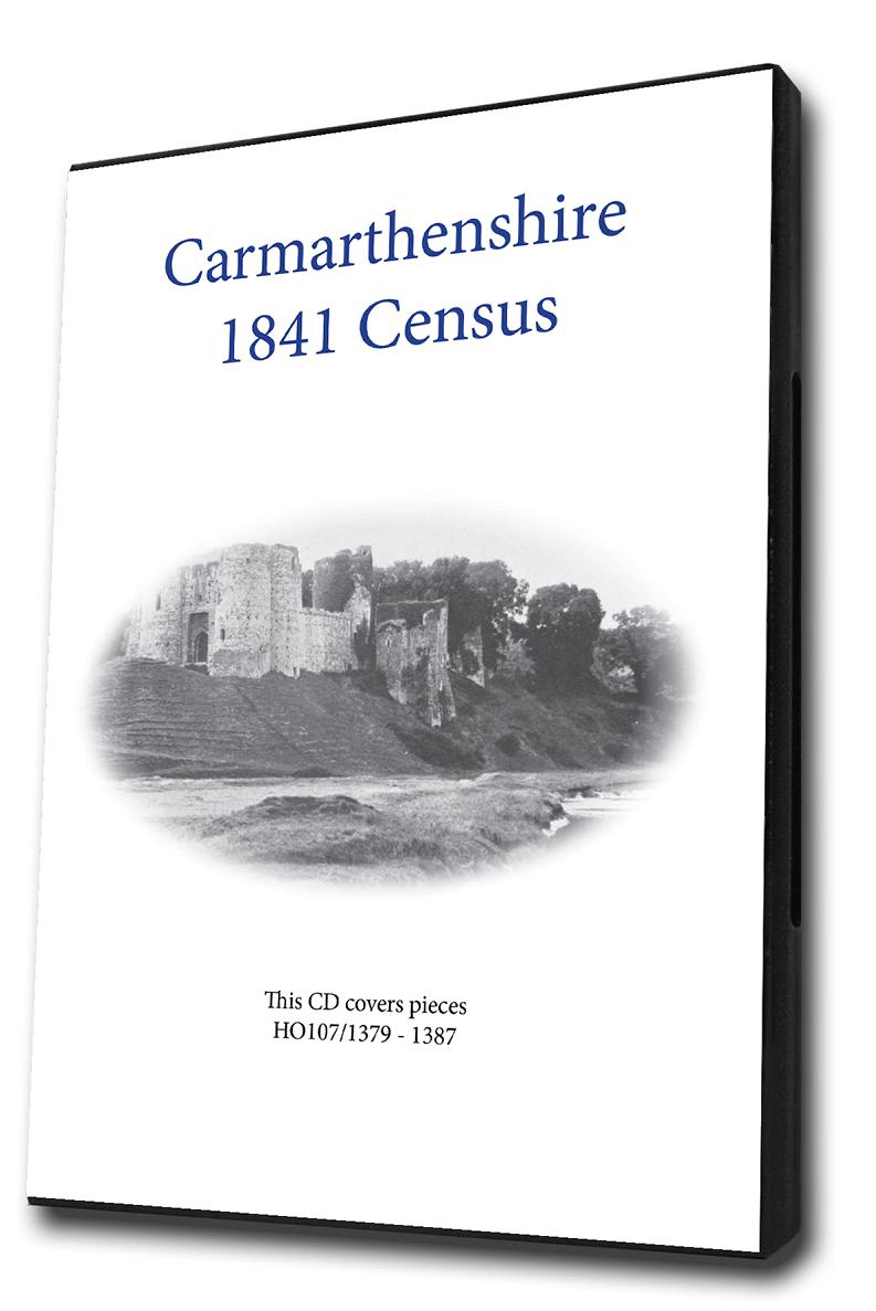
This is the original Census information digitised from high quality microfilm and scanned several times to provide the best possible images. Supplied on CD as PDF documents with Street and Area Indexes.... More Info
Carmarthenshire Census Bundle - 1841, 1851, 1861, 1871 and 1891 Special Offer
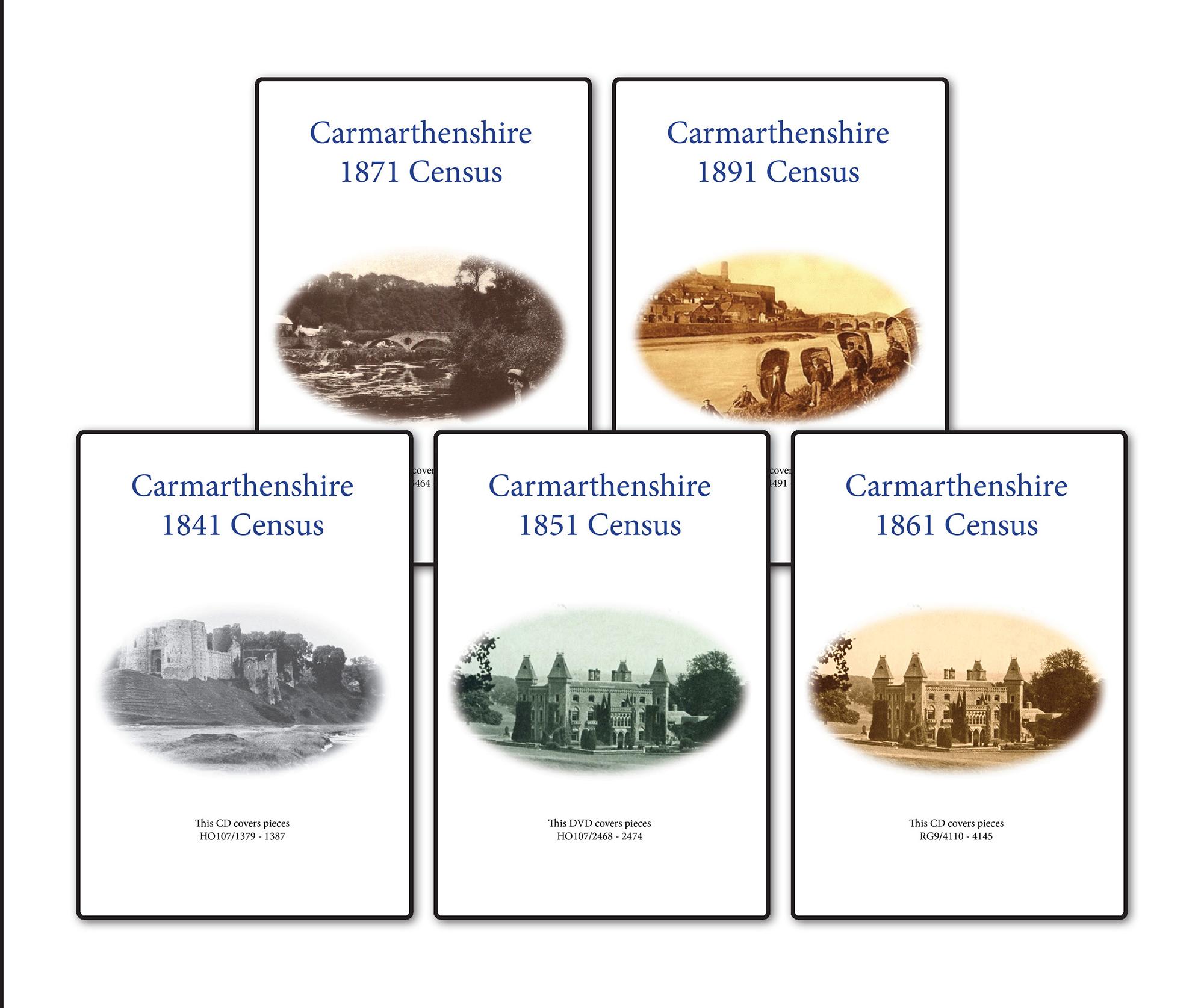
This Census bundle contains the sets for the years 1841,1851,1861,1871 and 1891. Each set consists of a pack of PDF documents which contain census page images indexed by street and area. ... More Info
Carmarthenshire Census Bundle - 1841, 1851, 1861 and 1871 Special Offer
This Census bundle contains the sets for the years 1841,1851,1861 and 1871. Each set consists of a pack of PDF documents which contain census page images indexed by street and area.... More Info
Carmarthenshire Census Bundle - 1841, 1851, 1861, 1871, 1891 and 1901 Special Offer
This Census bundle contains the sets for the years 1841,1851,1861,1871,1891 and 1901. Each set consists of a pack of which contain census page images indexed by street and area.... More Info
Can't find what you're looking for? Try using our filter system to narrow down your search.
Available through our sister site GenFair
Lampeter, Tregaron & District (1909)
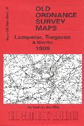
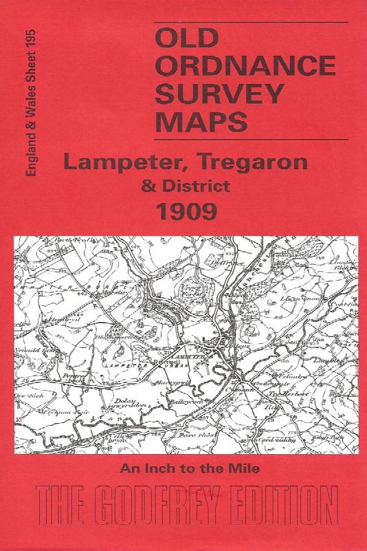
Sheet 195 - This Inch to the Mile map is split between Cardiganshire and Carmarthenshire, with Lampeter near the left centre of the map. The only other town is Tregaron. Coverage stretches from Llanybyther eastward to Pen y Gurnos, and from Tregaron southward to Dolaucothy. The 'Manchester & Milford Section' railway runs through the map, while to the east is a more remote, wilder area, the Cambria...More Info
Lampeter Town Plan (1904)
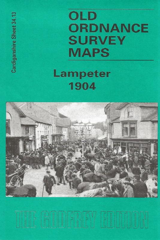
Sheet 34.13 - This detailed map covers the small town of Lampeter, which in 1820 had been chosen as the site of St David's College, today part of the University of Wales. Lampeter was also a significant agricultural centre, and a collecting point for drovers. In 1901, it had a population of 1,722. Our map shows the town centre in some detail, and other features include the railway station, Workhou...More Info
Some Travellers in the 1891 Census - 4
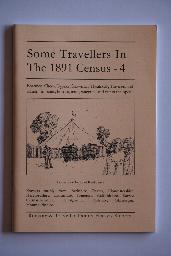
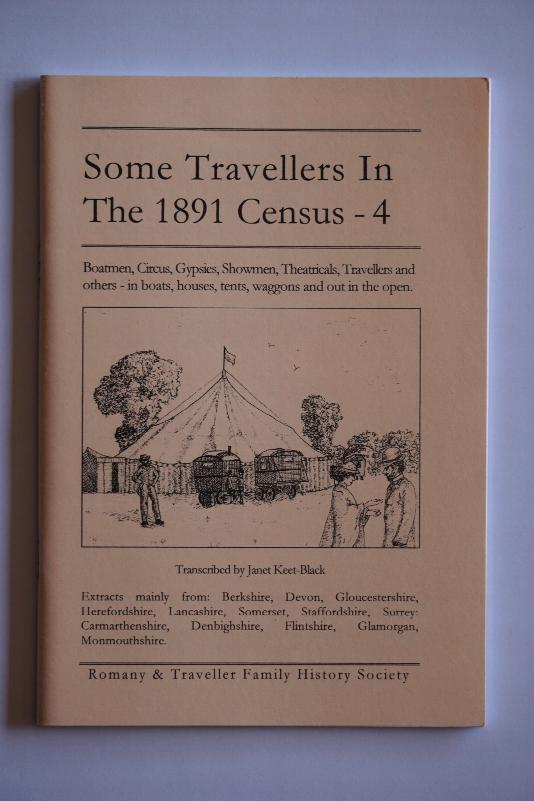
By Janet Keet-Black. Boatmen, Circus, Gypsies, Photographers, Showmen, Theatricals - extracted from Berkshire, Cornwall, Devon, Gloucestershire, Hampshire, Herefordshire, Lancashire, Oxfordshire, Somerset, Staffordshire, Surrey, Carmarthenshire, Denbighshire, Flintshire, Glamorganshire, Monmouthshire. Transcribed in "as enumerated" format with a surname index. 60 pages.
PS90 Compleat Parish Officer 1734
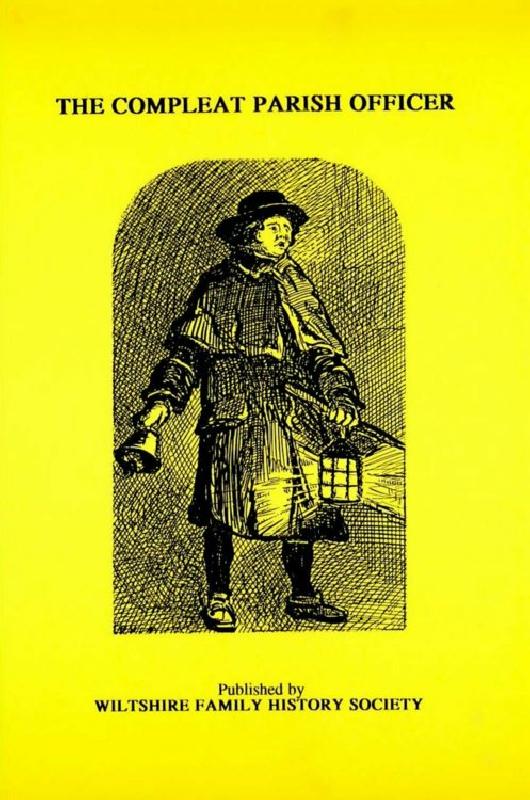
Reprint of a guide for parish officers to deal with complex poor laws and social problems. A5 104p
PS91 Handy Book of Parish Law
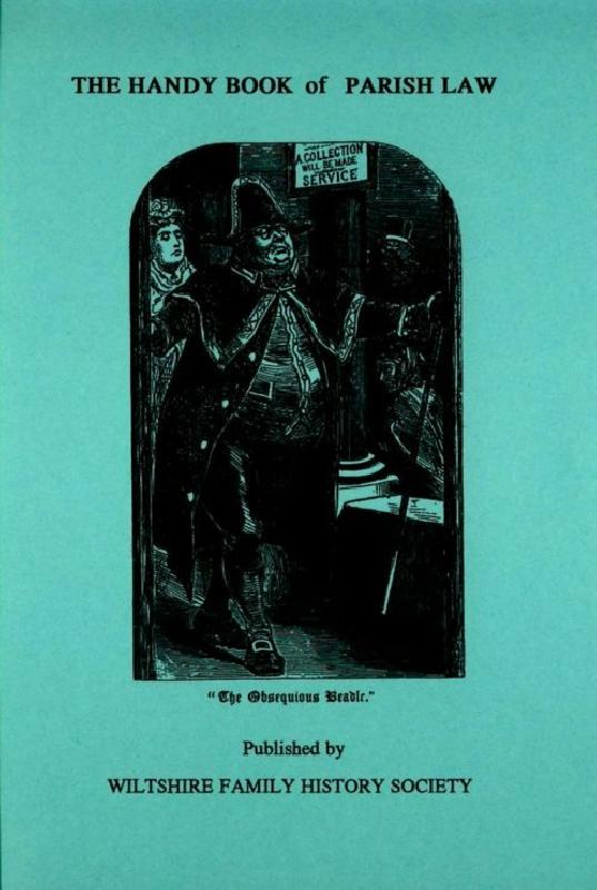
Reprint of a 3rd Ed. (1872) of a book dealing with many aspects of law affecting the parish and its officers. A5 112p