Search Results for: “Derbyshire”
UK Maps Collection


A collection of over 100 maps covering England, Scotland, Ireland and Wales. These high resolution maps can show you how place-names and counties differed from the present day. Contains various printable maps showing towns, counties, and countries in the UK from as early as 1660. More Info
Product Code: GRD36
Derbyshire, Buxton c.1890 Map CD Special Offer
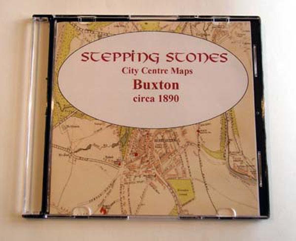
Stepping Stones publication Buxton c.1890 Map CD... More Info
Can't find what you're looking for? Try using our filter system to narrow down your search.
Available through our sister site GenFair
Lichfield Diocese Marriage Licence Bonds & Allegations
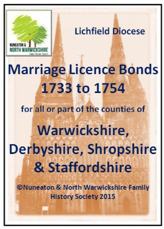
Transcribed index 1733-1754: over 19,000 items. These bonds and allegations can prove vital especially if a marriage cannot be located yet other sources seem to confirm a marriage had taken place.