Search Results for: “Derbyshire”
Please note that not all our products are available as downloads. Click here to see both download and physical products.
Derbyshire, The Peak 1894 Special Offer

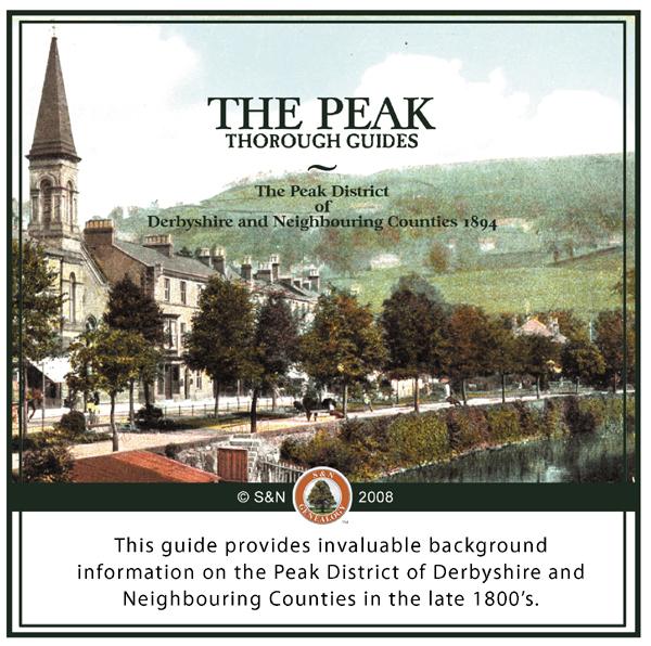
This guide provides invaluable background information on the Peak District of Derbyshire and Neighbouring Counties in the late 1800's accompanied by several maps. *Digitally enhanced images of the original text *Searchable text *Bookmarked by major headings *Fully printable... More Info
Domesday Records for Yorkshire, Derbyshire, Nottinghamshire, Rutlandshire, & Lincolnshire 1086 Special Offer
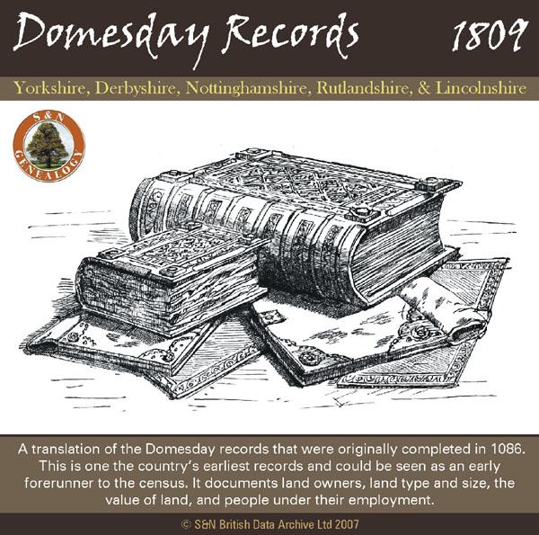
A translation of the Domesday records that were originally completed in 1086. This is one the country's earliest records and could be seen as an early forerunner to the census. It documents land owners, land type and size, the value of land, and people under their employment. *Digitally enhanced images of the original text *Searchable text *Bookmarked by major headings *Fully printable *Contains over 730 pages... More Info
Sherwood Foresters, Nottinghamshire and Derbyshire Regiment 1936 Special Offer
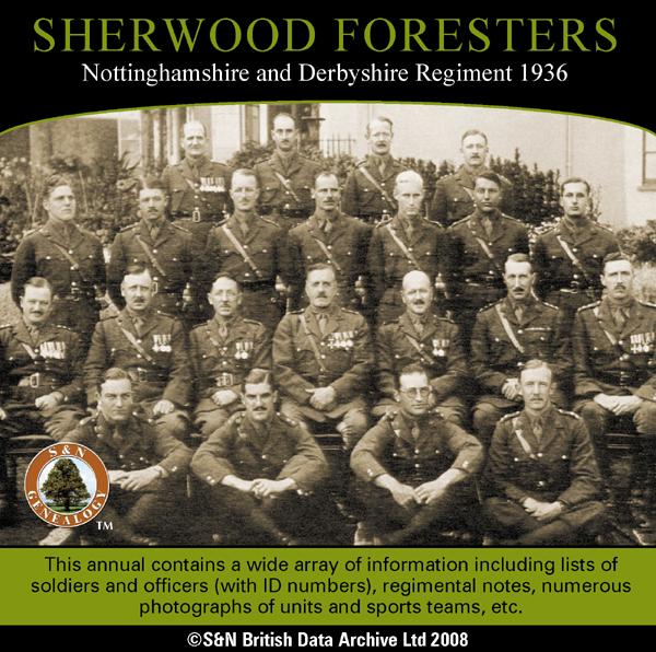
This annual contains a wide array of information including lists of soldiers and officers (with ID numbers), regimental notes, numerous photographs of units and sports teams with text identifying each individual pictured, etc. Also contains some BMD information, sporting results, parades, and background information on conditions at battalion postings. *Digitally enhanced images of the original text *Searchable text *Bookmarked by major headings *Fully printable... More Info
Derbyshire, The History of Chesterfield 1839 Special Offer
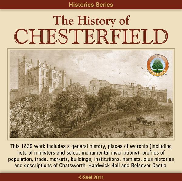
This 1839 book includes a general history, places of worship (including lists of ministers and select monumental inscriptions), profiles of population, trade, markets, buildings, institutions, hamlets, plus histories and descriptions of nearby Chatsworth, Hardwick Hall and Bolsover Castle. More Info
Can't find what you're looking for? Try using our filter system to narrow down your search.
Available through our sister site GenFair
Derbyshire Lane Cemetery Norton Burial Records 1869-1995
Transcription of the details of nearly 20,000 internments in the cemetery at Derbyshire Lane in Norton, south Sheffield that took place between 1869 and 1995. Includes internment of ashes as well as burials. Details are name, address and age of deceased and in some cases the occupation and the name of a relation. This cemetery was created originally as a burial ground for the parish of Norton when...More Info
DERBYSHIRE 1787
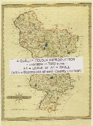
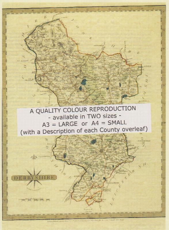
A QUALITY A3 SIZE COLOUR REPRODUCTION FROM JOHN CARY'S 1787 ATLAS WITH DETAILS OF THE COUNTY OVERLEAF. LASER PRINTER ON GOOD QUALITY CARTRIDGE PAPER. SENT FOLDED IN A PLASTIC DISPLAY SLEEVE IN A STIFF CARD ENVELOPE AT THE LARGE LETTER RATE. SCALES VARY
Derbyshire (The King's England)
Arthur Mee's classic pre-WW2 guide to the region's settlements including churches and castles and other historic places – 'The peak country' – with 226 places and 134 pictures.