Search Results for: “England”
1898 Royal Atlas of England and Wales (edited by J.G. Bartholomew)
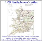
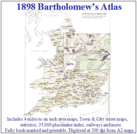
A complete series of topographical maps, physical and statistical charts, town plans, and index of 35,000 names (England and Wales - includes City street maps showing locations no longer in existence through development and bombing in World War II).... More Info
Bacon's Atlas of the British Isles 1881
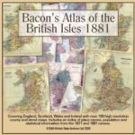
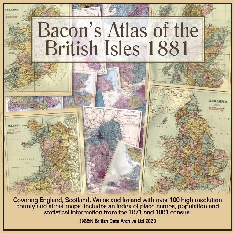
This virtual DVD resource covers England, Scotland, Wales and Ireland with over 100 high-resolution county and street maps. Includes an index of place names, population and statistical information from the 1871 and 1881 census.... More Info
Product Code: GRD6768
Can't find what you're looking for? Try using our filter system to narrow down your search.
Available through our sister site GenFair
Herefordshire (The King's England)
Arthur Mee's classic pre-WW2 guide to the region's settlements including churches and castles and other historic places – 'The western gate of middle England' – with 223 places and 132 pictures.
Kent (The King's England)
Arthur Mee's classic pre-WW2 guide to the region's settlements including churches and castles and other historic places – 'The gateway of England and its great possessions' – with 400 places and 226 pictures.
Monmouthshire (The King's England)
Arthur Mee's classic pre-WW2 guide to the region's settlements including churches and castles and other historic places – 'A green and smiling land' – with 120 places and 92 pictures. (From an era when the county was still considered by some to be in England rather than Wales.)