Search Results for: “England”
1898 Royal Atlas of England and Wales (edited by J.G. Bartholomew)
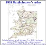
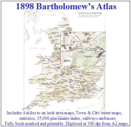
A complete series of topographical maps, physical and statistical charts, town plans, and index of 35,000 names (England and Wales - includes City street maps showing locations no longer in existence through development and bombing in World War II).... More Info
UK Maps Collection


A collection of over 100 maps covering England, Scotland, Ireland and Wales. These high resolution maps can show you how place-names and counties differed from the present day. Contains various printable maps showing towns, counties, and countries in the UK from as early as 1660. More Info
Product Code: GRD36
The Phillimore Atlas and Index of Parish Registers - Hardback Book Special Offer
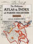
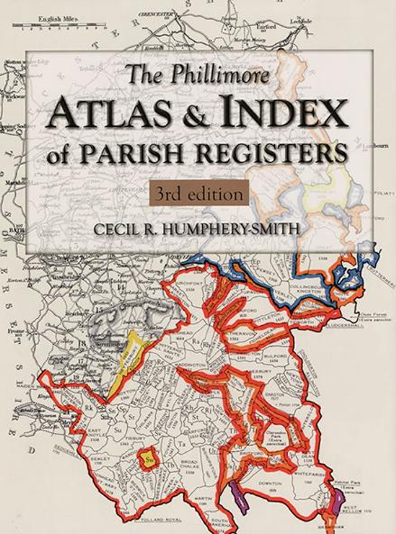
This guide to parish registers, now in its third edition, and covering England, Scotland and Wales, is a vital, time-saving tool that has become universally known as 'the genealogist's bible'. The Atlas includes the famous county 'parish' maps, which show pre-1832 parochial boundaries, colour-coded probate jurisdictions, starting dates of surviving registers, and churches and chapels, where relevant. Topographical maps face each 'parish' map, and show the contemporary road system and other More Info
Cassell's Gazetteer of Great Britain and Ireland for the year 1893 Special Offer
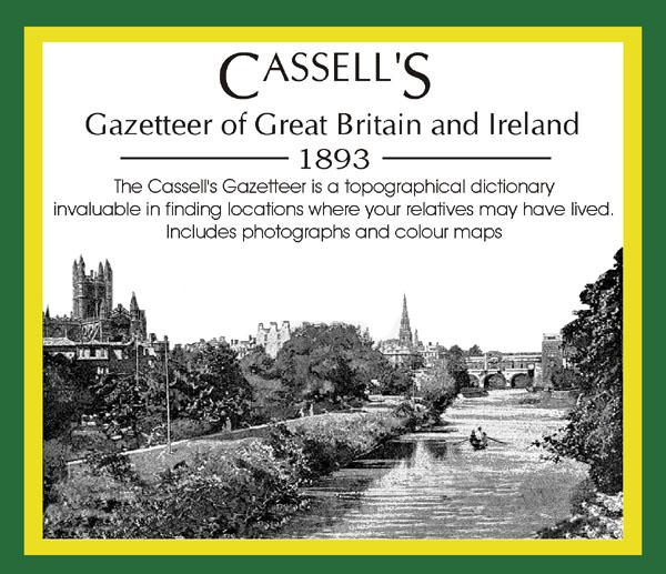
This set contains listings for all counties, cities, towns, villages (with population) and has detailed information on history, geography, architecture, agriculture or industry. Cassell's Gazetteer is a topographical dictionary invaluable in finding locations where your relatives may have lived. It includes photographs and colour maps for reference. *Digitally enhanced images of the original text *Includes photographs and maps *Bookmarked alphabetically *Fully printable... More Info
The National Gazetteer of Great Britain and Ireland for 1868 Special Offer
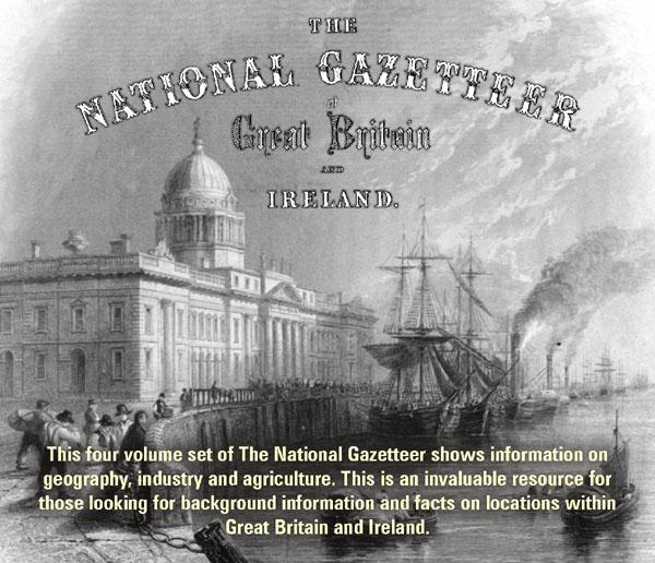
This four volume set of The National Gazetteer shows information on geography, industry and agriculture. This is an invaluable resource for those looking for background information and facts on locations within Great Britain and Ireland. *Digitally enhanced images of the original text *Searchable *Includes colour maps *Bookmarked alphabetically *Fully printable... More Info
A Map of XVII Century England Special Offer
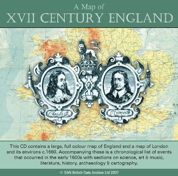
This CD contains a large, full colour map of England and a map of London and its environs c.1660. Accompanying these is a chronological list of events that occurred in the early 1600s with sections on science, art and music, literature, history, archaeology and cartography. *Digitally enhanced images of the original text *Searchable text *Bookmarked by major headings *Fully printable *Includes large full colour map *Contains over 25 pages... More Info
Bacon's Atlas of the British Isles 1881
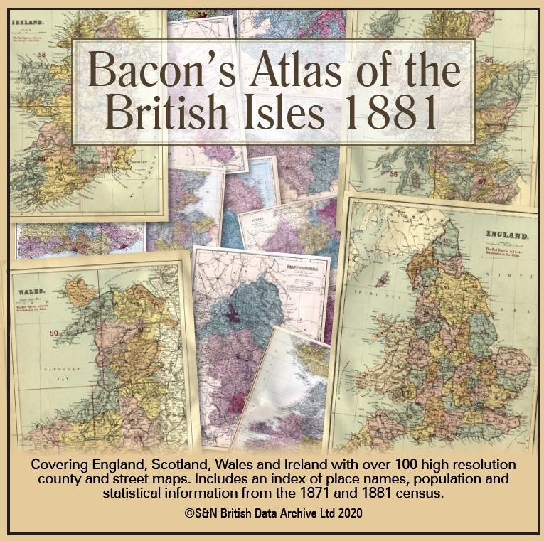
This virtual DVD resource covers England, Scotland, Wales and Ireland with over 100 high-resolution county and street maps. Includes an index of place names, population and statistical information from the 1871 and 1881 census.... More Info
Product Code: GRD6768
Can't find what you're looking for? Try using our filter system to narrow down your search.
Available through our sister site GenFair
Warwickshire (The King's England)
There have been many books on Warwickshire, but never one like this… Arthur Mee’s guide to 220 places in Warwickshire, from Alcester to Yardley, and including the cities of Coventry, Warwick and Birmingham, provides both a snapshot of the county before the Second World War and a comprehensive guidebook to the county’s heritage which remains invaluable for travellers and historians alike t...More Info
Berkshire (The KIng's England)
There have been many books on Berkshire, but never one like this… The perfect historic guide to Berkshire churches, castles and other historic places. “A thousand years of history is wrapt up in the Berkshire hills, and far beyond that its story goes…” – Arthur Mee Arthur Mee’s guide to 170 places in the historic county of Berkshire (including the Vale of the White Horse, in O...More Info
Cambridgeshire (The King's England)
Arthur Mee's classic pre-WW2 guide to the region's settlements including churches and castles and other historic places – 'The country of the fens' – with 150 places and 106 pictures.
Derbyshire (The King's England)
Arthur Mee's classic pre-WW2 guide to the region's settlements including churches and castles and other historic places – 'The peak country' – with 226 places and 134 pictures.
Devon (The King's England)
Arthur Mee's classic pre-WW2 guide to the region's settlements including churches and castles and other historic places – 'Cradle of our seamen' – with 400 places and 200 pictures.