Search Results for: “England”
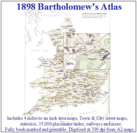
1898 Royal Atlas of England and Wales (edited by J.G. Bartholomew)
A complete series of topographical maps, physical and statistical charts, town plans, and index of 35,000 names (England and Wales - includes City street maps showing locations no longer in existence through development and bombing in World War II).... More Info
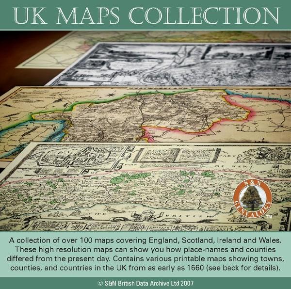
UK Maps Collection
A collection of over 100 maps covering England, Scotland, Ireland and Wales. These high resolution maps can show you how place-names and counties differed from the present day. Contains various printable maps showing towns, counties, and countries in the UK from as early as 1660. More Info
Product Code: GRD36
Cassell's Gazetteer of Great Britain and Ireland for the year 1893 Special Offer
This set contains listings for all counties, cities, towns, villages (with population) and has detailed information on history, geography, architecture, agriculture or industry. Cassell's Gazetteer is a topographical dictionary invaluable in finding locations where your relatives may have lived. It includes photographs and colour maps for reference. *Digitally enhanced images of the original text *Includes photographs and maps *Bookmarked alphabetically *Fully printable... More Info
The National Gazetteer of Great Britain and Ireland for 1868 Special Offer
This four volume set of The National Gazetteer shows information on geography, industry and agriculture. This is an invaluable resource for those looking for background information and facts on locations within Great Britain and Ireland. *Digitally enhanced images of the original text *Searchable *Includes colour maps *Bookmarked alphabetically *Fully printable... More Info
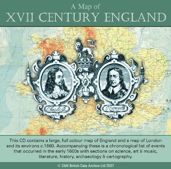
A Map of XVII Century England Special Offer
This CD contains a large, full colour map of England and a map of London and its environs c.1660. Accompanying these is a chronological list of events that occurred in the early 1600s with sections on science, art and music, literature, history, archaeology and cartography. *Digitally enhanced images of the original text *Searchable text *Bookmarked by major headings *Fully printable *Includes large full colour map *Contains over 25 pages... More Info
Bacon's Atlas of the British Isles 1881
This virtual DVD resource covers England, Scotland, Wales and Ireland with over 100 high-resolution county and street maps. Includes an index of place names, population and statistical information from the 1871 and 1881 census.... More Info
Product Code: GRD6768
Can't find what you're looking for? Try using our filter system to narrow down your search.
Available through our sister site GenFair
Pigot's Commercial Directory for Northern England 1816-1817
This disk contains a copy of Pigot's Commercial Directory of the Northern Counties of England, originally produced in 1816. Arranged by county and town, the directory shows the commercial enterprises and local information about these towns, which can be most useful for students of local and family history. The pages are reproduced in Adobe Acrobat format (reader supplied), and the CD is bookmarked...More Info
Hemingway Family of Yorkshire, England
The Hemingway Family of Yorkshire, England - a reprinted version of the excellent text originally compiled by John Leonard Noades Hemingway (1884-1955) and available on a poor quality LDS film. This reprinted, bound edition of 152 A4 pages transcribed from the film includes the nine trees from the original work, masses of extracts from various Parish Registers, Will Calendars and previously publis...More Info
Buckinghamshire (The King's England)

There have been many books on Buckinghamshire, but never one like this… The perfect historic guide to Buckinghamshire churches, castles and other historic places. “Buckinghamshire has a famous roll of honour; no small county has contributed more to England’s fame…” – Arthur Mee Arthur Mee’s guide to 206 places in the historic county of Buckinghamshire, from Addington to Wray...More Info
Historic Oxford (The King's England)

This volume revives the extensive guide to Oxford first published in 1942 within Arthur Mee’s famed and popular King’s England series, here as a separate volume about the city of dreaming spires for the first time. The book has comprehensive detail about Oxford’s historic landmarks, churches and colleges, accompanied by more than 50 photos from the original Oxfordshire volume. Charming an...More Info
Cornwall (The King's England)
Arthur Mee's classic pre-WW2 guide to the region's settlements including churches and castles and other historic places – 'England's farthest south' – with 250 places and 173 pictures.
