Search Results for: “London”
Please note that not all our products are available as downloads. Click here to see both download and physical products.
London Colour Street Map with Index
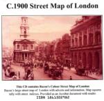
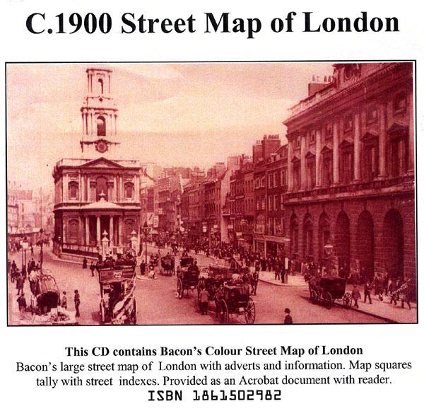
Bacon's large-print map of London and Suburbs circa 1900. Extending from Hampton Court to Greenwich and Highgate to Crystal Palace. Scanned in full colour with alphabetical index, provided as an Acrobat file with reader.... More Info
Bartholomew's Handy Reference Atlas of London & Suburbs 1930 on CD
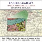
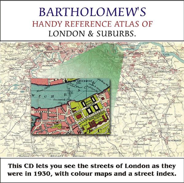
Bartholomew's Handy Reference Atlas of London and Suburbs Walk the streets of London as they were in 1930. *Digitally enchanced images of the original text *Includes full colour maps *Searchable by whole or part name *Bookmarked by major headings *Fully printable... More Info
Greater London Atlas - Map CD
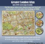
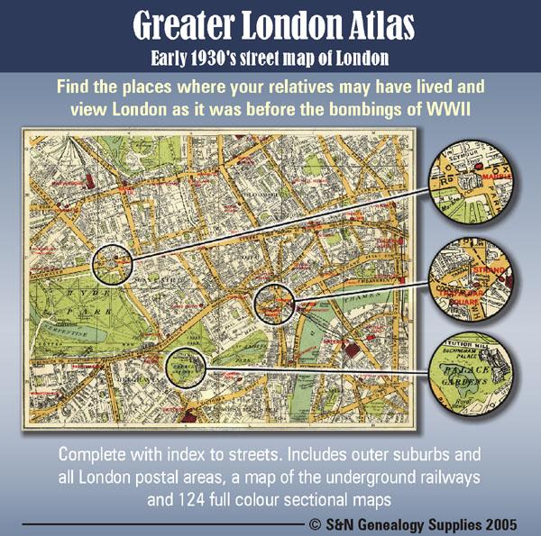
Early 1930s street map of London on CD-ROM. Find the places where your relatives may have lived and view London as it was before the bombings of WWll. Complete with indexes to streets. Includes outer suburbs and all London postal areas, a map of the underground railways and 124 full colour sectional maps. * Digitally enhanced images of original text * Bookmarked index * Fully printable * Full Colour... More Info
A Map of XVII Century England Special Offer
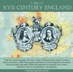
This CD contains a large, full colour map of England and a map of London and its environs c.1660. Accompanying these is a chronological list of events that occurred in the early 1600s with sections on science, art and music, literature, history, archaeology and cartography. *Digitally enhanced images of the original text *Searchable text *Bookmarked by major headings *Fully printable *Includes large full colour map *Contains over 25 pages... More Info
London, Philips' A.B.C. Pocket Atlas-Guide to London (c.1915) Special Offer
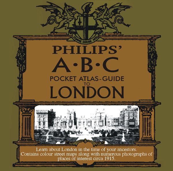
Learn about London in the time of your ancestors. Contains colour street maps along with numerous photographs of places of interest circa 1915. * Digitally enhanced images of the original text * Searchable text * Bookmarked by major headings * Fully printable... More Info
London, Handy Map of London (c.1890)
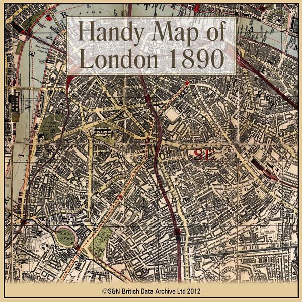
This CD contains a high resolution map of London circa 1890. This is ideal for seeing where your ancestors lived in late Victorian times, and for looking at streets which may no longer exist. The map is highly detailed and includes street names, parks, railways, railway stations, steamer routes, and omnibus and tramway routes. * Digitally enhanced images of the original map * Large colour map * Bookmarked for easy viewing * Fully printable... More Info
Product Code: GRD6105
Can't find what you're looking for? Try using our filter system to narrow down your search.
Available through our sister site GenFair
CD 46 CITY OF LONDON BURIALS. An Index to 118,500 burials in 52 City Parishes.
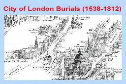
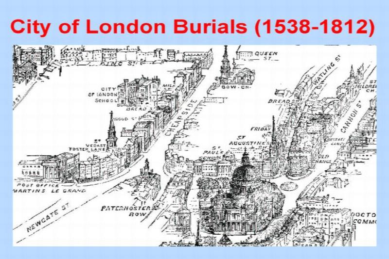
CD 46 City of London Burials 1400-1812 - Over 118,500 burials in 52 City Parishes - transcribed by Cliff Webb, plus many volunteers worldwide, indexed and prepared for publishing by Chris Willis and Rosemary Cleaver, September 2017. All Hallows Bread Street: 1538-1755. All Hallows Honey Lane: 1538-1667. All Hallows Lombard Street: 1550-1653. All Hallows Staining: 1653-1710. All Hallows The Gre...More Info
The German Hospital in London and the Community it served 1845 to 1948
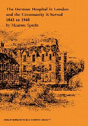
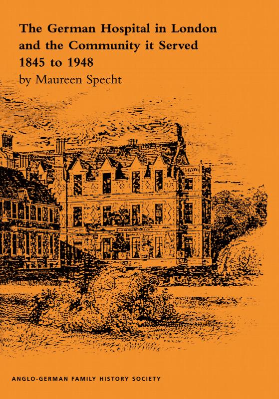
By Maureen Specht. Fully revised 2nd edition (1997). This A4-size illustrated book sets out the history of the German Hospital in Dalston, Hackney, in central London, which was founded by the German Community to provide medical care to the expanding German-speaking population. It also tells about the German community in England and why so many chose to live there. 72 pages (A4) with many illustrat...More Info
Geoffrey de Mandeville and London’s Camelot, ghosts, mysteries and the occult in Barnet
Historian and archaeologist Jennie Lee Cobban explores the occult mysteries of the Barnet area, delves into its hidden history and brings to life some of the bizarre characters who have lived in this most surprising of London suburbs.
The Streets of the City of London in the Census of 1851
A 48-page A5 illustrated LWMFHS booklet contains a list of all the street names in the City of London which appear in the 1851 census returns, which it is hoped will be useful information for the genealogical researcher.
Index of London Hospitals and their Record / Cliff Webb
Hospital records are an extremely useful source of information for family historians. Particularly useful are their birth, death, admission, and discharge registers. There are also creed registers, staff records, and a wide range of other sources. This volume tells you what is available for London, and where it can be found.