Search Results for: “Gloucestershire”
Berkshire, Buckinghamshire, Gloucestershire, Hampshire and Oxfordshire Pigot's 1830 Directory Special Offer

Pigot's directories contain descriptions of all major county towns, with background historical information, lists of tradespeople and of nobility, gentry and clergy, and general local information. This edition also has a detailed engraved map of each county. More Info
Gloucestershire, Bristol 1925 Kelly's Directory Special Offer

Kelly's Directory of Bristol and its suburbs has a street directory, a trades directory and a residents directory (listing commercial and eminent private residents). It also carries listings for adjacent villages and general local information. *Digitally enhanced images of the original text * Searchable text * Bookmarked by major headings * Fully printable... More Info
Gloucestershire, Wright's Bristol & Clifton 1895 Directory Special Offer

This directory covers Bristol and its suburbs along with adjacent villages. It contains a street directory, names directory, villa and detached house directory, and professional and commercial directories. Includes large colour map. *Digitally enhanced images of the original text *Searchable text *Bookmarked by major headings *Fully printable *Large colour map... More Info
Gloucestershire, Bristol 1933 Kelly's Directory Special Offer


Kelly's Directory of Bristol and its suburbs has a street directory, a trades directory and a residents directory. It also carries listings for adjacent villages and general local information. This 1246 page directory may be useful for finding relatives that may have owned a trade or business in the area of Bristol. The residential section includes street addresses and heads of households for the area. * Digitally enhanced images of the original text * Searchable text * Bookmarked by maj... More Info
Somerset & Bristol Kelly's 1894 Directory
This CD resources takes a look at Somerset and Bristol before the turn of the century. It includes a Court directory, Trades and Commercial directories, and a Towns and Villages directory which lists private residents for each entry. The Bristol section adds Street, Clerical and Conveyance directories, which include schools and colleges, police stations, hospitals, etc. The CD also contains a map of Somerset. More Info
Can't find what you're looking for? Try using our filter system to narrow down your search.
Available through our sister site GenFair
An Historic Map of Wotton-under–Edge


This A4 size coloured map is based on the 1882 Ordnance Survey map of the town at 25 inches to the mile. The map has been annotated with information on some of the historic buildings, people and facts. As well as being of interest in itself it makes an ideal gift when visiting relatives and friends abroad.
By Asia to Australia - an 1849 Diary The Diary of a Voyage in 1849 by James Broom; edited by Beryl A. Kingan. Published by Wotton-under-Edge Historical Society 2004
This Diary covers the first two months of a voyage form Plymouth to Adelaide, and the start of a return voyage in 1851. The diary was found in the Society’s archives within memorabilia of the Foxwell family, whose home was the Post Office in the nineteenth century in Wotton-under-Edge.. Research has revealed that the diarist lived in Warminster, Wiltshire and was writing the diary for...More Info
Four into One. The Story of the Blue Coat School, Wotton-under-Edge; by Beryl A. Kingan. Published by Wotton-under-Edge Historical Society 2007

This is the story of four schools which became united as one school. The Blue Coat School was founded in 1693 and the Chipping School in 1836. The Church Infants School merged with the Chipping School in 1893. In 1923 Blue Coat became an Infants School which combined with the Chipping School in 1974 to become Blue Coat C of E Primary School. On 28th February 2000 the school moved to new premises, ...More Info
WWI Recruitment Ledgers for the men of Wotton-under-Edge August 1914 to November 1915

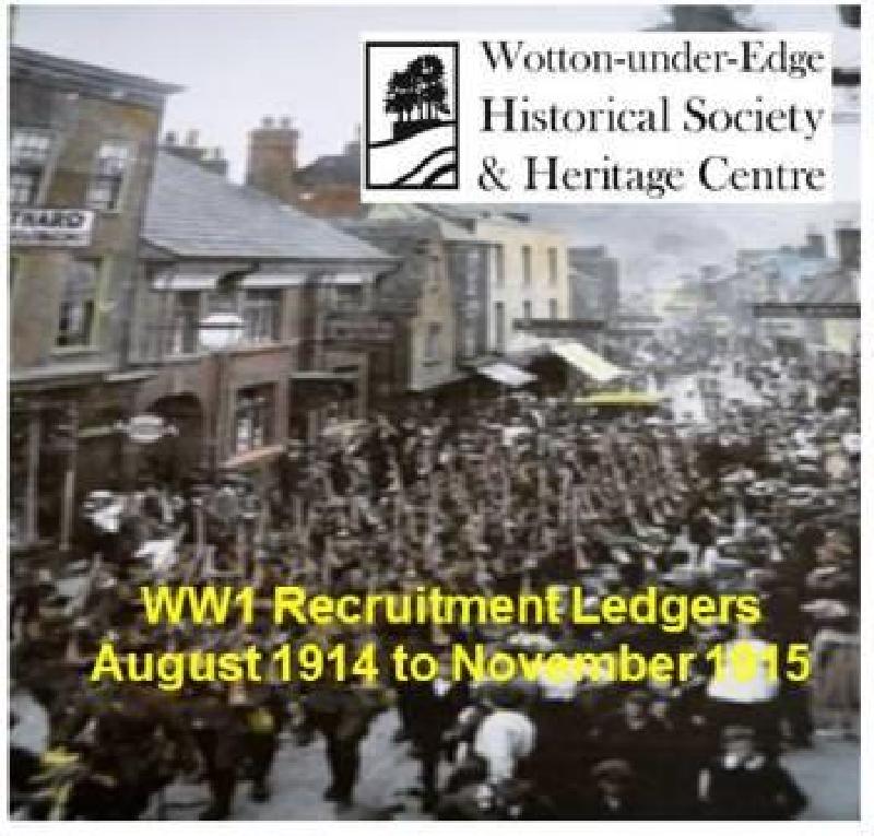
Twenty three days after the declaration of WW1 the first Ledger was opened on 27th August 1914 with the last entry being on 30th November 1915, prior to conscription in January 1916. There are 465 men listed with 167 believed to have served their King and Country. Twenty four of those listed are known to have died during the conflict, being listed on the Wotton-under-Edge War Memorial, the Roll of...More Info
Change and continuity east of Tudor Bristol
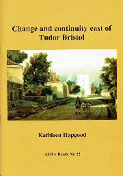

Kathleen Hapgood 978 1 911592 22 8 Barton Hill, Bromley Heath, Downend, Eastville, Easton, Fishponds, Greenbank, Hillfields, Kingswood, Mangotsfield, Redfield, St George, Speedwell, Soundwell, Stapleton and Whitehall: all today thriving districts of Bristol. But all that area east of old Bristol Castle was countryside in the sixteenth century. Kathleen Hapgood (author of ALHA No.7 T...More Info