Search Results for: “Gloucestershire”
UK Maps Collection


A collection of over 100 maps covering England, Scotland, Ireland and Wales. These high resolution maps can show you how place-names and counties differed from the present day. Contains various printable maps showing towns, counties, and countries in the UK from as early as 1660. More Info
Product Code: GRD36
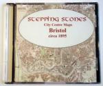
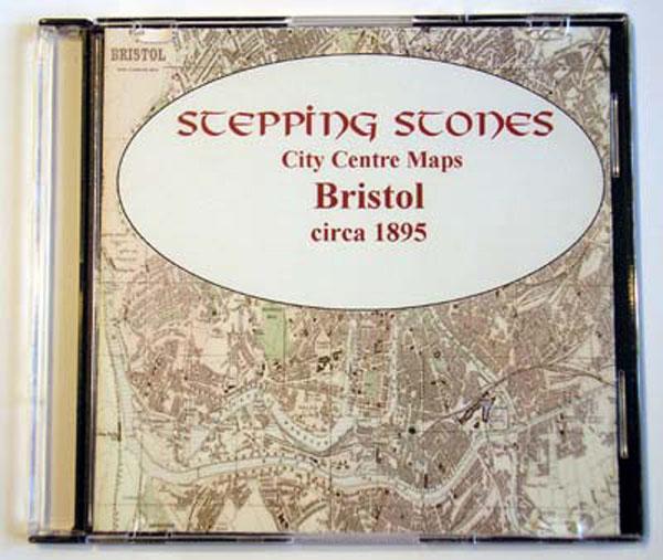
Gloucestershire, Cheltenham c.1890 Map CD
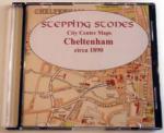
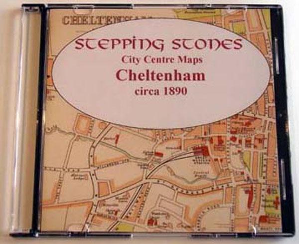
Stepping Stones publication Cheltenham c.1890 Map CD... More Info
Can't find what you're looking for? Try using our filter system to narrow down your search.
Available through our sister site GenFair
Gloucestershire Machine Breakers. Volume I: The Riots, Trials & Appendices
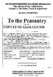
This volume is an account of the riots in Gloucestershire, in the form of a diary of events, from John Raymond Barker's unsuccessful attempts to persuade the principal inhabitants of Fairford to be sworn in as Special Constables, through the breaking of thrashing machines at Beverstone, Tetbury, Horseley, Fairford, Coln St Aldwyns, Eastleach Turville, Eastleach Martin, Quenington, Bibury, and Coln...More Info
GLOUCESTERSHIRE 1787
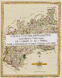
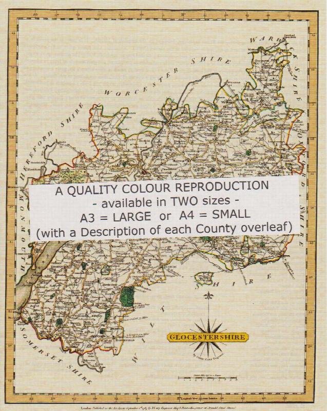
A QUALITY A3 SIZE COLOUR REPRODUCTION FROM JOHN CARY'S 1787 ATLAS WITH DETAILS OF THE COUNTY OVERLEAF. LASER PRINTER ON GOOD QUALITY CARTRIDGE PAPER. SENT FOLDED IN A PLASTIC DISPLAY SLEEVE IN A STIFF CARD ENVELOPE AT THE LARGE LETTER RATE. SCALES VARY
Gloucestershire (The King's England)
Arthur Mee's classic pre-WW2 guide to the region's settlements including churches and castles and other historic places – 'The glory of the Cotswolds' – with 334 places and 166 pictures.
No 09: Who Owned Rutland in 1873? Rutland Entries in Return of Owners of Land 1873, by T H McK Clough (2010)
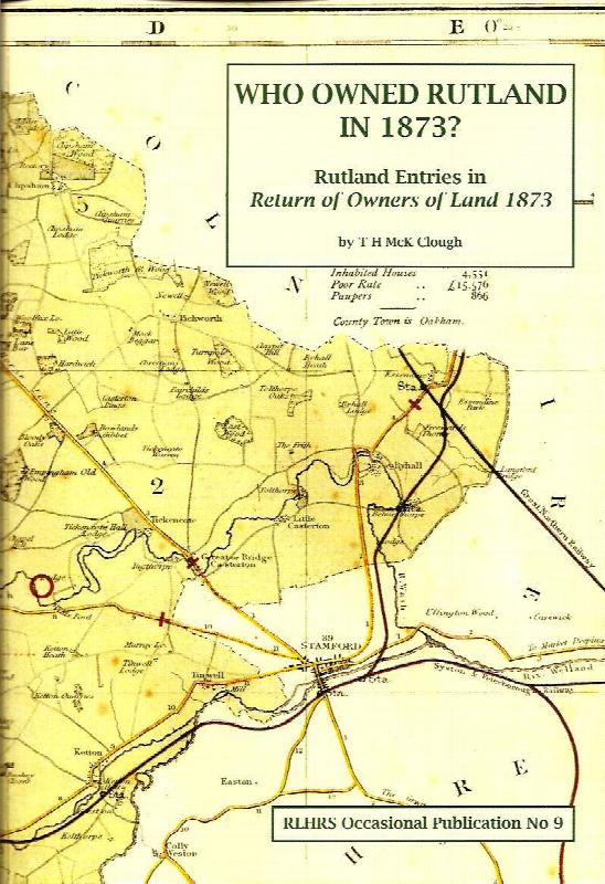
Transcript of the Rutland section of the 1873 Return of Owners of Land, with notes on most of the 563 entries. Analysis of who they were, where they came from and what they did. Special sections on Lyddington parish and on a mysterious group of small landowners with strong Gloucestershire connections. Illustrations, tables, index of addresses (60pp). In the early 1870s there were serious social...More Info