Search Results for: “Guernsey”
UK Maps Collection


A collection of over 100 maps covering England, Scotland, Ireland and Wales. These high resolution maps can show you how place-names and counties differed from the present day. Contains various printable maps showing towns, counties, and countries in the UK from as early as 1660. More Info
Product Code: GRD36
Channel Islands, The Homeland Handbooks - Part 1 Guernsey, Sark, Alderney & Herm - Ordnance Map for 1933 (approx) Special Offer
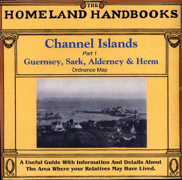
This guide provides invaluable background information on Channel Islands Part 1 Guernsey, Sark, Alderney and Herm in the 1900's. This official council guide has maps, photographs and illustrations. It covers the history, traditions, worthies, antiquities and literary associations. This CD is a useful guide with information and details about the area where your relatives may have lived. *Digitally enchanced images of the original text *Includes maps, photographs and illustrations *Searchab More Info
Can't find what you're looking for? Try using our filter system to narrow down your search.
Available through our sister site GenFair
Andover & Whitchurch 1898
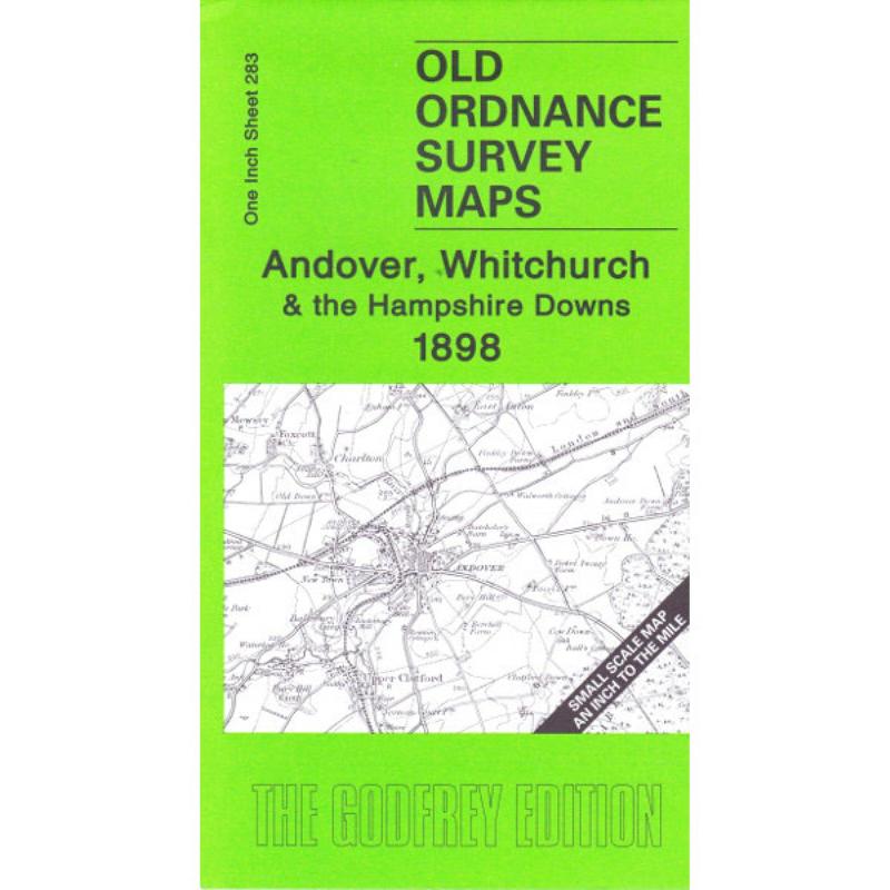
This map covers the area from Andover and Whitchurch as well as Buttermere and Highclere. On the reverse is a larger scale map of the Weyhill. The history of the area is by Tony Painter.
Central Portsmouth 1931
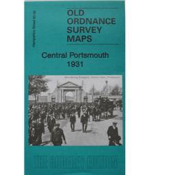

As well as the map there is a local history written by Tony Painter and extracts from Kelly's Directory for Hampshire, 1927.
Portsea 1907
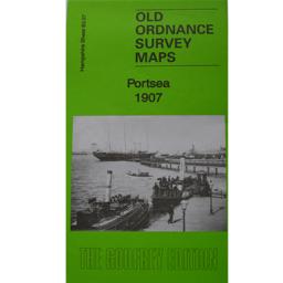
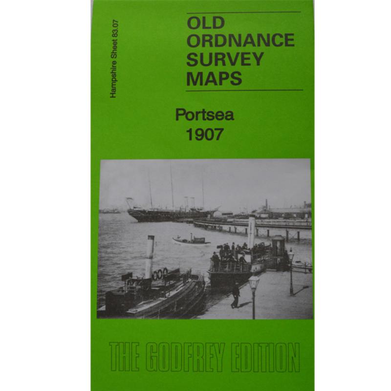
As well as the map there is a local history written by Alan Godfrey and extracts from Kelly's Directory for Hampshire, 189
NEW APPLICATION for Overseas Membership of Hampshire Genealogical Society including Printed Journal
NEW APPLICATION for Overseas Membership of Hampshire Genealogical Society including Printed Journal
PS90 Compleat Parish Officer 1734
Reprint of a guide for parish officers to deal with complex poor laws and social problems. A5 104p